
MyTopo
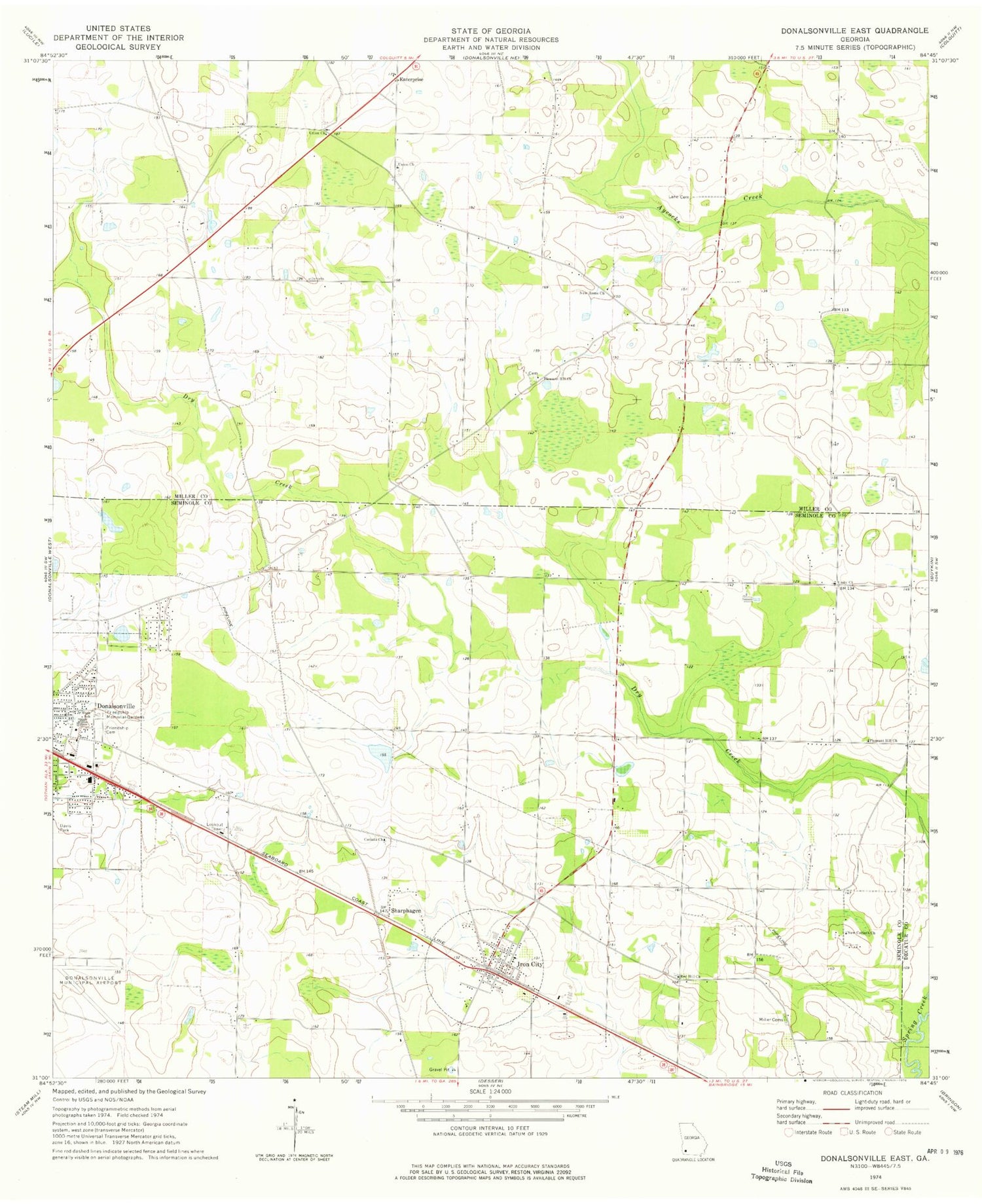
Classic USGS Donalsonville East Georgia 7.5'x7.5' Topo Map
Couldn't load pickup availability
Historical USGS topographic quad map of Donalsonville East in the state of Georgia. Map scale may vary for some years, but is generally around 1:24,000. Print size is approximately 24" x 27"
This quadrangle is in the following counties: Decatur, Miller, Seminole.
The map contains contour lines, roads, rivers, towns, and lakes. Printed on high-quality waterproof paper with UV fade-resistant inks, and shipped rolled.
Contains the following named places: Antioch Free Will Baptist Church, Corinth Cemetery, Corinth Church, Enterprise, Fiveash Cemetery, Friendship Cemetery, Friendship Memorial Gardens, Horns Cross Road, Indian Pond, Iron City, Iron City Baptist Church, Iron City Post Office, Iron City Volunteer Fire Department, Lane Cemetery, Miller Cemetery, Miller County Volunteer Fire Department Station 3 - Enterprize Volunteer Fire Department, New Corinth Church, New Home Cemetery, New Home Church, Oak Long Missionary Baptist Church Cemetery, Pine Lake Estates, Pleasant Hill Church, Red Hill Cemetery, Red Hill Church, Seminole County Primary School, Sharphagen, Spooner, Town of Iron City, Twilight School, Union Church, Union Missionary Baptist Church Cemetery, Union Primitive Baptist Church Cemetery, Unity Church, Warrens Temple Church of God in Christ


