MyTopo
Classic USGS Donalsonville NE Georgia 7.5'x7.5' Topo Map
Couldn't load pickup availability
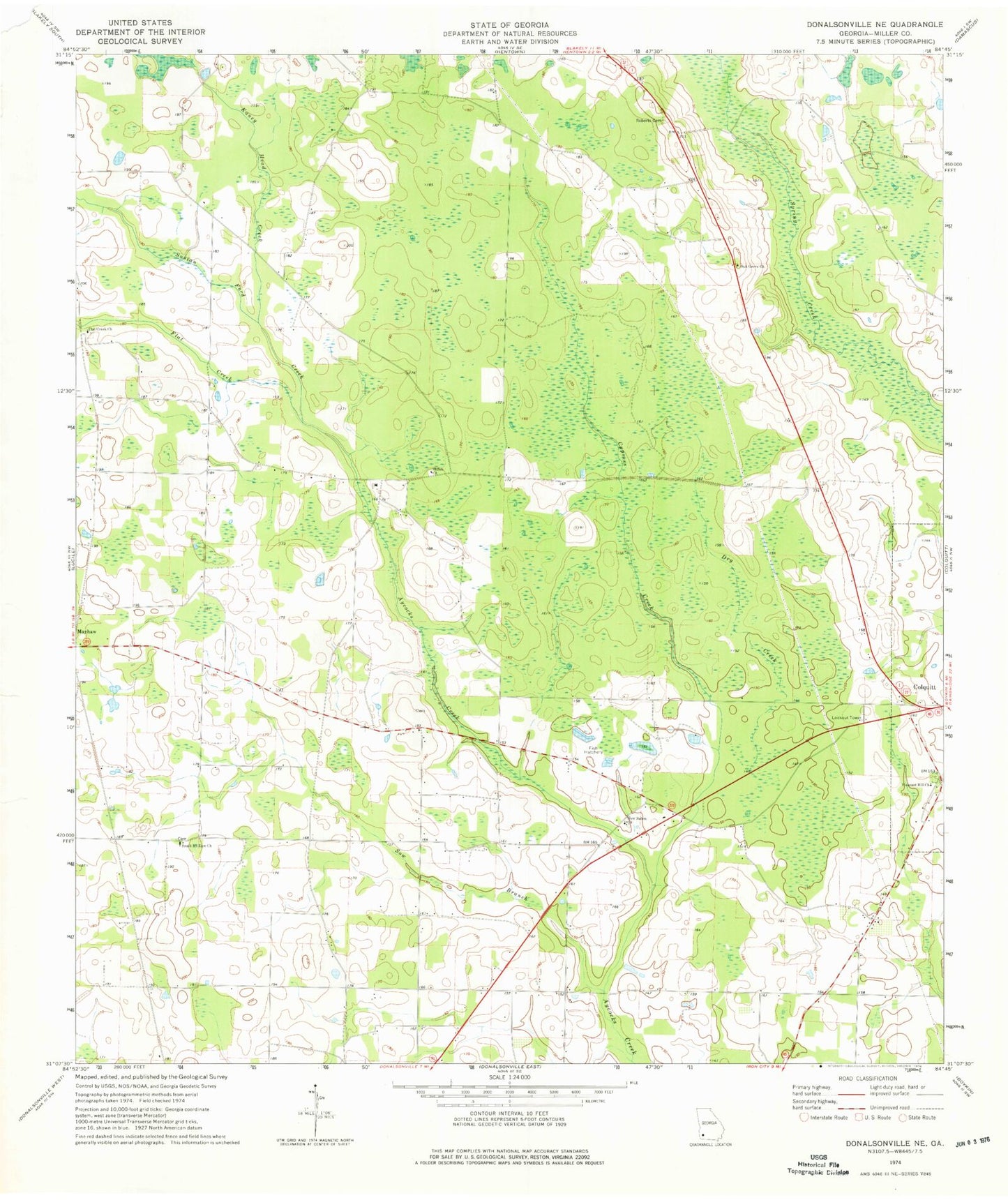
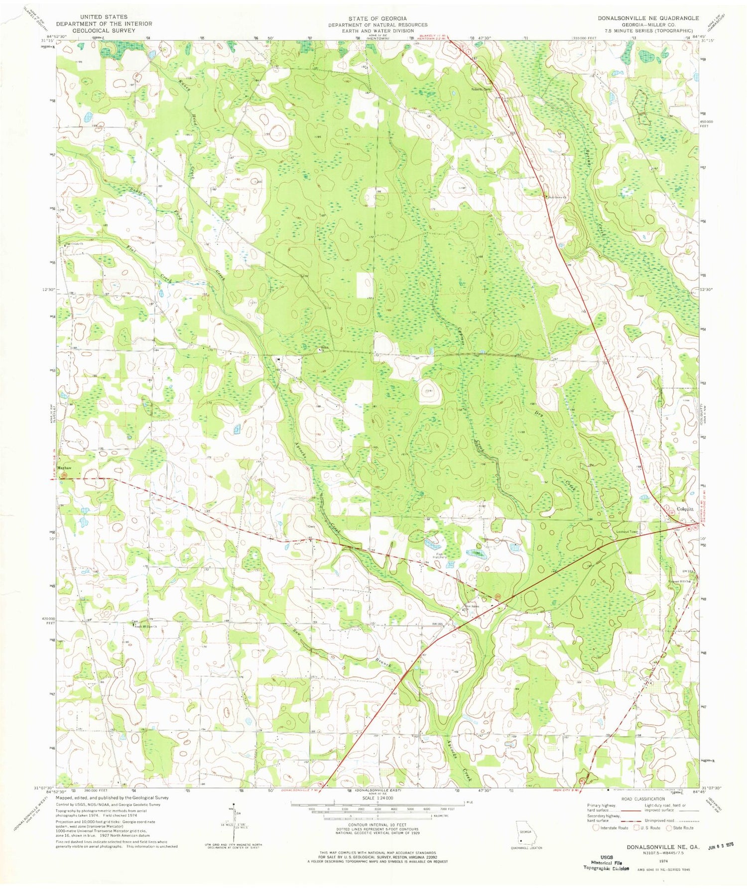
Historical USGS topographic quad map of Donalsonville NE in the state of Georgia. Map scale may vary for some years, but is generally around 1:24,000. Print size is approximately 24" x 27"
This quadrangle is in the following counties: Miller.
The map contains contour lines, roads, rivers, towns, and lakes. Printed on high-quality waterproof paper with UV fade-resistant inks, and shipped rolled.
Contains the following named places: Bush Pond, Cratic Cemetery, Cypress Creek, Dozier, Dry Creek, Flat Creek, Flat Creek Cemetery, Flat Creek Church, Floydtown, Joe Shingler, Kaney Head Creek, Kaney Head School, Mayhaw Division, Middleton Pond, Miller County Wildlife Management Area, New Salem Cemetery, New Salem Church, Newberry Family Cemetery, Newberry School, Oak Grove Free Will Baptist Church, Piney Pond, Pleasant Hill Cemetery, Porto Rico School, Roberts Cemetery, Shiloh Church, South Mount Zion Church, Sow Branch, Susian Ford Creek