MyTopo
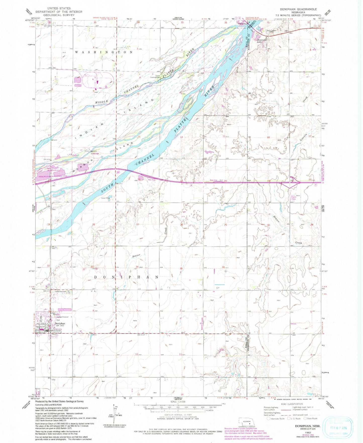
Classic USGS Doniphan Nebraska 7.5'x7.5' Topo Map
Couldn't load pickup availability
Historical USGS topographic quad map of Doniphan in the state of Nebraska. Map scale may vary for some years, but is generally around 1:24,000. Print size is approximately 24" x 27"
This quadrangle is in the following counties: Hall, Hamilton, Merrick.
The map contains contour lines, roads, rivers, towns, and lakes. Printed on high-quality waterproof paper with UV fade-resistant inks, and shipped rolled.
Contains the following named places: Camp Augustine, Camp Cosmopolitan, Cedar View Cemetery, Do-Mar Mobile Home Park, Doniphan, Doniphan Post Office, Doniphan Public Schools, Doniphan Volunteer Fire and Rescue, Ermas Desire Sculpture, Grand Island Historical Marker, Grand Island Rest Area - Eastbound, Grand Island Rest Area - Westbound, Grand Island RV Park, Indian Island, Junctionville, Junctionville Marker, Junctionville Post Office, KRGI-AM (Grand Island), KROA-FM (Grand Island), Middle Channel Platte River, Morman Island State Wildlife Management Area, Mormon Island, Riverside Lake, Saint Anns Catholic Church, Saint Joseph and Grand Island Railroad Historical Marker, Saint Paul Lutheran Church, School Number 19, School Number 40, School Number 53, South Channel Platte River, Township of Doniphan, United Methodist Church, Village of Doniphan, ZIP Code: 68832