MyTopo
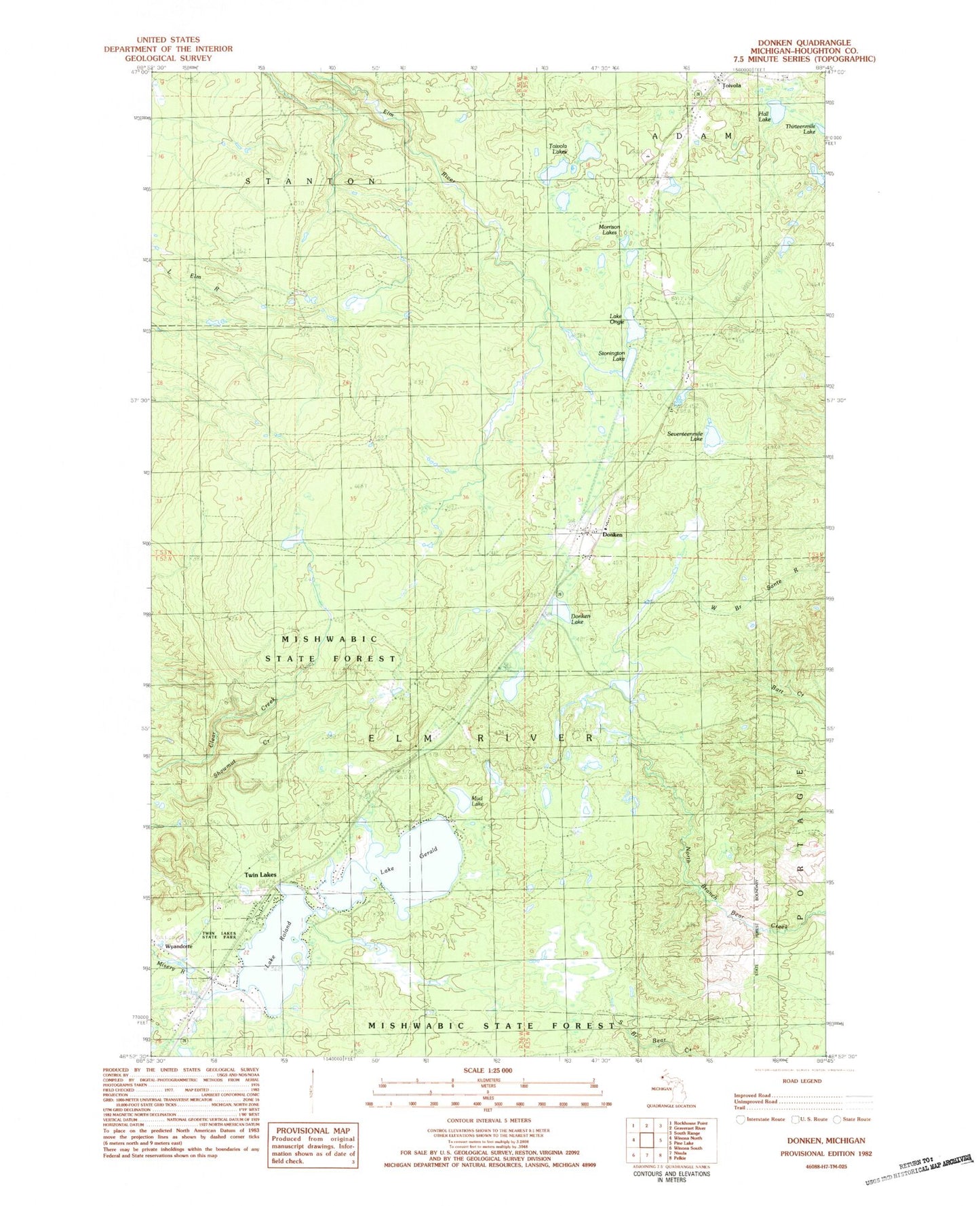
Classic USGS Donken Michigan 7.5'x7.5' Topo Map
Couldn't load pickup availability
Historical USGS topographic quad map of Donken in the state of Michigan. Map scale may vary for some years, but is generally around 1:24,000. Print size is approximately 24" x 27"
This quadrangle is in the following counties: Houghton.
The map contains contour lines, roads, rivers, towns, and lakes. Printed on high-quality waterproof paper with UV fade-resistant inks, and shipped rolled.
Contains the following named places: Donken, Donken Lake, Donken Post Office, Donken Station, Elm River Lookout Tower, Elm River Station, Elmriver Post Office, Hall Lake, Lake Gerald, Lake Ongie, Lake Roland, Lake Roland Station, Michigan Department of Natural Resources Twin Lakes Field Office, Morrison Lake, Mud Lake, Seventeenmile Lake, Shawmut Mine, Stenington Station, Stonington, Stonington Lake, Toivola, Toivola Lakes, Toivola Post Office, Toivola Station, Township of Elm River, Twin Lakes, Twin Lakes - Elm River Fire Department, Twin Lakes Park, Wyandotte Hills Golf Course, ZIP Code: 49965