MyTopo
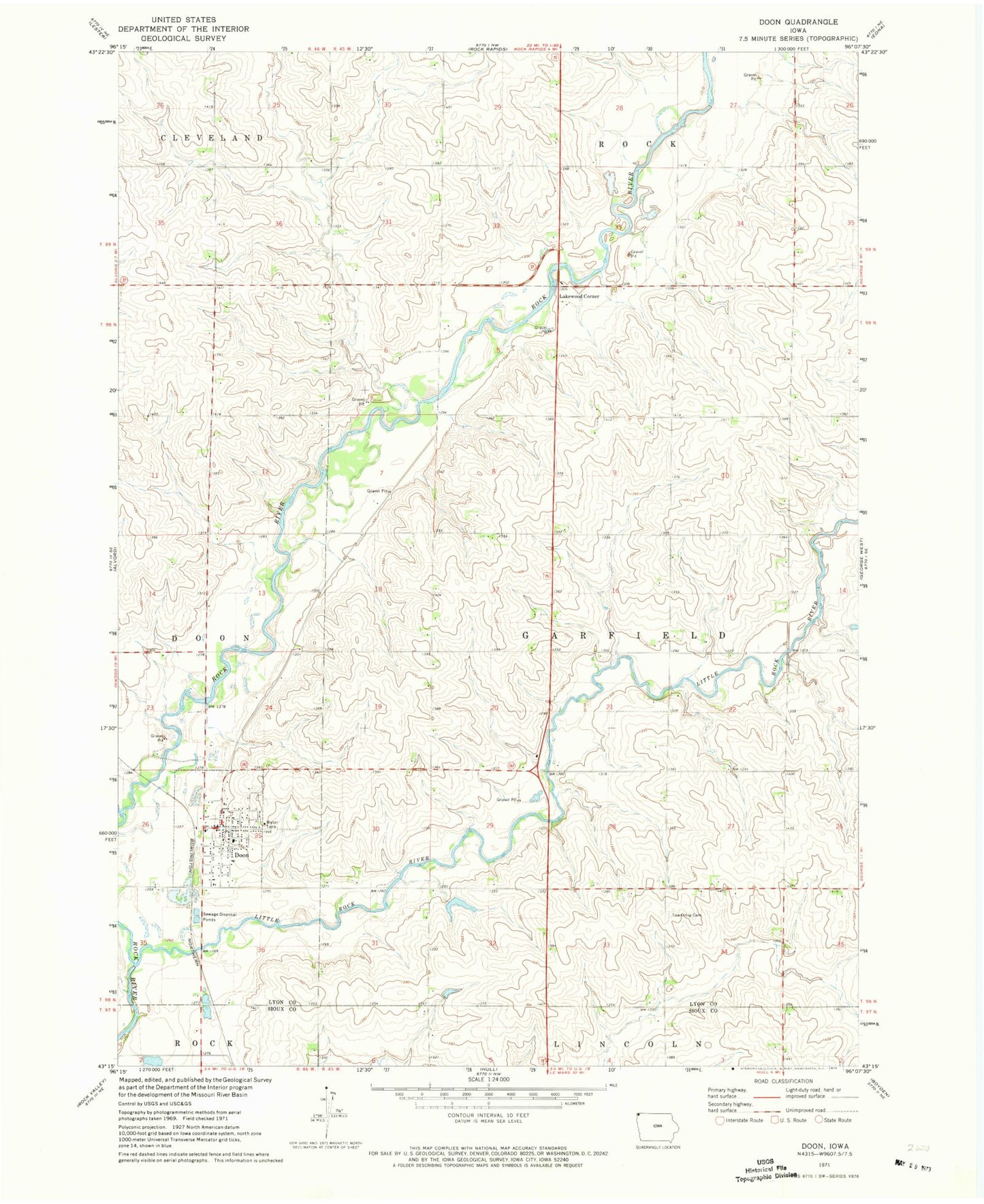
Classic USGS Doon Iowa 7.5'x7.5' Topo Map
Couldn't load pickup availability
Historical USGS topographic quad map of Doon in the state of Iowa. Map scale may vary for some years, but is generally around 1:24,000. Print size is approximately 24" x 27"
This quadrangle is in the following counties: Lyon, Sioux.
The map contains contour lines, roads, rivers, towns, and lakes. Printed on high-quality waterproof paper with UV fade-resistant inks, and shipped rolled.
Contains the following named places: Anderson Feeds Incorporated Elevator, Brinkhous Farms, City of Doon, De Boer Farm, Deere Lane Farms, Dengler Farms, Doon, Doon Christian School, Doon Elevator Company Elevator, Doon Fire Department, Doon Post Office, Doon Protestant Reformed Church, Doon Wildlife Area, Dusty Hollow Farms, Farmers Elevator Company Elevator, First Congregational Church, First Reformed Church, G and B Farm, Garfield Township Cemetery, Hasche Farms, Lakewood, Lakewood Corner, Lakewood Corners Wildlife Area, Lakewood Farm, Lakewood Post Office, Little Rock River, Maassen Farm, Mud Creek, Northwest Iowa Protestant Reformed School, Post Farm, Smead Post Office, Sunny View Farm, Township of Garfield, United Reformed Church, Vandevegte Farm, Vanoort Farm, Wynia Farms, ZIP Code: 51235