MyTopo
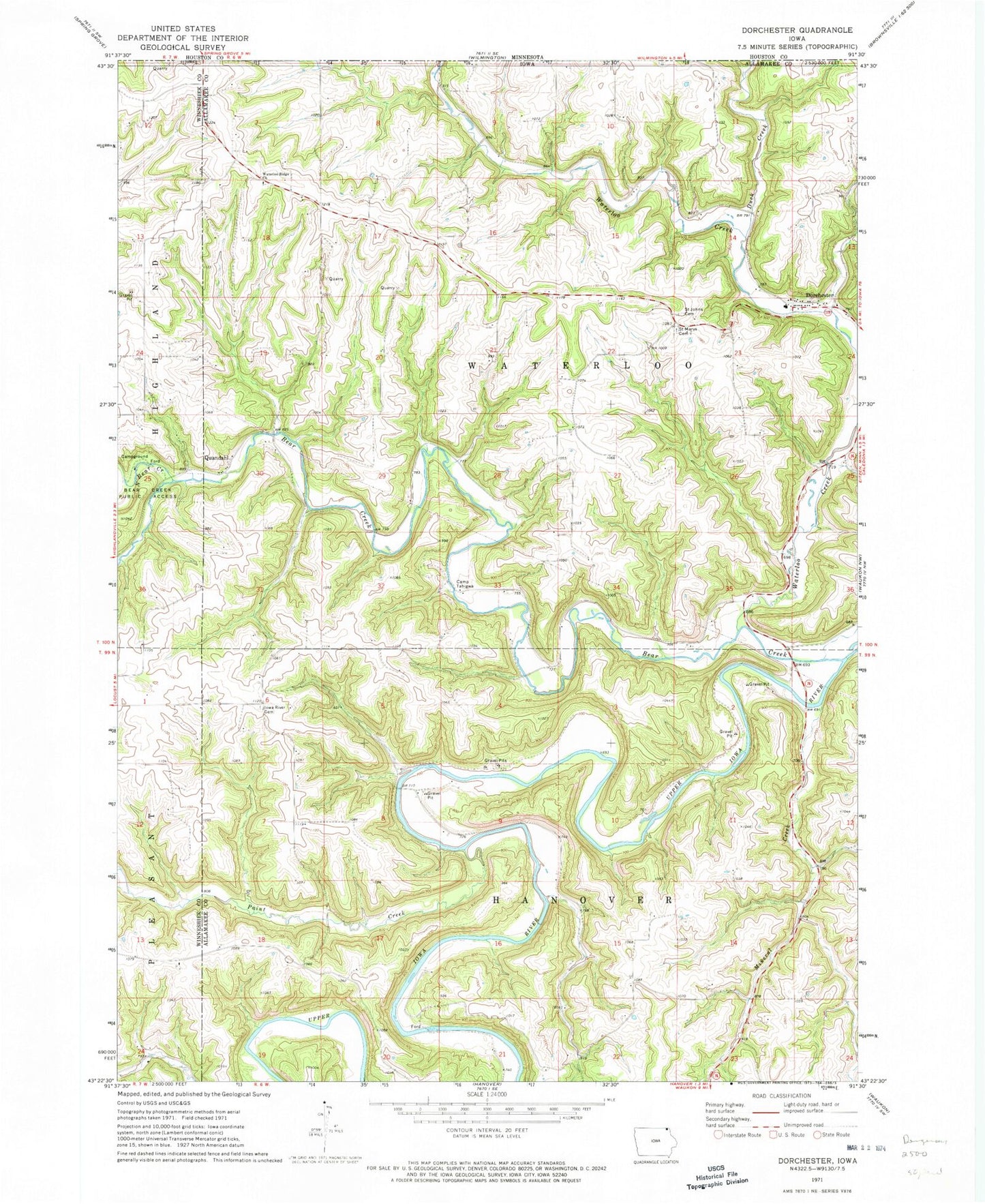
Classic USGS Dorchester Iowa 7.5'x7.5' Topo Map
Couldn't load pickup availability
Historical USGS topographic quad map of Dorchester in the state of Iowa. Typical map scale is 1:24,000, but may vary for certain years, if available. Print size: 24" x 27"
This quadrangle is in the following counties: Allamakee, Winneshiek.
The map contains contour lines, roads, rivers, towns, and lakes. Printed on high-quality waterproof paper with UV fade-resistant inks, and shipped rolled.
Contains the following named places: Bear Creek, Bear Creek Public Access, Camp Tahigwa, Dorchester, Duck Creek, Iowa River Cemetery, Mineral Creek, North Bear Creek, Paint Creek, Quandahl, Saint Johns Methodist Cemetery, Saint Marys Cemetery, South Bear Creek, Waterloo Creek, Waterloo Ridge Church, Bergen, Camp Tahigwa Landing Site Heliport, Township of Hanover, Township of Waterloo, Pine Creek Wildlife Management Area, Swenson Farm Cemetery, Iverson Bottoms Wildlife Management Area, Waterloo Creek Wildlife Management Area, Lonning's Landing Campground and Canoe Site, Pete's Campground, Quandahl Post Office (historical), New Galena Post Office (historical), Bergen Post Office (historical), Saint Marys Church, Dorchester Post Office (historical), O'Hare Place Cemetery, Waterloo Ridge Cemetery, West Waterloo Ridge Cemetery


