MyTopo
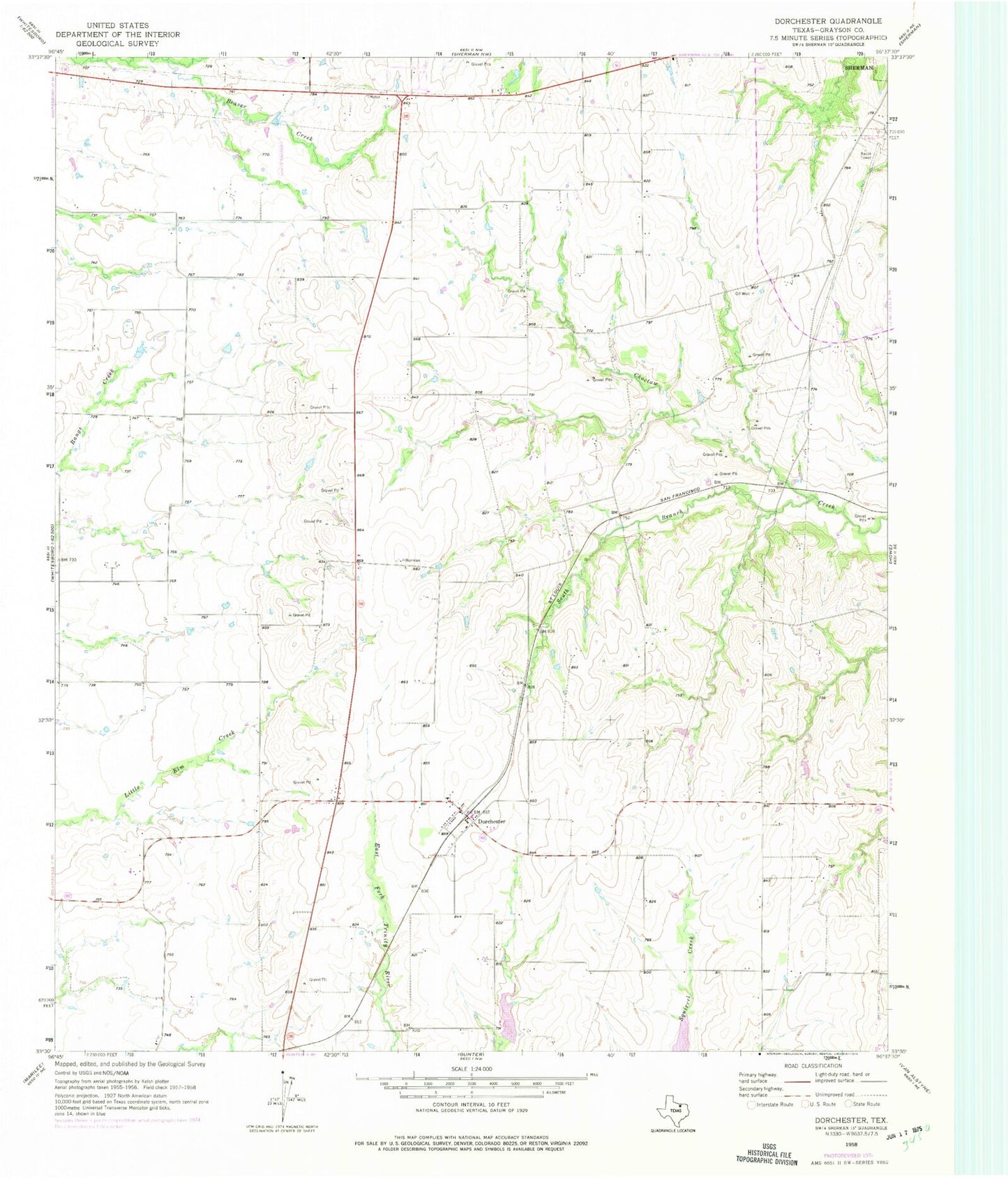
Classic USGS Dorchester Texas 7.5'x7.5' Topo Map
Couldn't load pickup availability
Historical USGS topographic quad map of Dorchester in the state of Texas. Map scale may vary for some years, but is generally around 1:24,000. Print size is approximately 24" x 27"
This quadrangle is in the following counties: Grayson.
The map contains contour lines, roads, rivers, towns, and lakes. Printed on high-quality waterproof paper with UV fade-resistant inks, and shipped rolled.
Contains the following named places: Church of God, City of Dorchester, City of Southmayd, Dorchester, Dorchester City Hall, Herman Baker Park Trail, McKinstry Springs, Mormon Grove, Mormon Grove Cemetery, Mormon Grove Post Office, Soil Conservation Service Site 10a Dam, Soil Conservation Service Site 10a Reservoir, Soil Conservation Service Site 18 Dam, Soil Conservation Service Site 18 Reservoir, South Branch Choctaw Creek, Sperry, TXAerosport Aerodrome, ZIP Code: 75459