MyTopo
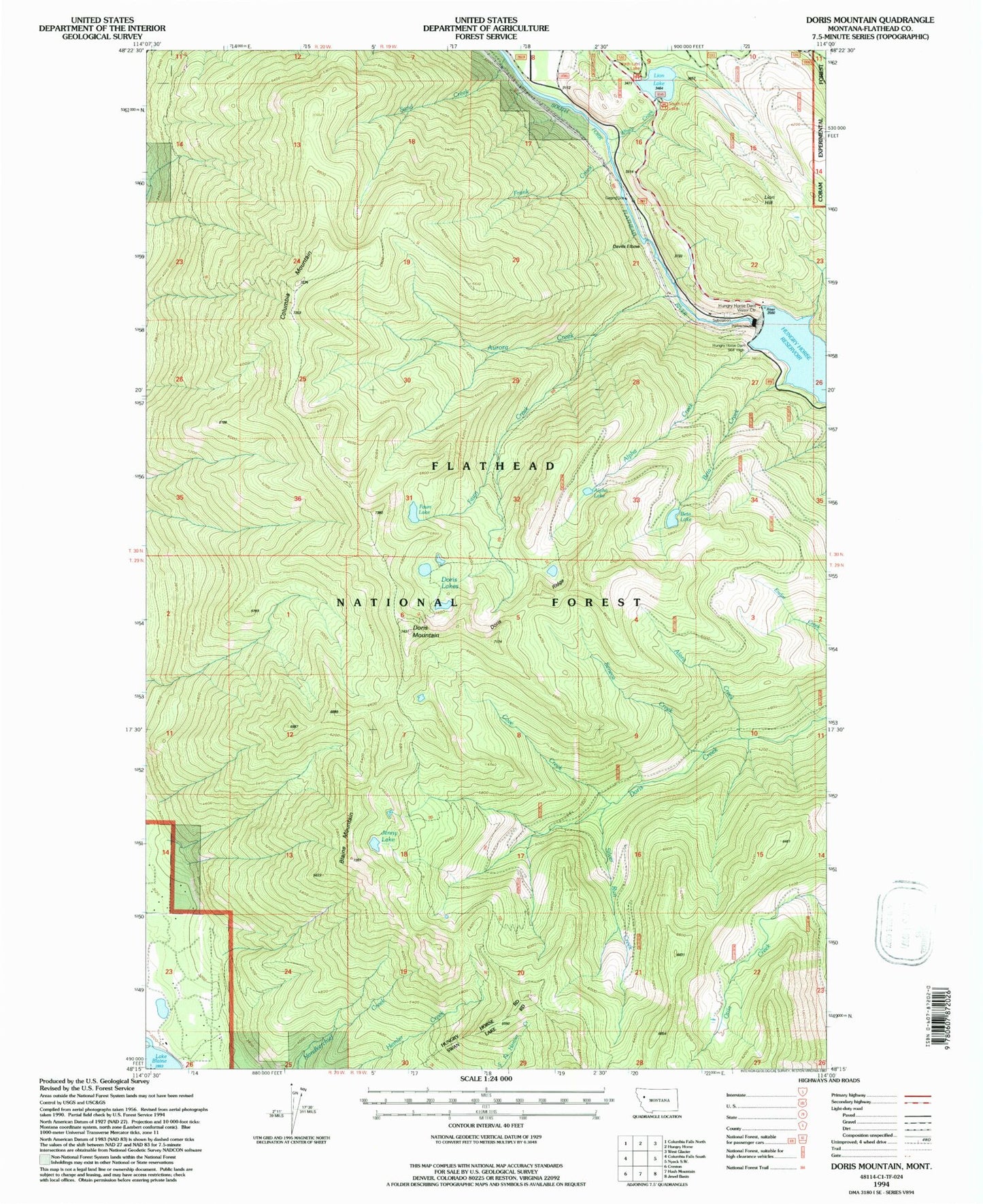
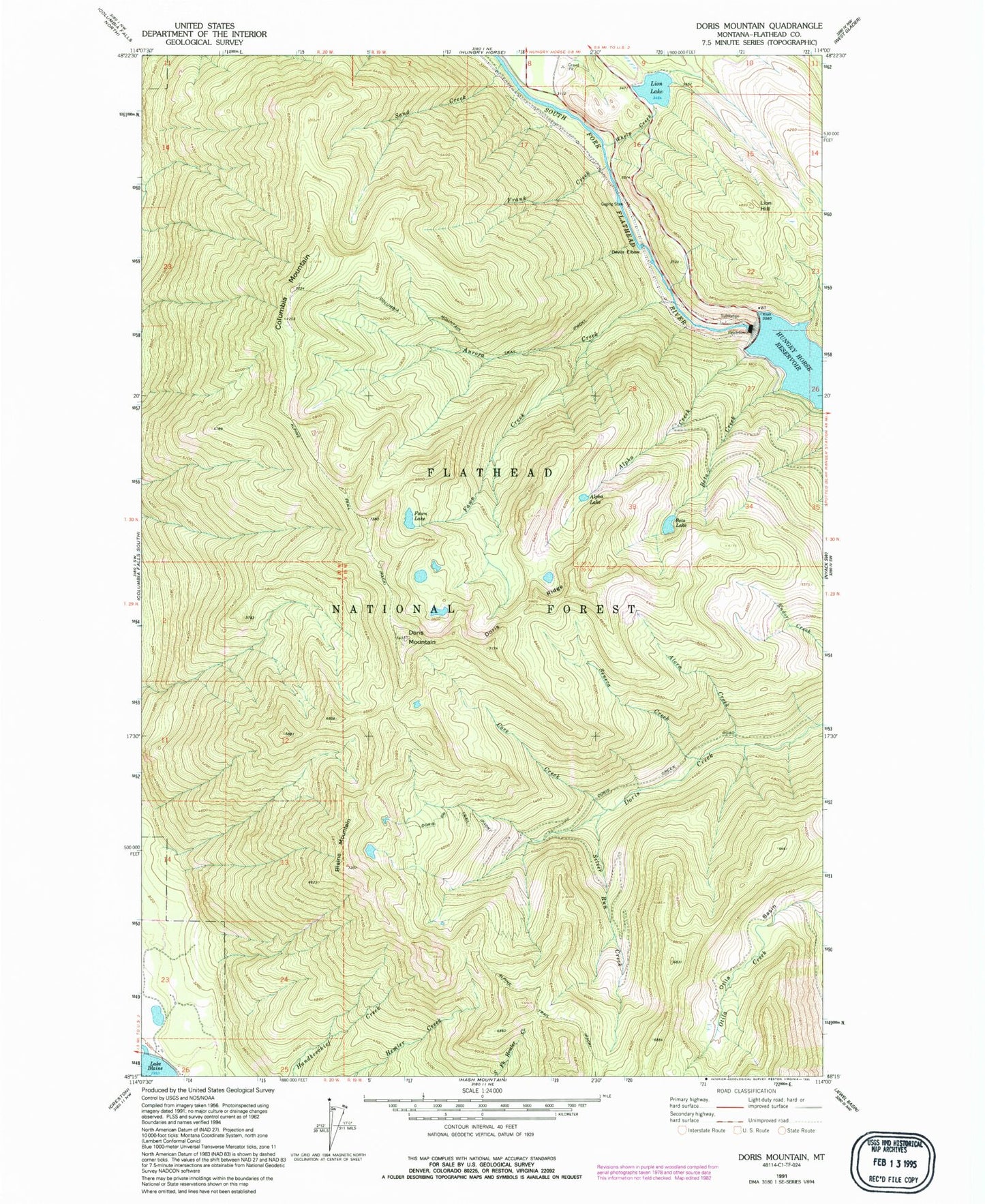
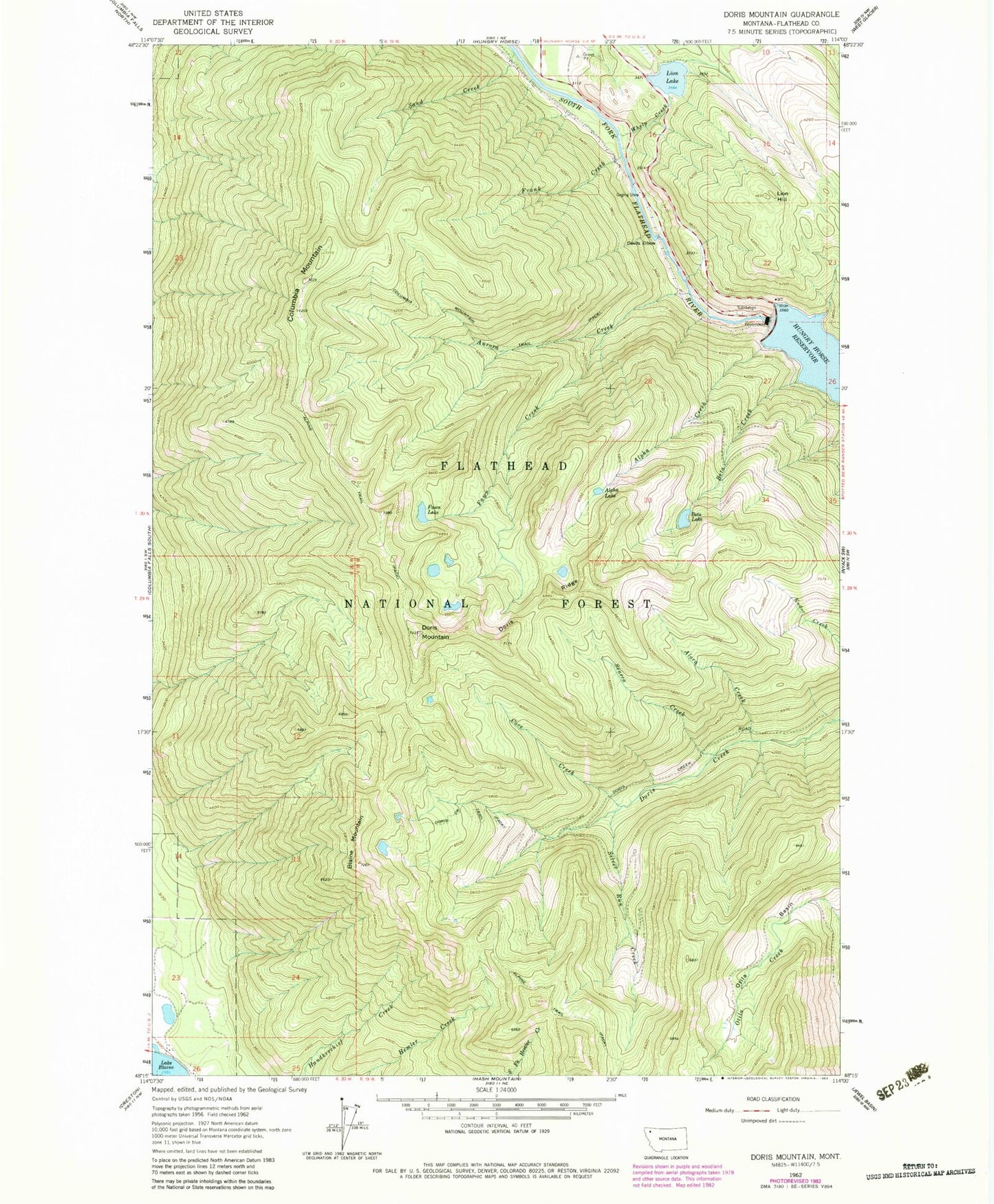
Classic USGS Doris Mountain Montana 7.5'x7.5' Topo Map
Couldn't load pickup availability
Historical USGS topographic quad map of Doris Mountain in the state of Montana. Map scale may vary for some years, but is generally around 1:24,000. Print size is approximately 24" x 27"
This quadrangle is in the following counties: Flathead.
The map contains contour lines, roads, rivers, towns, and lakes. Printed on high-quality waterproof paper with UV fade-resistant inks, and shipped rolled.
Contains the following named places: Alora Creek, Alpha Creek, Alpha Lake, Aurora Creek, Beta Creek, Beta Lake, Blaine Mountain, Columbia Mountain, Columbia Mountain Trail, Cove Creek, Devils Elbow, Doris Creek Trail, Doris Lakes, Doris Mountain, Doris Ridge, Fawn Creek, Fawn Lake, Flathead County, Foolsberg Mine, Frank Creek, Hungry Horse Dam, Jenny Lake, Lion Hill, Lion Lake, Lion Lake North Dike Dam, Lion Lake South Dike, North Lion Lake Campground, Otila Basin, Sand Creek, Seneca Creek, Silver Run Creek, South Fork, South Lion Lake Campground, Wagsmith Villa, West Virginia Mine, Whelp Creek


