MyTopo
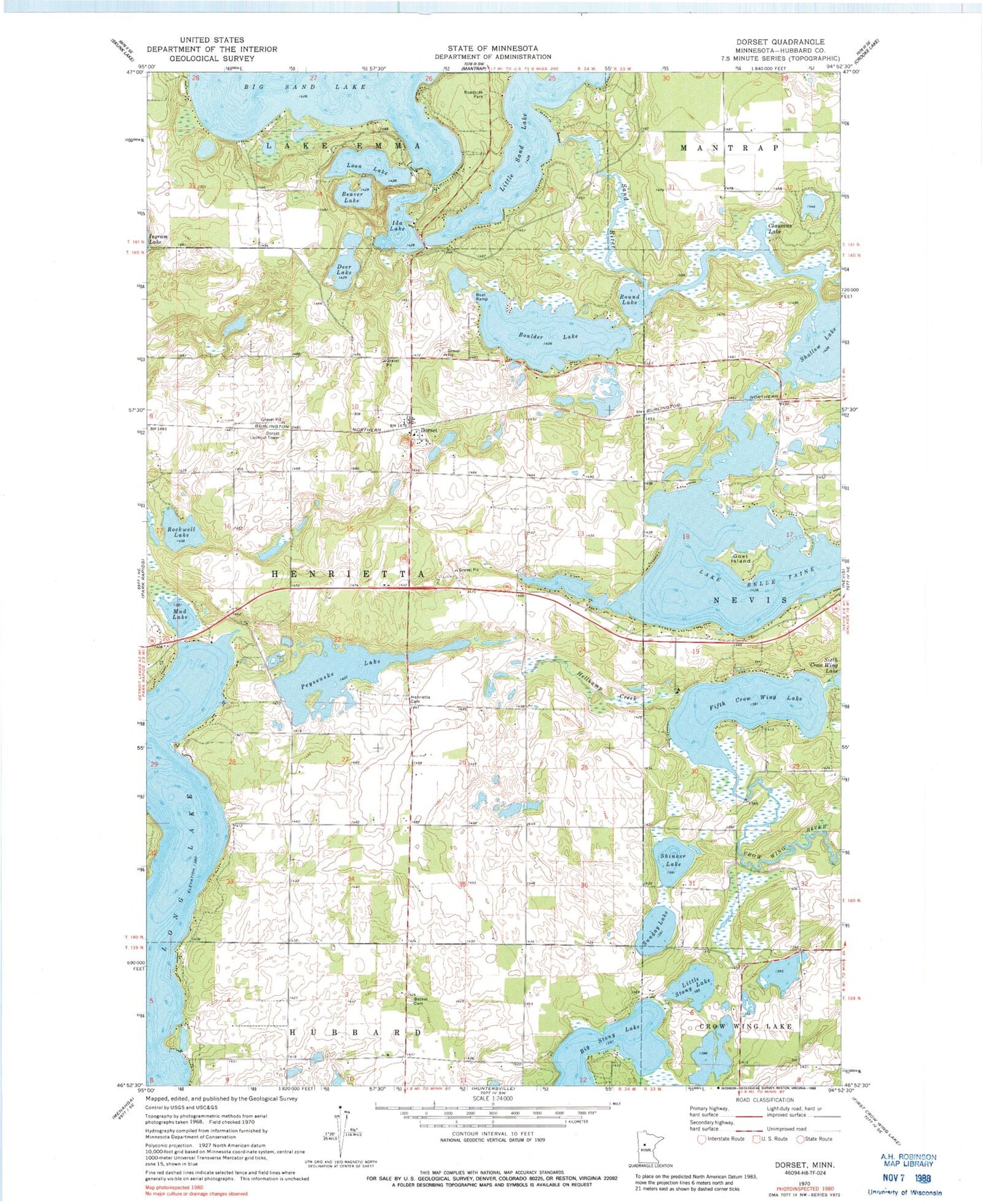
Classic USGS Dorset Minnesota 7.5'x7.5' Topo Map
Couldn't load pickup availability
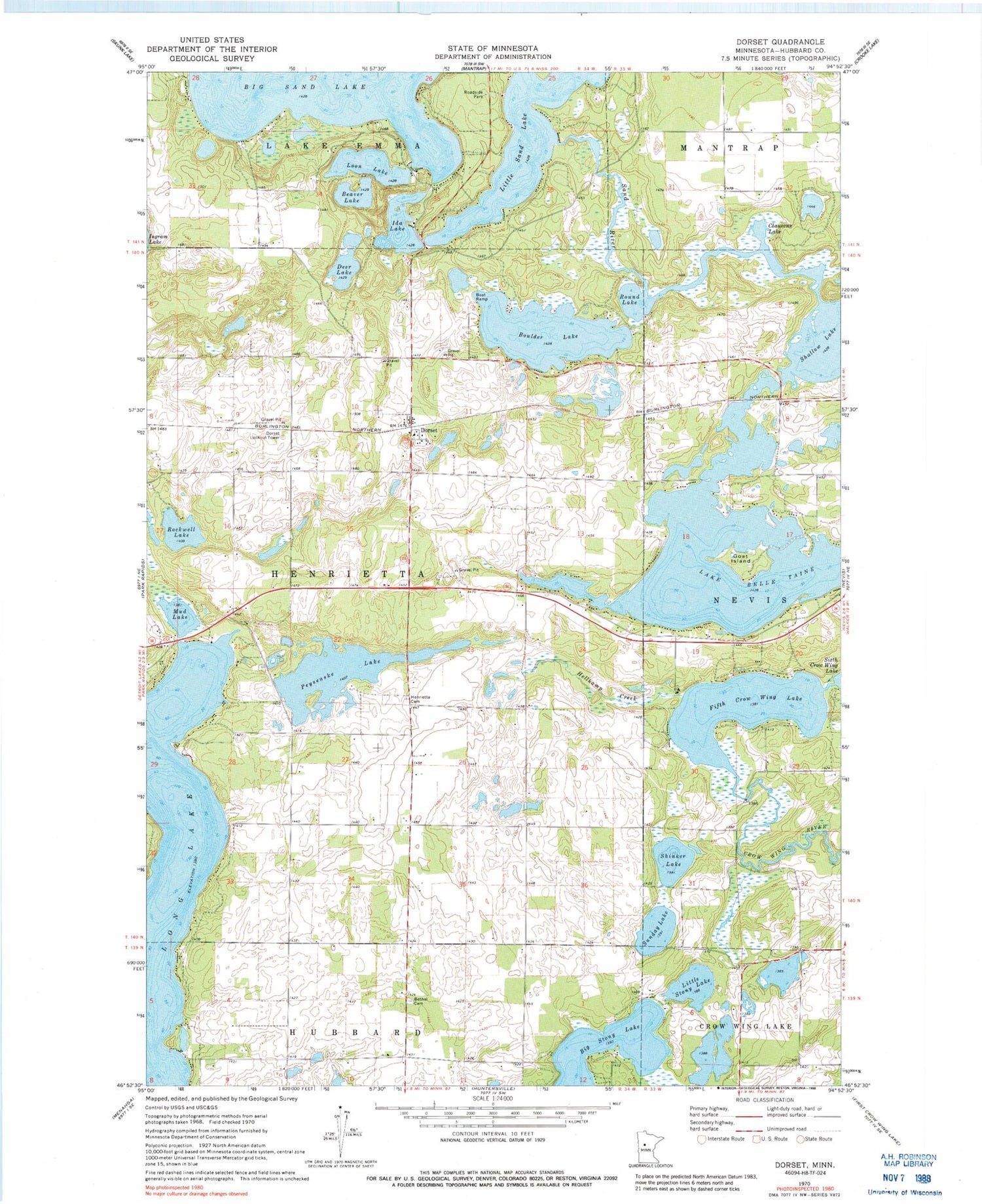
Historical USGS topographic quad map of Dorset in the state of Minnesota. Typical map scale is 1:24,000, but may vary for certain years, if available. Print size: 24" x 27"
This quadrangle is in the following counties: Hubbard.
The map contains contour lines, roads, rivers, towns, and lakes. Printed on high-quality waterproof paper with UV fade-resistant inks, and shipped rolled.
Contains the following named places: Beaver Lake, Bethel Cemetery, Big Stony Lake, Boulder Lake, Clausens Lake, Deer Lake, Dorset, Fifth Crow Wing Lake, Goat Island, Hellkamp Creek, Henrietta Cemetery, Ida Lake, Little Sand Lake, Little Stony Lake, Long Lake, Long Lake, Loon Lake, Mud Lake, Peysenske Lake, Rockwell Lake, Round Lake, Sand River, Shinker Lake, Sunday Lake, Lake Belle Taine, Shallow Lake, Dorset Lookout Tower, Township of Henrietta, Crow Wing Number 5 Lake Dam, Dorset Railroad Station (historical), Dorset Post Office (historical), First English Lutheran Church, Stockade Campground, Bear's Den Golf Course, Evergreen Lodge Golf Course, Gartner Dairy, Pine Manor, Park Rapids Pit


