MyTopo
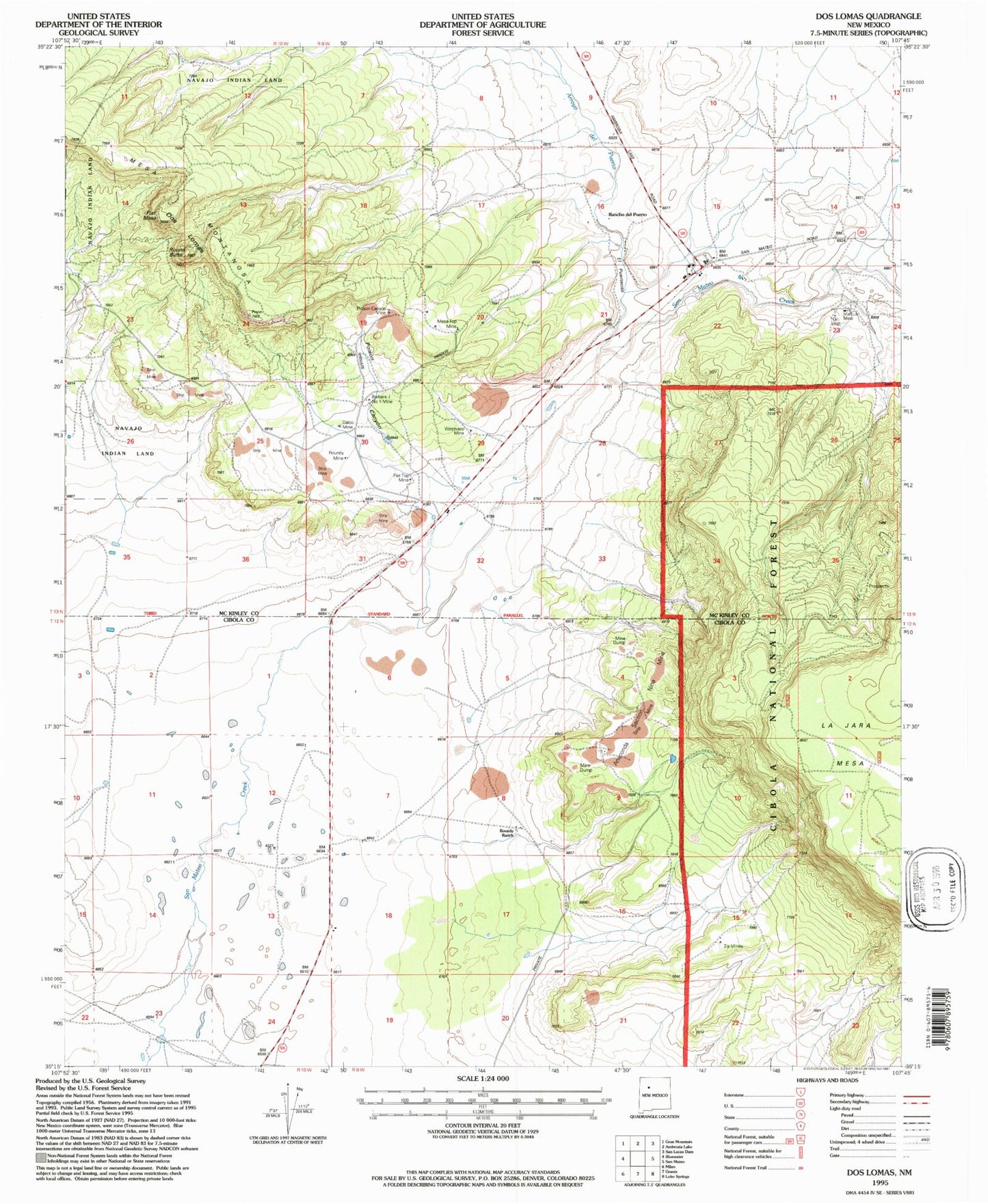
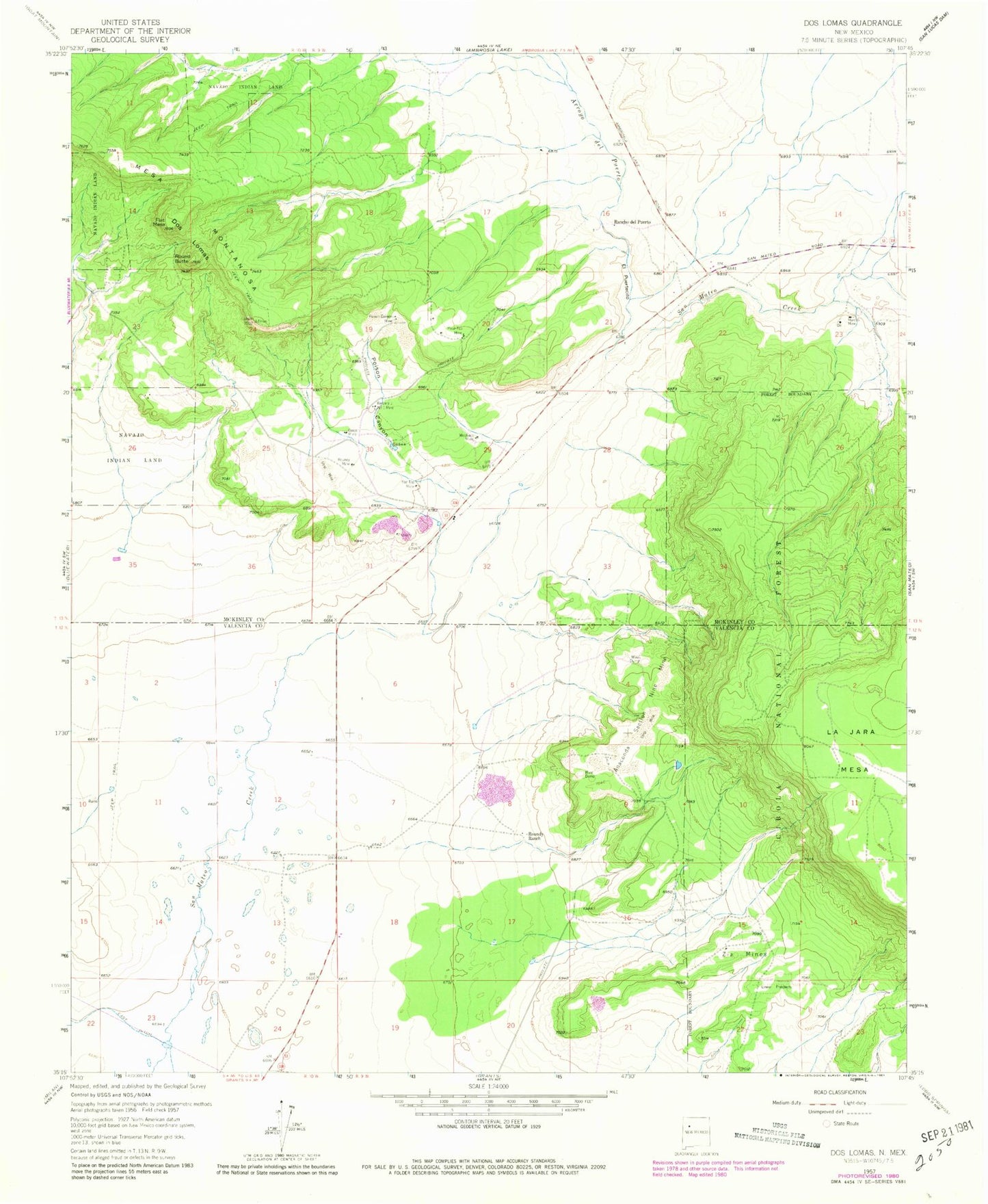
Classic USGS Dos Lomas New Mexico 7.5'x7.5' Topo Map
Couldn't load pickup availability
Historical USGS topographic quad map of Dos Lomas in the state of New Mexico. Map scale may vary for some years, but is generally around 1:24,000. Print size is approximately 24" x 27"
This quadrangle is in the following counties: Cibola, McKinley.
The map contains contour lines, roads, rivers, towns, and lakes. Printed on high-quality waterproof paper with UV fade-resistant inks, and shipped rolled.
Contains the following named places: 10010 Water Well, 10011 Water Well, 10069 Water Well, Anaconda Section Nine Mine, Arroyo del Puerto, Barbara J Number 1 Mine, Black Hawk Mine, Christmas Day Group, Dalco Mine, Dos Lomas, Double Jerry, El Puertecito, Faith Mine, Farris Mine, Flat Mesa, Flat Top Mine, Flea Doris Extension, Flea Mine, Gay Eagle Mine, Golden P Roundy Mine, Gossett, Grants Perlite Mine, Hanosh Mine, Hogan Mine, Holly, Hope Mine, Isabella, June Mine, Kerr McGee Pit 31-13-9, Last Chance Mine, Malpais, Marcus Mine, Marquez Mine, Mesa Top Mine, Mesa Top Seven, Morrow Mine, Poison Canyon, Poison Canyon Mine, Rancho Del Puerto, Round Butte, Roundy Mine, Roundy Ranch, San Mateo Creek, Taffy, Three Jacks Mine, Todilto Mine Number Two, UDC-1, UDC-5, Uran Deposit, Vallejo Mine, Western Section Twenty One Mine, Westvaco Mine, Zia, Zia Mines


