MyTopo
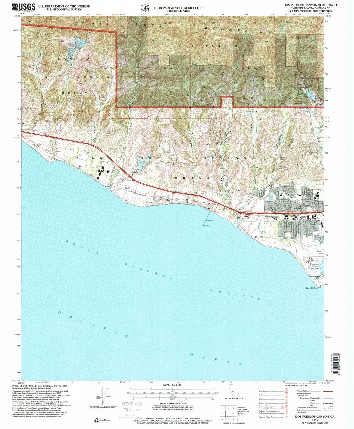
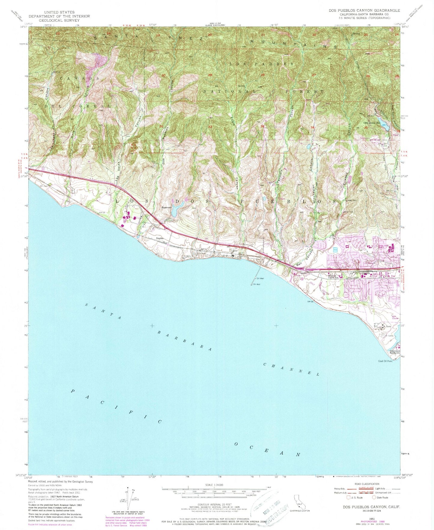
Classic USGS Dos Pueblos Canyon California 7.5'x7.5' Topo Map
Couldn't load pickup availability
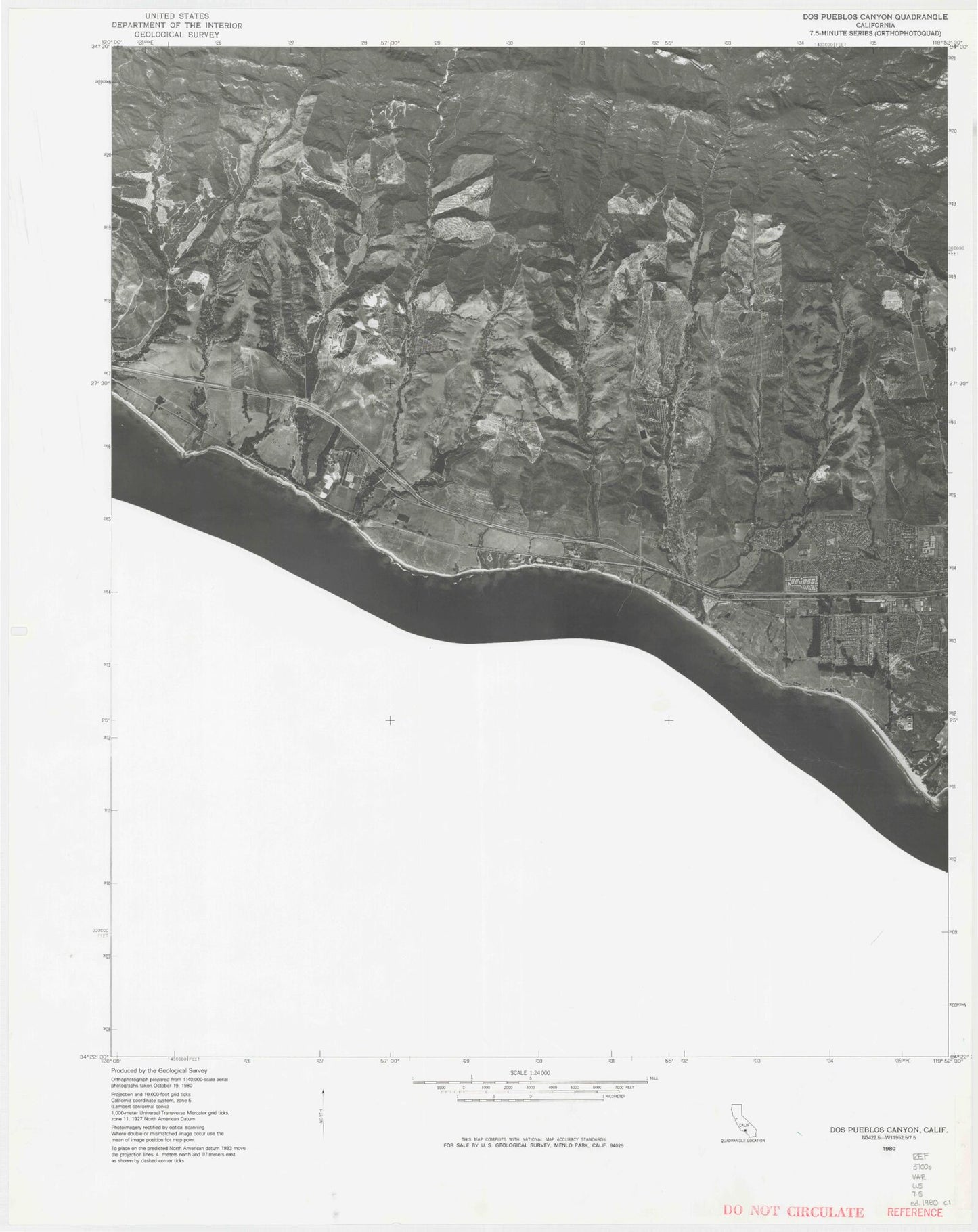
Historical USGS topographic quad map of Dos Pueblos Canyon in the state of California. Map scale may vary for some years, but is generally around 1:24,000. Print size is approximately 24" x 27"
This quadrangle is in the following counties: Santa Barbara.
The map contains contour lines, roads, rivers, towns, and lakes. Printed on high-quality waterproof paper with UV fade-resistant inks, and shipped rolled.
Contains the following named places: Bell Canyon, Bella Vista Park, Brandon Elementary School, Coal Oil Point, Coal Oil Point Reserve, Devereaux Ranch School, Devereux Lagoon, Dos Pueblos 754 Dam, Dos Pueblos Canyon, Dos Pueblos Continuation High School, Dos Pueblos High School, Dos Pueblos Ranch, Doty Pit, Eagle Canyon, El Encano Heights, Ellwood, Ellwood Canyon, Ellwood Elementary School, Ellwood Energy Support Facility, Ellwood Oil Fields, Ellwood Pier, Ellwood Ranch, Elwood Onshore Facility Heliport, Evergreen Park, Gato Canyon, Glen Anne Dam, Glen Anne Reservoir, Glen Annie Reservoir, Las Varas Canyon, Los Dos Pueblos, McCoy Canyon, Naples, Naples Point, Naples Reef, Ocean Meadows Golf Course, Orchams, Padre Shopping Center, Platform Holly Heliport, Sandpiper Golf Course, Santa Barbara Montessori School, Tecolote Canyon, The Waldorf School of Santa Barbara, University Plaza Shopping Center, West Fork Glen Annie Canyon, Winchester Canyon