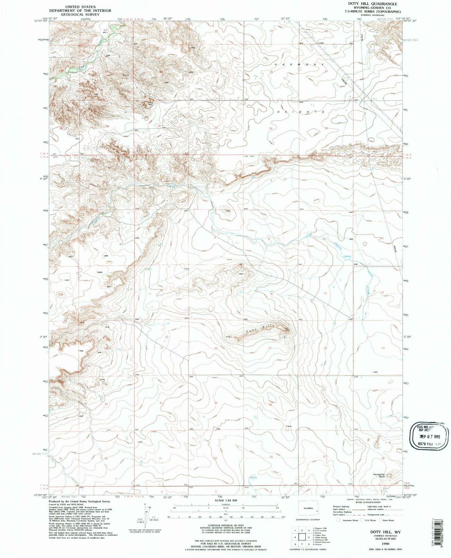
MyTopo
Classic USGS Doty Hill Wyoming 7.5'x7.5' Topo Map
Regular price
$16.95
Regular price
Sale price
$16.95
Unit price
per
Couldn't load pickup availability
Historical USGS topographic quad map of Doty Hill in the state of Wyoming. Map scale may vary for some years, but is generally around 1:24,000. Print size is approximately 24" x 27"
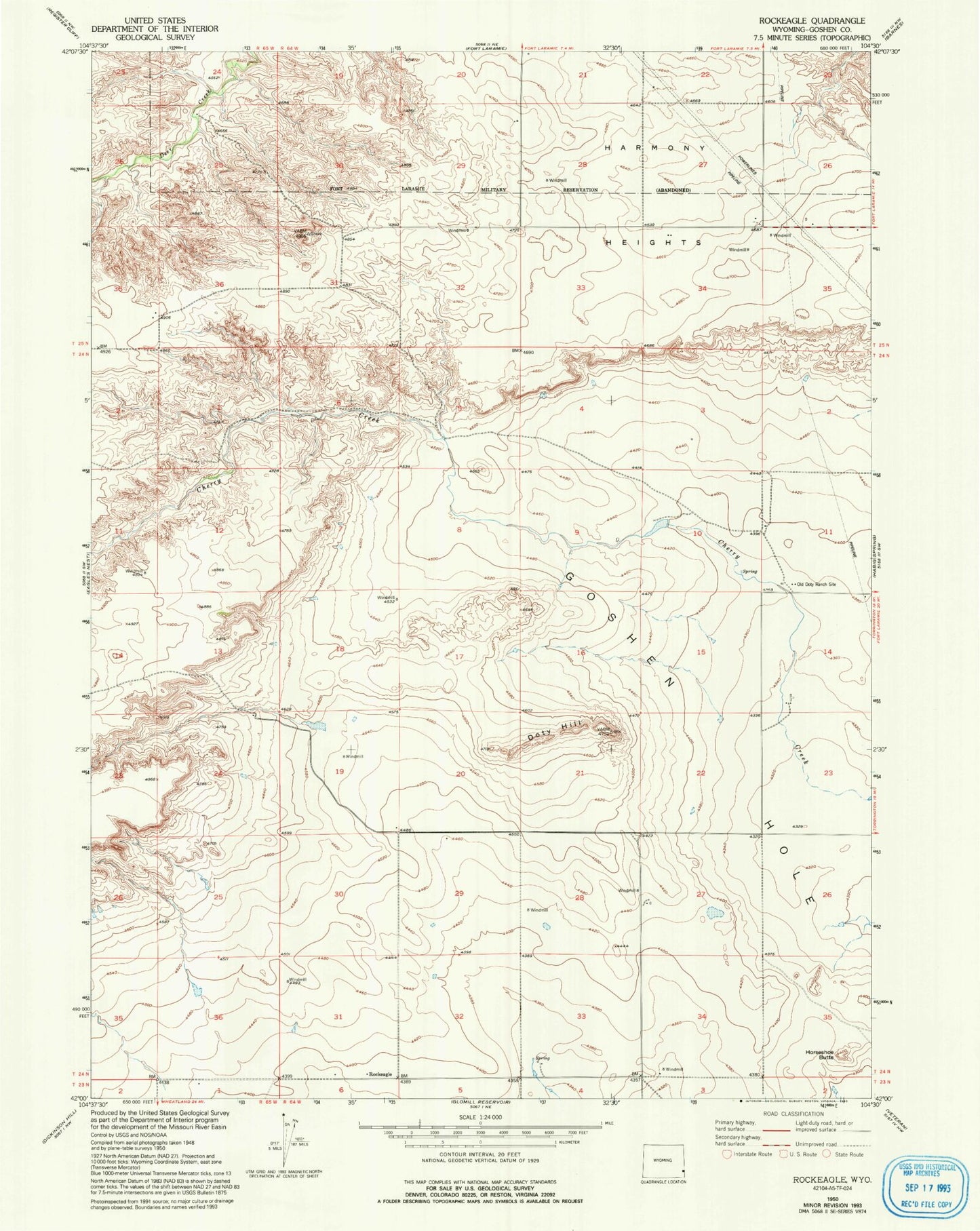
This quadrangle is in the following counties: Goshen.
The map contains contour lines, roads, rivers, towns, and lakes. Printed on high-quality waterproof paper with UV fade-resistant inks, and shipped rolled.
Contains the following named places: Doty Hill, Goshen Hole, Harmony Heights, Horseshoe Butte, Long Gulch Dam, Long Gulch Reservoir, Old Doty Ranch Site, Rockeagle