MyTopo
Classic USGS Double Lakes Texas 7.5'x7.5' Topo Map
Couldn't load pickup availability
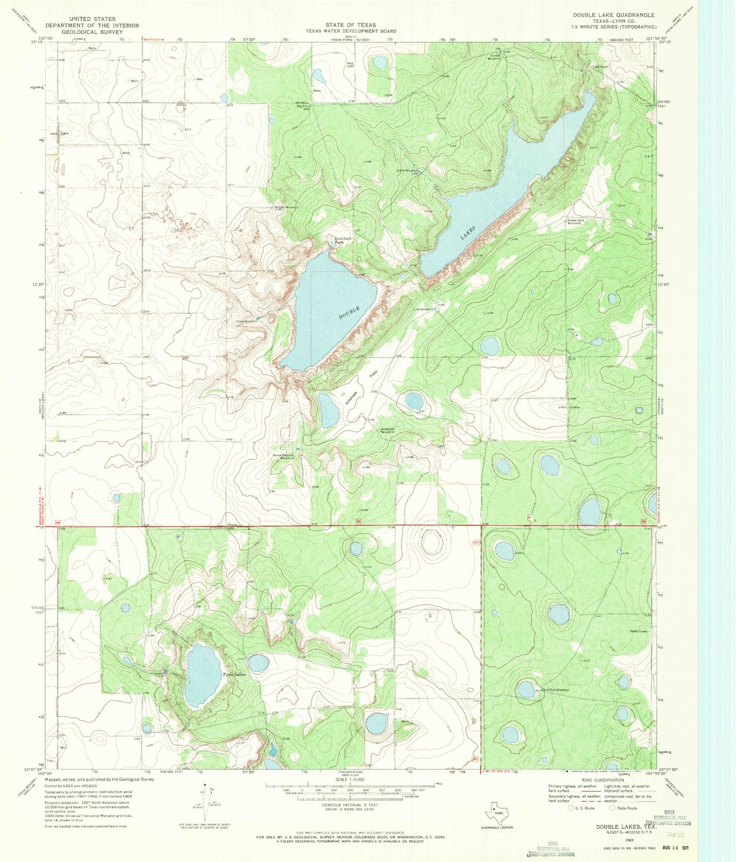
Historical USGS topographic quad map of Double Lakes in the state of Texas. Map scale may vary for some years, but is generally around 1:24,000. Print size is approximately 24" x 27"
This quadrangle is in the following counties: Lynn.
The map contains contour lines, roads, rivers, towns, and lakes. Printed on high-quality waterproof paper with UV fade-resistant inks, and shipped rolled.
Contains the following named places: Antelope Flats, Antelope Windmill, Big Four Well, Crow Windmill, Crows Nest Windmill, Double Lakes, Eureka Windmill, High Lonesome Windmill, Horse Pasture Windmill, KLSC-FM (Lamesa), Line Windmill, Little Gyp Windmill, Little Windmill, Middle Windmill, Stud Duck Tank, T Bar Ranch, Twin Lakes