MyTopo
Classic USGS Double Mountain SE Nevada 7.5'x7.5' Topo Map
Regular price
$16.95
Regular price
Sale price
$16.95
Unit price
per
Couldn't load pickup availability
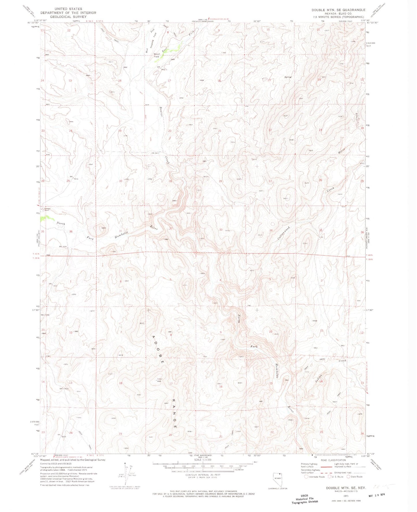
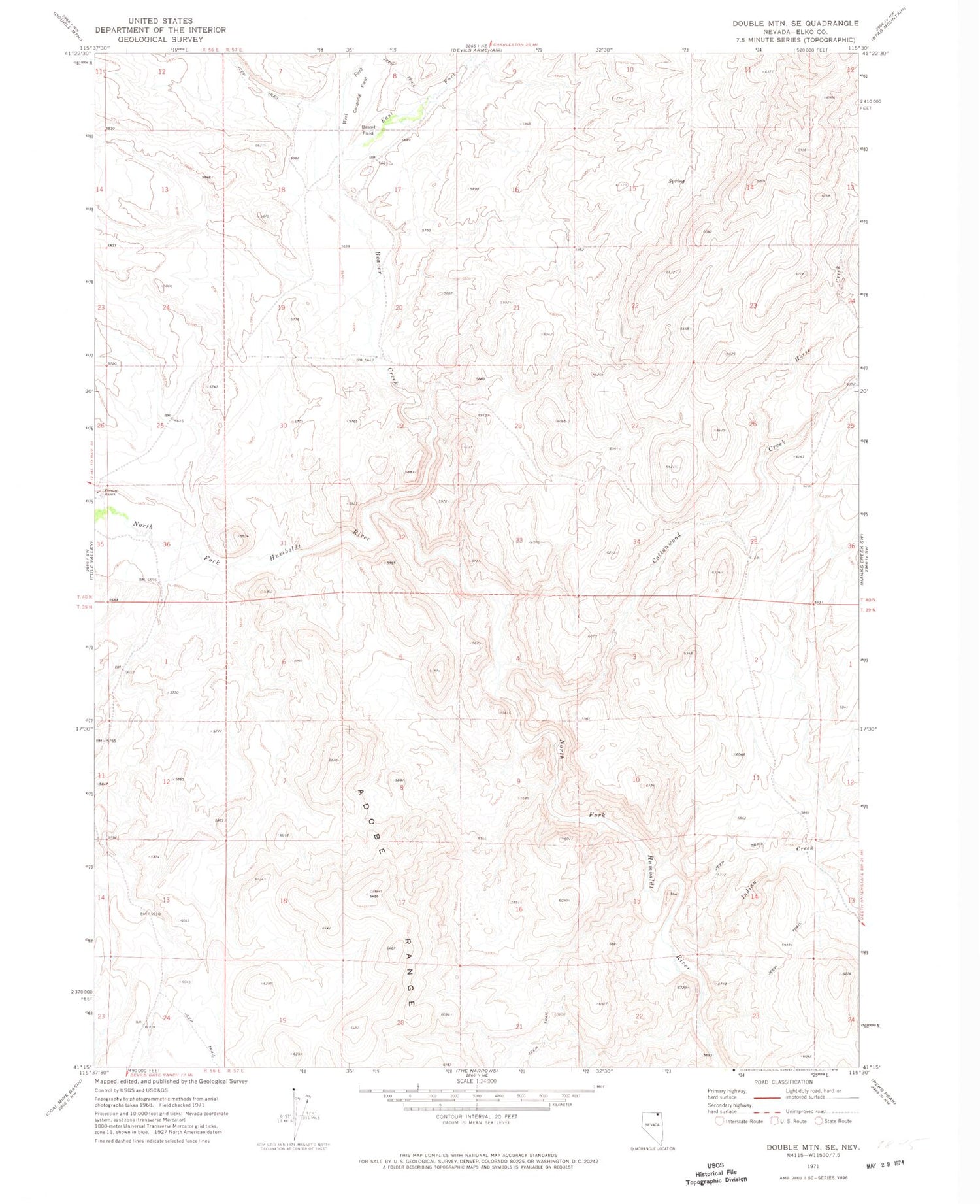
Historical USGS topographic quad map of Double Mountain SE in the state of Nevada. Map scale may vary for some years, but is generally around 1:24,000. Print size is approximately 24" x 27"
This quadrangle is in the following counties: Elko.
The map contains contour lines, roads, rivers, towns, and lakes. Printed on high-quality waterproof paper with UV fade-resistant inks, and shipped rolled.
Contains the following named places: Bassit Field, Beaver, Beaver Creek, Bone Valley, Cottonwood Creek, Coupling Field, East Fork Beaver Creek, H Moffat Company Ranch, Horse Creek, Indian Creek, Warm Springs, West Fork Beaver Creek, Willow Spring