MyTopo
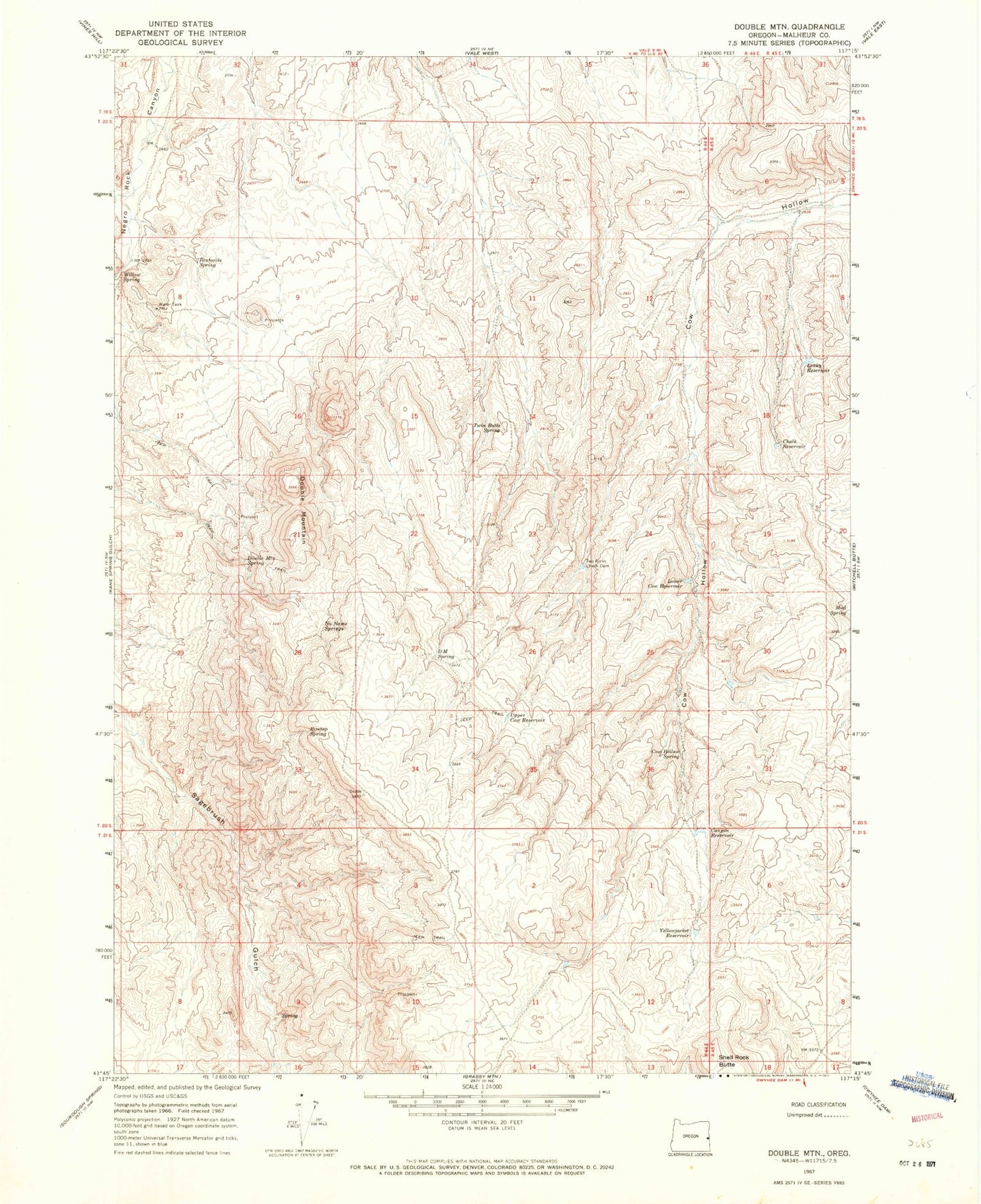
Classic USGS Double Mountain Oregon 7.5'x7.5' Topo Map
Couldn't load pickup availability
Historical USGS topographic quad map of Double Mountain in the state of Oregon. Map scale may vary for some years, but is generally around 1:24,000. Print size is approximately 24" x 27"
This quadrangle is in the following counties: Malheur.
The map contains contour lines, roads, rivers, towns, and lakes. Printed on high-quality waterproof paper with UV fade-resistant inks, and shipped rolled.
Contains the following named places: Bentonite Spring, Canyon Reservoir, Chalk Reservoir, Cow Hollow Spring, D M Spring, Double Mount Spring, Double Mountain, Leaky Reservoir, Lower Cow Reservoir, Mud Spring, No Name Springs, Rimtop Spring, Shell Rock Butte, Twin Butte Spring, Two Forks Check Dam, Upper Cow Reservoir, Yellowjacket Reservoir