MyTopo
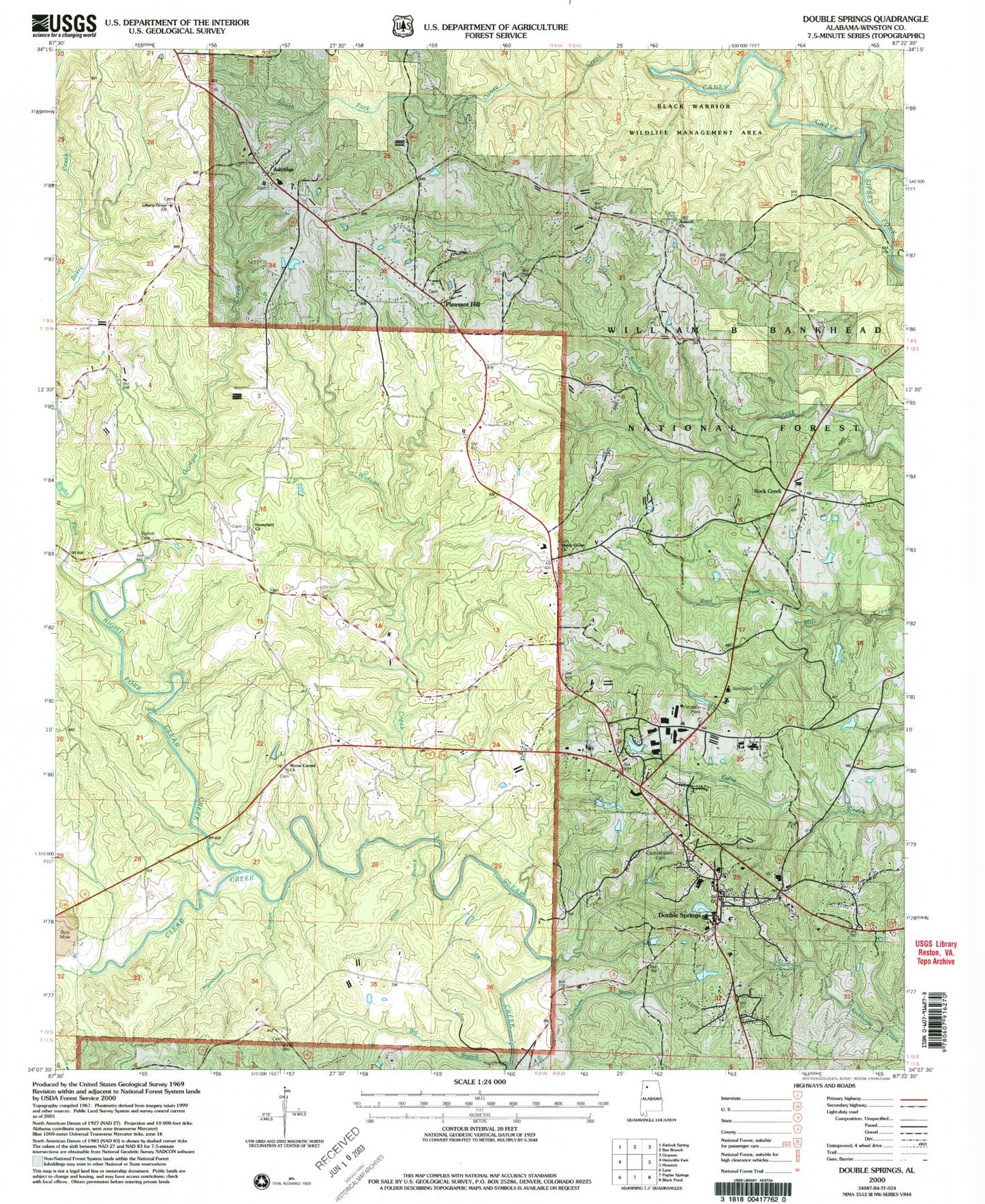
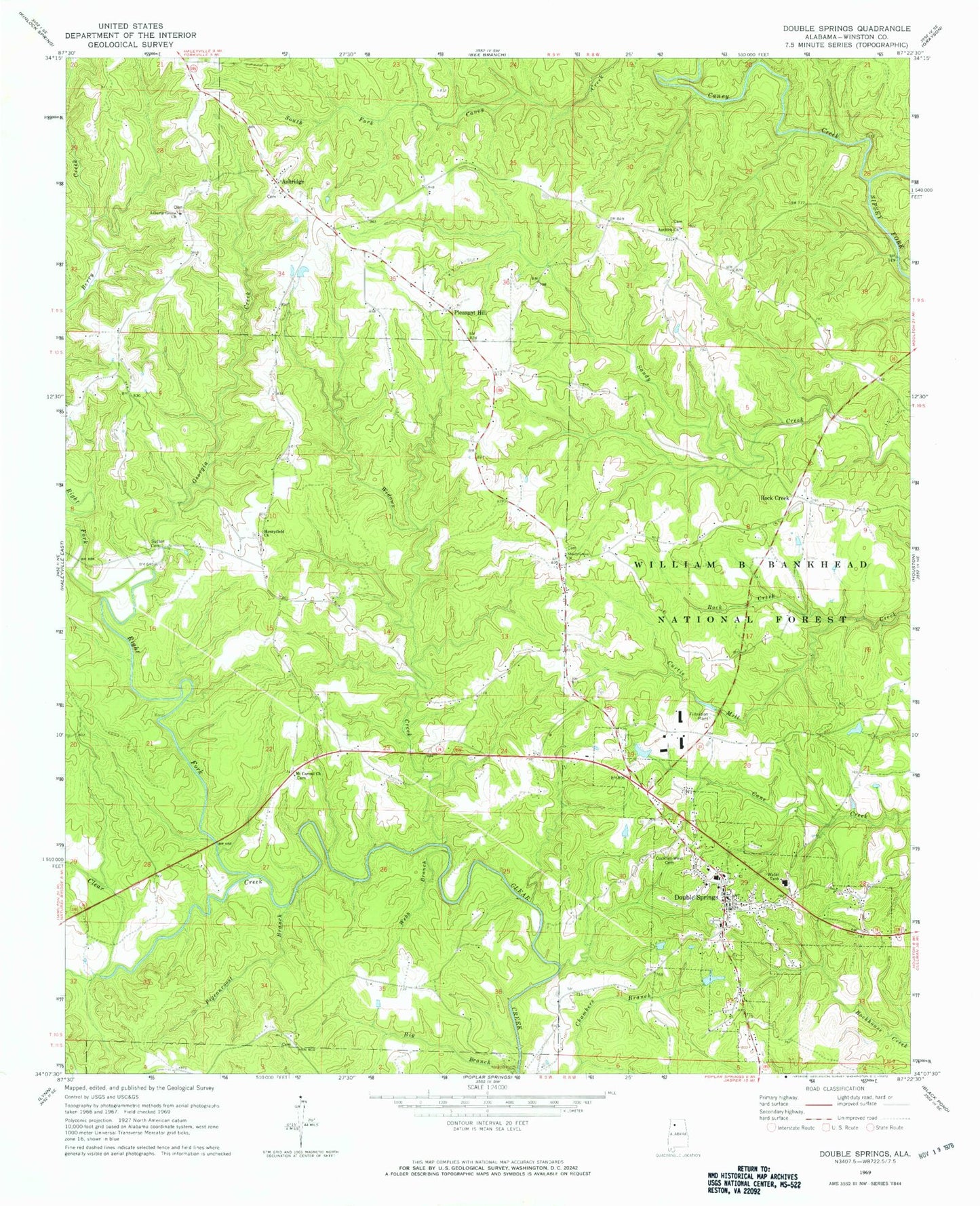
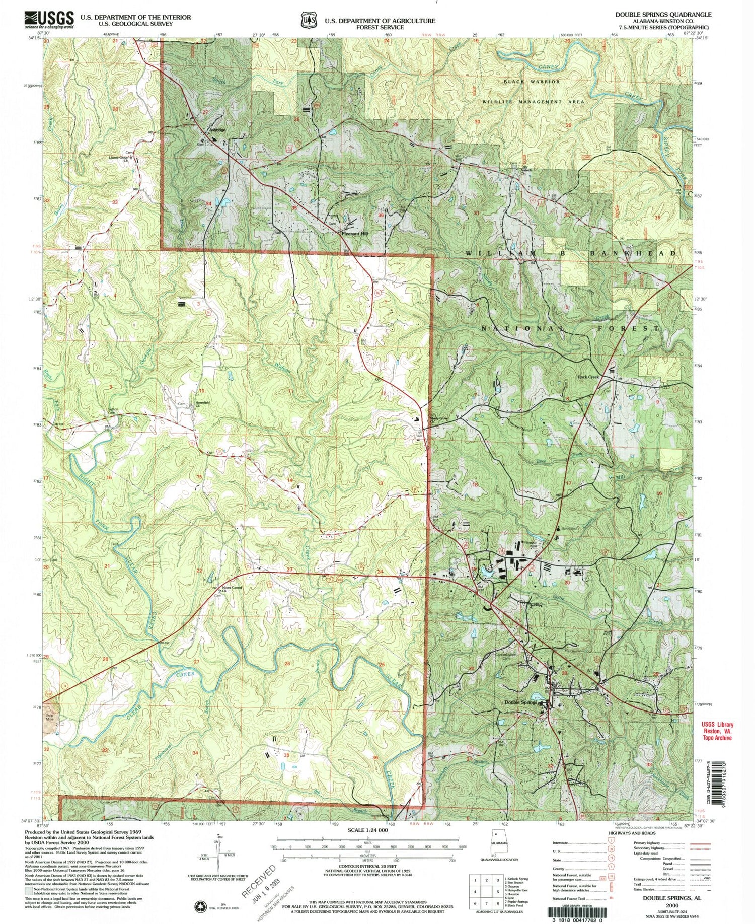
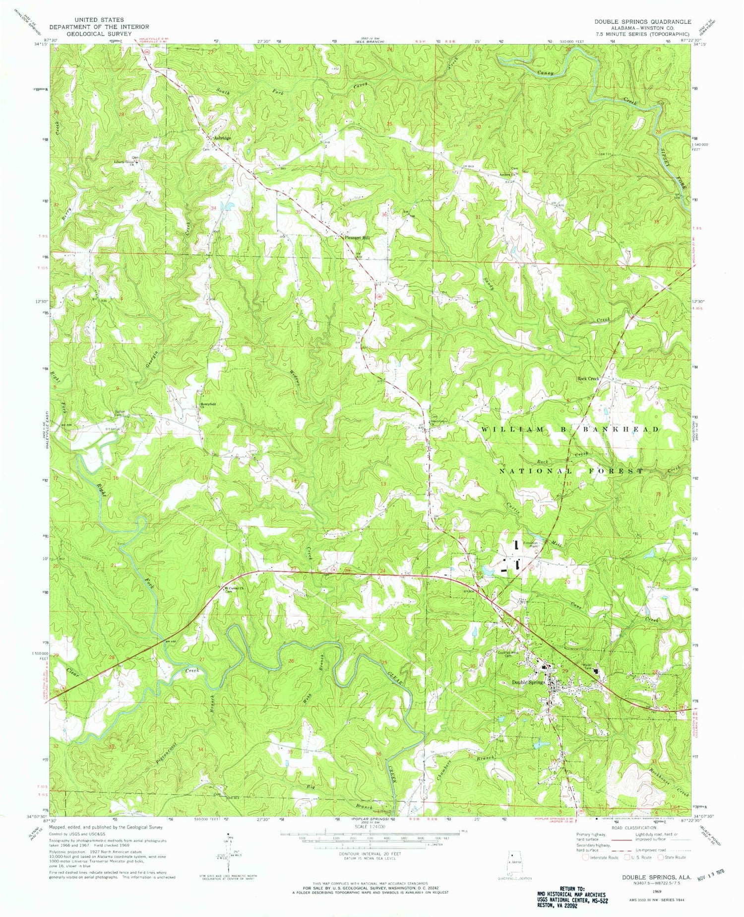
Classic USGS Double Springs Alabama 7.5'x7.5' Topo Map
Couldn't load pickup availability
Historical USGS topographic quad map of Double Springs in the state of Alabama. Map scale may vary for some years, but is generally around 1:24,000. Print size is approximately 24" x 27"
This quadrangle is in the following counties: Winston.
The map contains contour lines, roads, rivers, towns, and lakes. Printed on high-quality waterproof paper with UV fade-resistant inks, and shipped rolled.
Contains the following named places: Amos Post Office, Amos School, Antioch Baptist Church, Antioch Baptist Church of Christ Cemetery, Ashridge, Ashridge Cemetery, Ashridge Methodist Church Cemetery, Ashridge Post Office, Ashridge United Methodist Church, Ashridge Volunteer Fire Department, Bailey Ford, Bankhead District Ranger Office, Big Branch, Blooming Youth Cemetery, Blue Springs, Blue Springs School, Bonds Lake, Bonds Lake Dam, Bull Gulf, Cagles Mill, Caney Creek, Cornelius Cemetery, County Barn, Double Springs, Double Springs Division, Double Springs Elementary School, Double Springs Fire Department, Double Springs Memorial Cemetery, Double Springs Middle School, Double Springs Post Office, Eskridge Lake, Eskridge Lake Dam, Georgia Creek, Gray, Haricon, Henry-Field Church, Henryfield First Congregational Methodist Church Cemetery, Hicks School, Lake Galoria, Lake Galoria Dam, Lakeman School, Liberty Church, Liberty Grove Missionary Baptist Church, Liberty Grove Missionary Baptist Church Cemetery, Liberty School, Little Clear Creek, Low Pressure Bridge, Mount Carmel Baptist Church, Mount Carmel Baptist Church Cemetery, Pigeon Roost, Pigeon Roost Branch, Pleasant Hill, Pleasant Hill Number 2 Missionary Baptist Church Cemetery, Pleasant Hill Number Two Missionary Baptist Church, Pleasant Hill School, Right Fork Clear Creek, Rock Creek, Rock Creek Baptist Church Cemetery, Rock Creek Cemetery, Rock Creek Church, Rock Creek School, Seth Young Mill, Shady Grove Church, Shady Grove Church Cemetery, Sutton Cemetery, Sweetwater Canyon, Sweetwater Creek, Town of Double Springs, Webb Branch, Welbornville, Whatley Cemetery, Widows Creek, Wilburn Chapel, Wilson Cemetery, Winston County High School, Winston County Sheriff's Office, Winston County Technical Center, ZIP Code: 35553


