MyTopo
Classic USGS Douglas Wyoming 7.5'x7.5' Topo Map
Couldn't load pickup availability
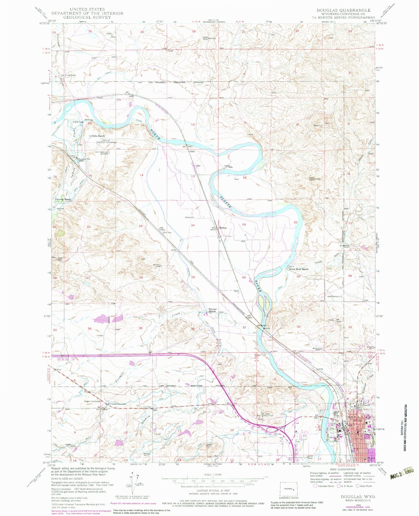
Historical USGS topographic quad map of Douglas in the state of Wyoming. Map scale may vary for some years, but is generally around 1:24,000. Print size is approximately 24" x 27"
This quadrangle is in the following counties: Converse.
The map contains contour lines, roads, rivers, towns, and lakes. Printed on high-quality waterproof paper with UV fade-resistant inks, and shipped rolled.
Contains the following named places: Albert Sims Fee Land Mine, Anderson Pit, Antelope Creek, Bill Hooker Monument, Bozeman Trail Marker, Camp Douglas POWs Cemetery, Carmen Pit, City of Douglas, Converse County Airport, Converse County Ambulance, Converse County Sheriff's Office, Douglas, Douglas Cemetery, Douglas Fishing Lake Number 1, Douglas Fishing Lake Number 1 Dam, Douglas High School, Douglas Intermediate School, Douglas Middle School, Douglas Police Department, Douglas Post Office, Douglas Primary School, Douglas Volunteer Fire Department, Dry Creek School, East Antelope Creek, Fetterman Creek, Fivemile Creek, Fleming Ranch, Fort Fetterman Cemetery, Fort Fetterman Pit, Gibbs Ranch, Harvey Gulch, KWIV-AM (Douglas), La Prele Creek, Lisco Pit, McComb Retirement Center, Memorial Hospital of Converse County, Michael Manor Health Care Center, Miner Sand and Gravel Pit, Morton, Morton Ditch, Moss Agate School, Nachtman School, Pioneer Cemetery, Recluse Pit, River Bend Ranch, Shawnee School, Site of Hog Ranch, Site of Old Fort Fetterman, Sixmile Creek, Underwood Airport, Wagonhound School, Warner Dam, Warner Number 2 Dam, Warner Ranch, Warner Reservoir, Warner Reservoir Number 2, Washington Park, White School, Wintermote Pit