MyTopo
Classic USGS Douglass Kansas 7.5'x7.5' Topo Map
Couldn't load pickup availability
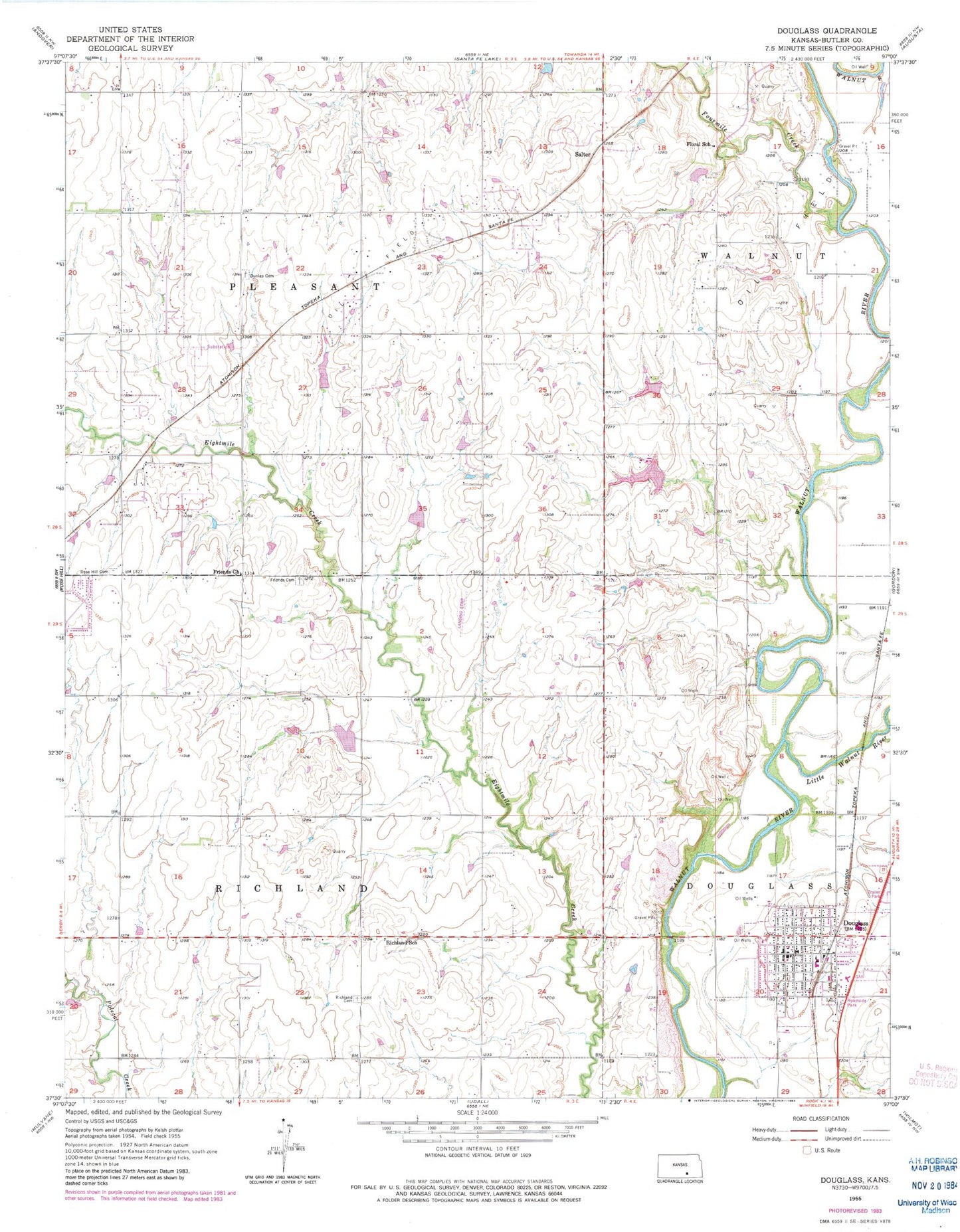
Historical USGS topographic quad map of Douglass in the state of Kansas. Map scale may vary for some years, but is generally around 1:24,000. Print size is approximately 24" x 27"
This quadrangle is in the following counties: Butler.
The map contains contour lines, roads, rivers, towns, and lakes. Printed on high-quality waterproof paper with UV fade-resistant inks, and shipped rolled.
Contains the following named places: Aral, Butler Airpark, Butler County Fire District 3 Station 2, Butler County Fire District 8 - Douglass, Church of Christ, City of Douglass, Douglas City Hall, Douglas Elementary School, Douglas United Methodist Church, Douglas Wastewater Treatment Facility, Douglass, Douglass High School, Douglass Historical Museum, Douglass Post Office, Douglass Public Library, Douglass Senior Center, Douglass United School District 396 Police Department, Dunlap Cemetery, First Baptist Church, First Christian Church, Floral School, Flying H Ranch Airport, Fourmile Creek, Friends Cemetery, Leonard C. Seal Elementary School, Little Walnut River, Marvin Sisk Middle School, Richland Cemetery, Richland School, Rose Hill Cemetery, Rose Hill Friends Church, Rose Hill Wastewater Treatment Facility, Salter, Sunset 77 Mobile Home Park, Township of Pleasant, Township of Richland, ZIP Code: 67133