MyTopo
Classic USGS Douty Canyon Washington 7.5'x7.5' Topo Map
Regular price
$16.95
Regular price
Sale price
$16.95
Unit price
per
Couldn't load pickup availability
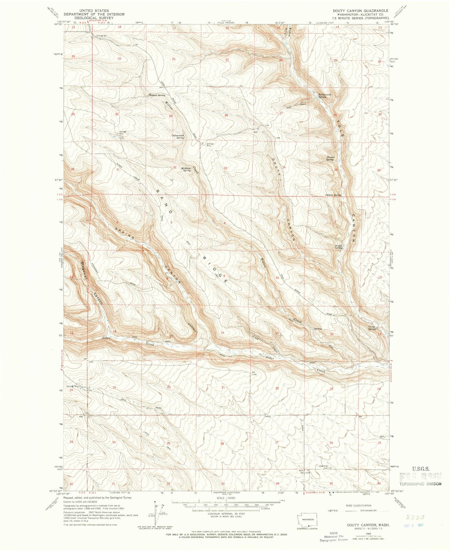
Historical USGS topographic quad map of Douty Canyon in the state of Washington. Map scale may vary for some years, but is generally around 1:24,000. Print size is approximately 24" x 27"
This quadrangle is in the following counties: Klickitat.
The map contains contour lines, roads, rivers, towns, and lakes. Printed on high-quality waterproof paper with UV fade-resistant inks, and shipped rolled.
Contains the following named places: Camp Spring, Cottonwood Spring, Dinner Spring, Douty Canyon, Grubel Spring, Haggey Spring, McBride Spring, Pothole Spring, Rattlesnake Spring, Sixprong Cemetery, Spring Canyon, Stegeman Canyon, Tule Prong, Willow Creek