MyTopo
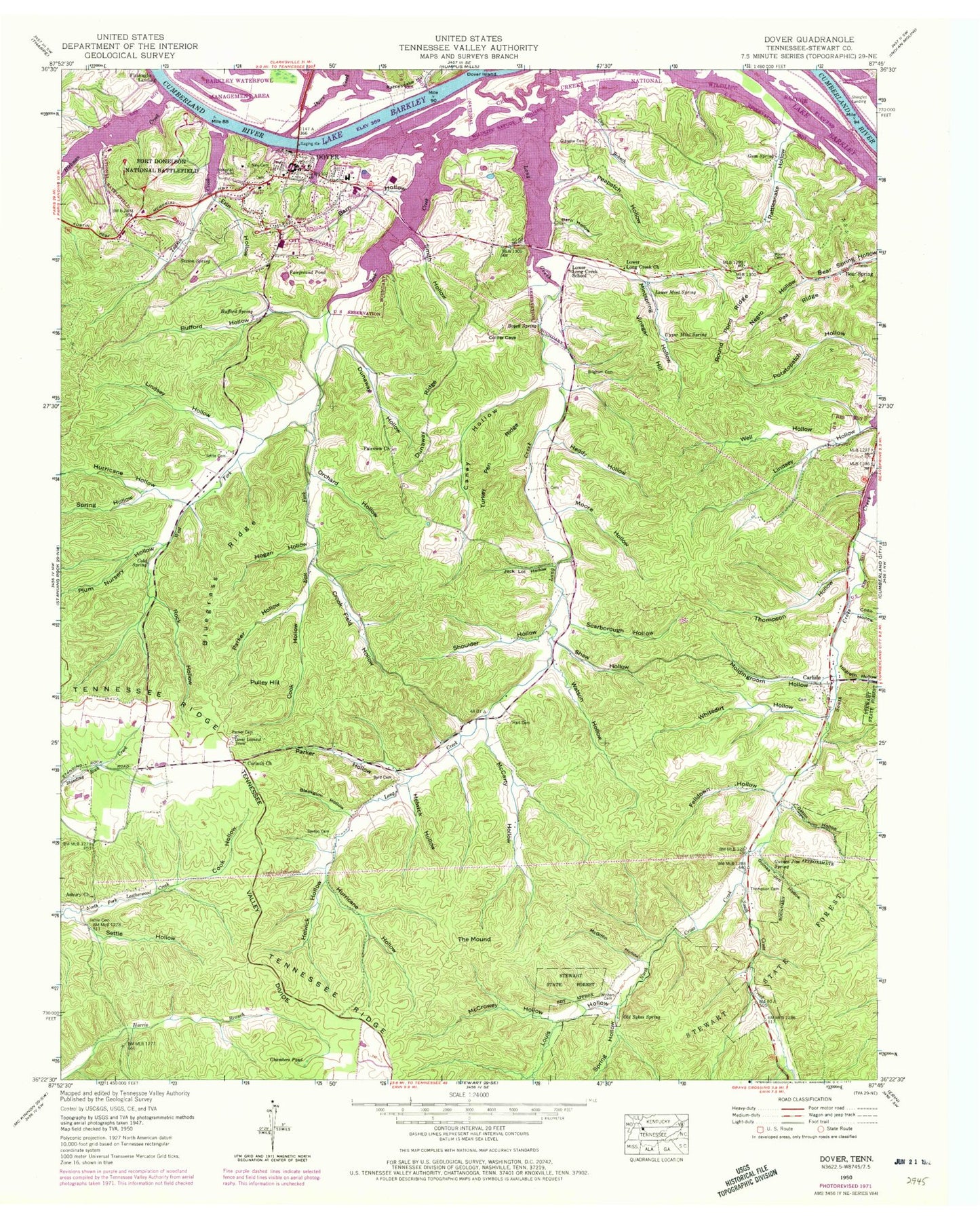
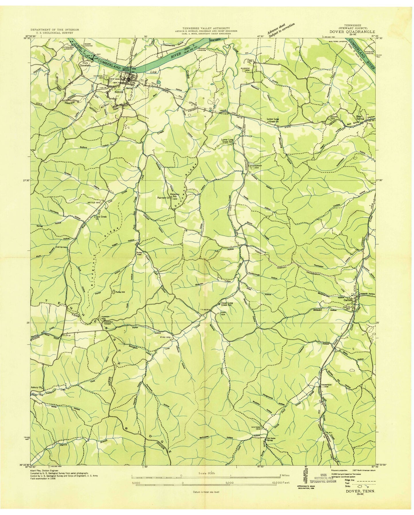
Classic USGS Dover Tennessee 7.5'x7.5' Topo Map
Couldn't load pickup availability
Historical USGS topographic quad map of Dover in the state of Tennessee. Typical map scale is 1:24,000, but may vary for certain years, if available. Print size: 24" x 27"
This quadrangle is in the following counties: Stewart.
The map contains contour lines, roads, rivers, towns, and lakes. Printed on high-quality waterproof paper with UV fade-resistant inks, and shipped rolled.
Contains the following named places: Shaw Hollow, Shoulder Hollow, Smith Hollow, Spring Hollow, Spring Hollow, Stewart State Forest, The Mound, Thompson Cemetery, Thompson Hollow, Turkey Pen Ridge, Upper Mint Spring, Vinegar Hill, Watson Hollow, Well Hollow, West Fork Lick Creek, Whitedirt Hollow, Winters Cemetery, Asbury Church, Barn Hollow, Blackgum Hollow, Bluegrass Ridge, Boyett Spring, Bufford Hollow, Byrd Cemetery, Caney Hollow, Carlisle, Chambers Pond, Cold Spring, Cook Hollow, Cook Hollow, Crook Field Hollow, Cross Creek, Dover, Dry Branch, Dunaway Hollow, Dunaway Ridge, East Fork Lick Creek, Erin Hollow, Fairground Pond, Felldown Hollow, Fort Donelson National Battlefield, Gatin Hollow, Glasgow Cemetery, Guinea Jim Hollow, Guinea Jim Spring, Gum Spring, Hart Cemetery, Heddy Hollow, Helwick Hollow, Helwick Hollow, Hickman Creek, Hildreth Hollow, Hogan Hollow, Hurricane Hollow, Hurricane Hollow, Indian Creek, Jack Lot Hollow, Lick Creek, Lindsey Hollow, Long Creek, Louis Hollow, Lower Long Creek Church, Lower Mint Spring, McCarty Hollow, McCrowey Hollow, McGiffin Hollow, Mintspring Hollow, Moldingroom Hollow, Moore Cemetery, Moore Hollow, Negro Hollow, New Cemetery, Old Sykes Spring, Orchard Hollow, Parker Cemetery, Parker Hollow, Parker Hollow, Pea Ridge, Peapatch Hollow, Plum Nursery Hollow, Pulley Hill, Rattlesnake Hollow, Rattlesnake Hollow, Rock Hollow, Round Pond Ridge, Scarborough Hollow, Settle Cemetery, Settle Cemetery, Settle Hollow, Sexton Cemetery, Sexton Spring, Barkley Wildlife Management Area, Barn Hollow, Bear Spring, Brigham Cemetery, Bufford Spring, Coon Hollow, Corinth Church, Dyers Creek, Fairview Church, Lower Long Creek School, Bear Spring Furnace (historical), Carlisle Cemetery, Carlisle Furnace (historical), Donaway School (historical), Dover Elementary School, Evans Landing (historical), Fort Donelson (historical), Fort Donelson National Cemetery, Grave Yard Bank Mine, Grave Yard Ore Bank, Hotel Ore Bank, Lick Creek Church (historical), Lock D (historical), Moore Landing, Newground Hollow, North Cross Creek, Orchard Hollow, Potatopatch Hollow Mine, Pulley Field, Randolph Furnace (historical), Skunk Hollow Mines, Skunk Hollow Ore Banks, Stewart County High School, Upper Long Creek School (historical), Walters Landing (historical), Shingles Landing, Fitzhughs Landing, Bear Springs School (historical), Carlisle School (historical), Fort Donelson United Methodist Church, Bannister Landing (historical), Dover Access Point, Furrs Landing (historical), Hickman Creek Recreation Area, Lick Creek Recreation Area, Sidney C Lewis Highway Bridge, Stalls Landing (historical), Dover Lookout Tower, Dover Division (historical), Carlisle Spring, Dover Post Office, City of Dover, Commissioner District 6, Stewart County Fire Rescue Station 2, Stewart County Emergency Medical Services Station 1, Stewart County Fire Rescue Station 12, Stewart County EMS Station 1, Stewart County Sheriff's Office, Dover Police Department


