MyTopo
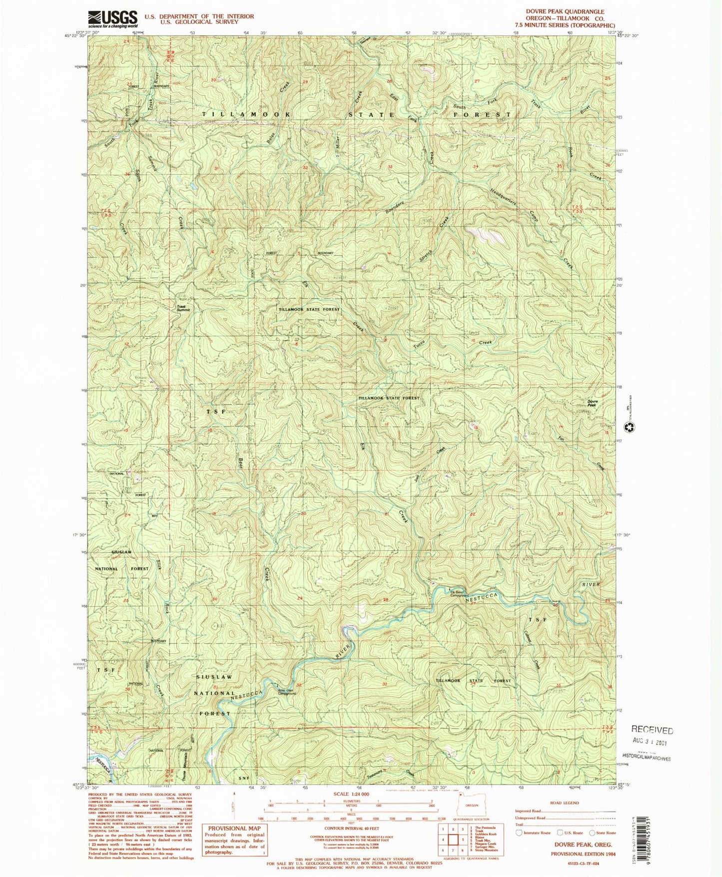
Classic USGS Dovre Peak Oregon 7.5'x7.5' Topo Map
Couldn't load pickup availability
Historical USGS topographic quad map of Dovre Peak in the state of Oregon. Typical map scale is 1:24,000, but may vary for certain years, if available. Print size: 24" x 27"
This quadrangle is in the following counties: Tillamook.
The map contains contour lines, roads, rivers, towns, and lakes. Printed on high-quality waterproof paper with UV fade-resistant inks, and shipped rolled.
Contains the following named places: Mesabi Creek, Headquarters Camp Creek, Joes Creek, Cabinet Creek, Alder Glen Campground, Bear Creek, Dovre Peak, Elk Creek, Rock Creek, Slick Rock Creek, Steampot Creek, Trask Summit, Tucca Creek, Thorn Creek, Elk Bend Campground, Miller Creek, Stretch Creek, South Creek, Boundary Creek, Summit Creek, Murphys Camp Creek