MyTopo
Classic USGS Dow City Iowa 7.5'x7.5' Topo Map
Couldn't load pickup availability
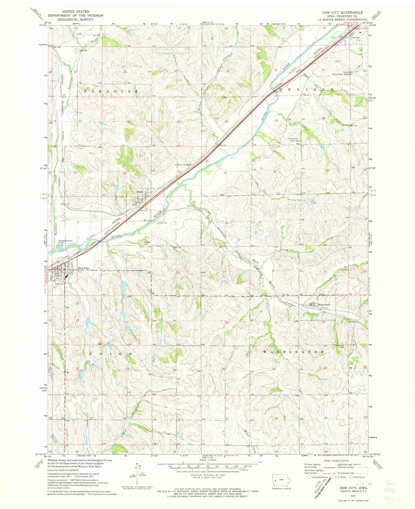
Historical USGS topographic quad map of Dow City in the state of Iowa. Map scale may vary for some years, but is generally around 1:24,000. Print size is approximately 24" x 27"
This quadrangle is in the following counties: Crawford.
The map contains contour lines, roads, rivers, towns, and lakes. Printed on high-quality waterproof paper with UV fade-resistant inks, and shipped rolled.
Contains the following named places: Arion, Arion Access, Arion Post Office, Bell, Bell Post Office, Bethlehem Lutheran Church, Boyer Valley Elementary School, Buck Creek, Buck Grove, Buck Grove Bridge, Buck Grove Cemetery, Buck Grove Post Office, Buckgrove, Butler Cemetery, City of Arion, City of Buck Grove, City of Dow City, Coon Creek, County Farm Park, Crawford County Home for the Aged, Crawford County Poor Farm Cemetery, Denison Municipal Airport, Dow City, Dow City - Arion Fire Department, Dow City Library, Dow City Post Office, Dow House Historic Site, Kimze, Paradise Creek, Reorganized Church of Jesus Christ of Latter Day Saints, Saint Mary Catholic Church, Township of Denison, Township of Paradise, Township of Union, Township of Washington, United Methodist Church, Washington Township Cemetery, Willow Creek, ZIP Code: 51520