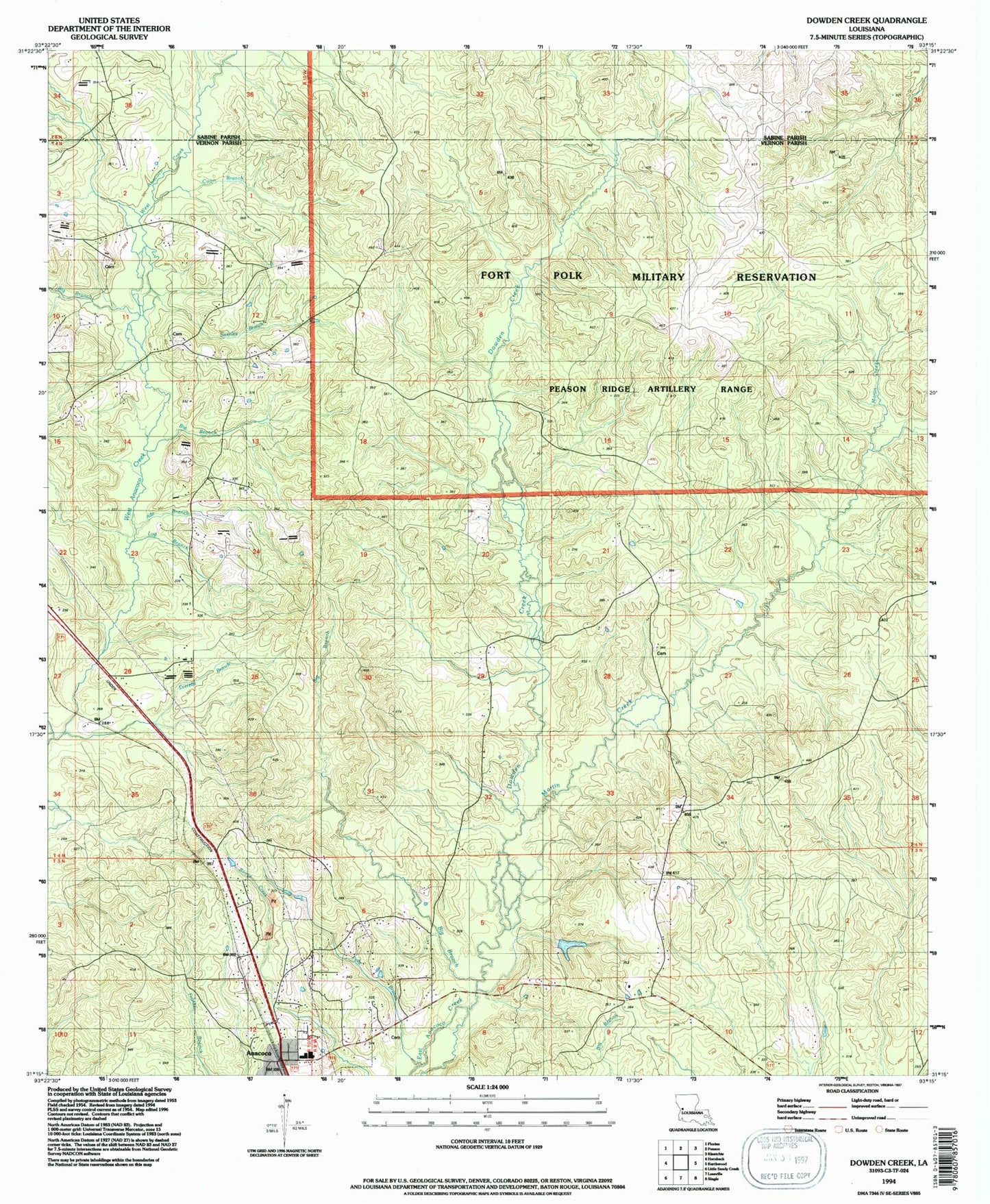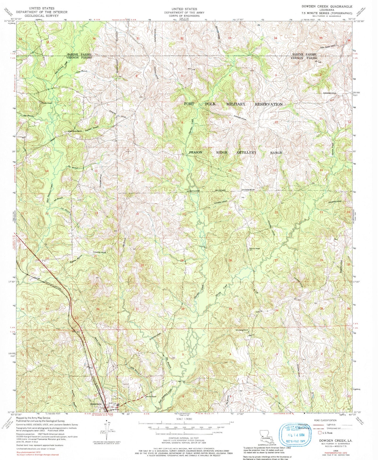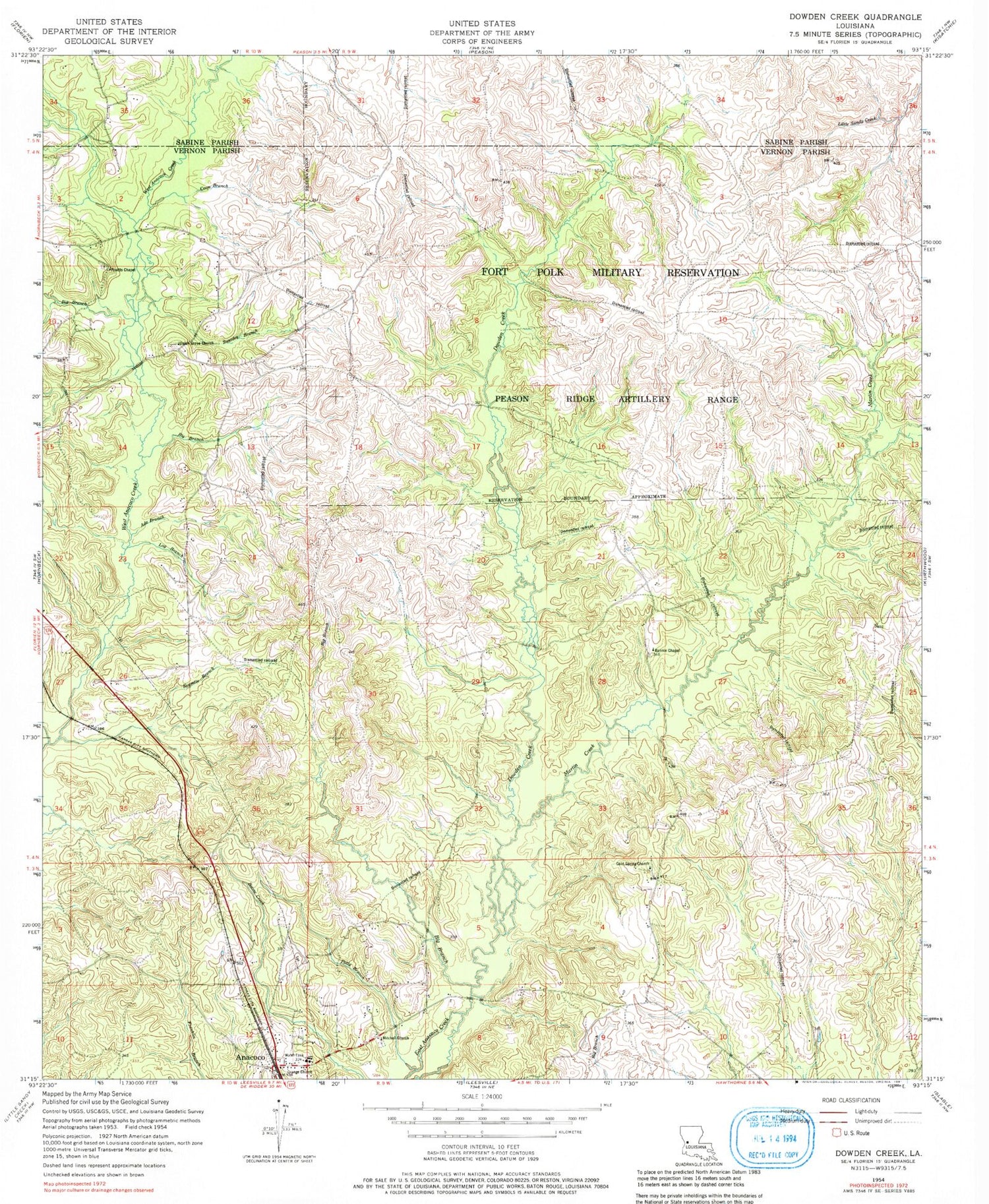
MyTopo
Classic USGS Dowden Creek Louisiana 7.5'x7.5' Topo Map
Couldn't load pickup availability
Historical USGS topographic quad map of Dowden Creek in the state of Louisiana. Map scale may vary for some years, but is generally around 1:24,000. Print size is approximately 24" x 27"
This quadrangle is in the following counties: Sabine, Vernon.
The map contains contour lines, roads, rivers, towns, and lakes. Printed on high-quality waterproof paper with UV fade-resistant inks, and shipped rolled.
Contains the following named places: Ade Branch, Anacoco, Anacoco Elementary School, Anacoco High School, Big Branch, Bonnie Chapel, Brushy Creek, Bull Bay Branch, Cold Springs Baptist Church, Coon Branch, Dowden Creek, Everett, Everette Branch, Log Branch, Martin Creek, McInnis Cemetery, Mitchell Church, Orange Church, Peason Ridge Oil Field, Polly Branch, Pruitts Chapel, Swenley Branch, Union Grove Cemetery, Union Grove Church, Village of Anacoco