MyTopo
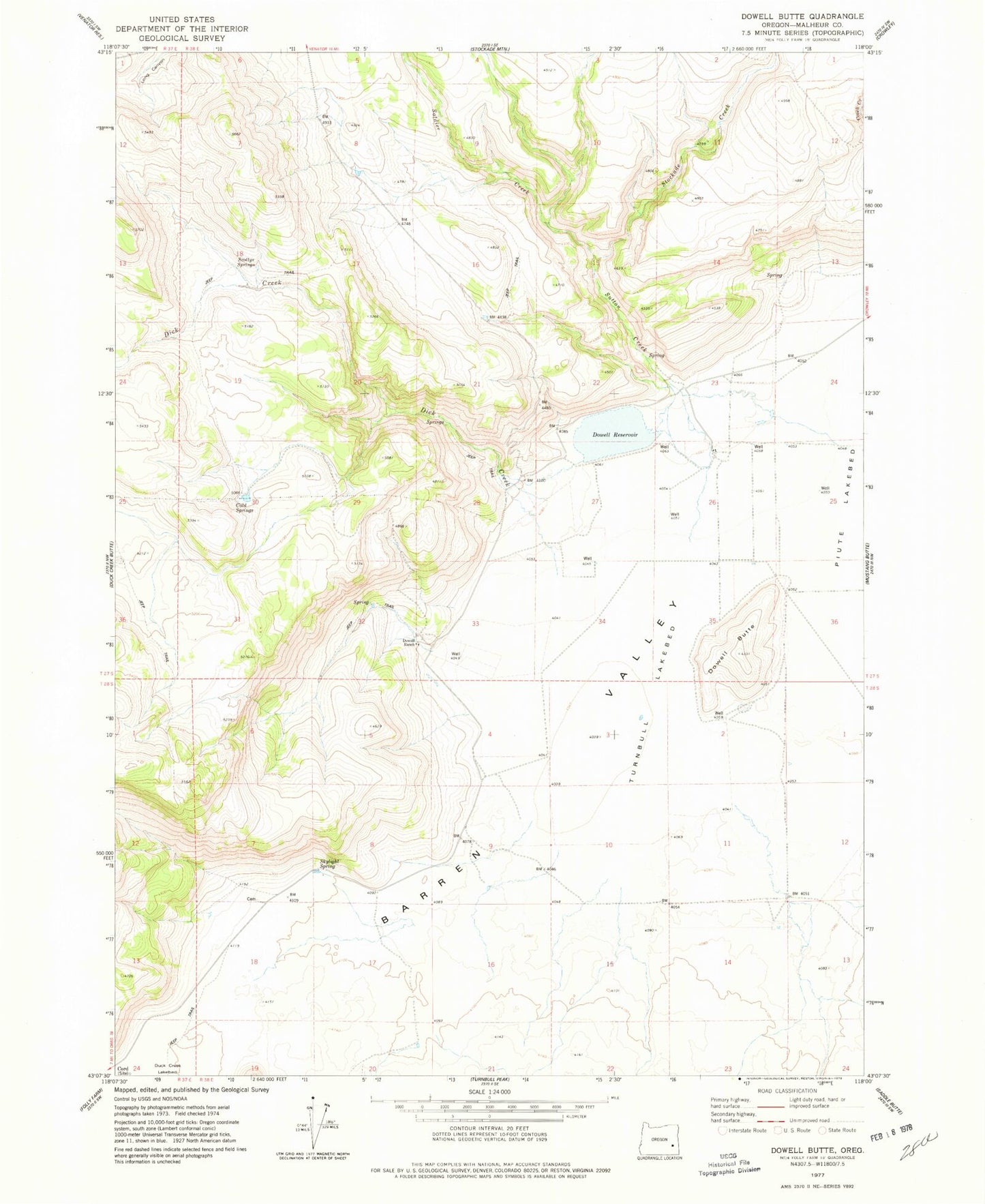
Classic USGS Dowell Butte Oregon 7.5'x7.5' Topo Map
Couldn't load pickup availability
Historical USGS topographic quad map of Dowell Butte in the state of Oregon. Map scale may vary for some years, but is generally around 1:24,000. Print size is approximately 24" x 27"
This quadrangle is in the following counties: Malheur.
The map contains contour lines, roads, rivers, towns, and lakes. Printed on high-quality waterproof paper with UV fade-resistant inks, and shipped rolled.
Contains the following named places: Cold Springs, Cord, Diamond Pit, Dick Creek, Dickinson Brothers Ranch, Dowell Butte, Dowell Ranch, Dowell Reservoir, Duck Pond Ridge, Obenchain Pit, Scottys Springs, Seward - Curks Cemetery, Skylight Spring, Soldier Creek, Stockade Creek, Sutton Creek, Tom Dowell Ranch, Turnbull Lakebed