MyTopo
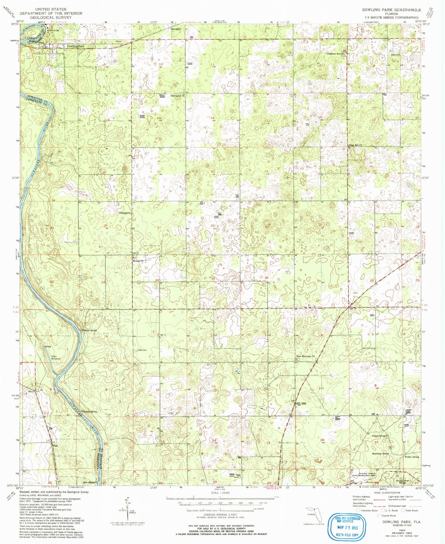
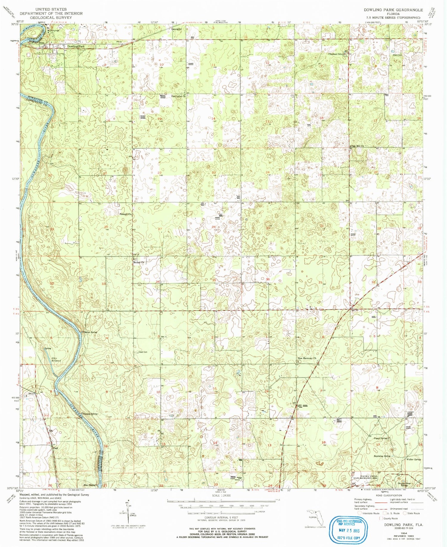
Classic USGS Dowling Park Florida 7.5'x7.5' Topo Map
Couldn't load pickup availability
Historical USGS topographic quad map of Dowling Park in the state of Florida. Map scale may vary for some years, but is generally around 1:24,000. Print size is approximately 24" x 27"
This quadrangle is in the following counties: Lafayette, Suwannee.
The map contains contour lines, roads, rivers, towns, and lakes. Printed on high-quality waterproof paper with UV fade-resistant inks, and shipped rolled.
Contains the following named places: Allen Mill Pond, Allen Mill Pond Spring, Baptizing Spring, Beulah Church, Beulah Community Hall, Blue Spring, Charles Spring, Clayland Church, Clayland School, Dell, Dowling Park, Dowling Park Division, Dowling Park Post Office, Head Cemetery, Lancaster, Mims Cemetery, New Harmony Church, New Harmony Methodist Church, Oak Hill Church, Orange Grove Spring, Patmus Church, Peacock Springs State Park, Pine Level Church, Pump Spring, Thomas Spring, Walker Spring