MyTopo
Classic USGS Downey Lakes Wyoming 7.5'x7.5' Topo Map
Couldn't load pickup availability
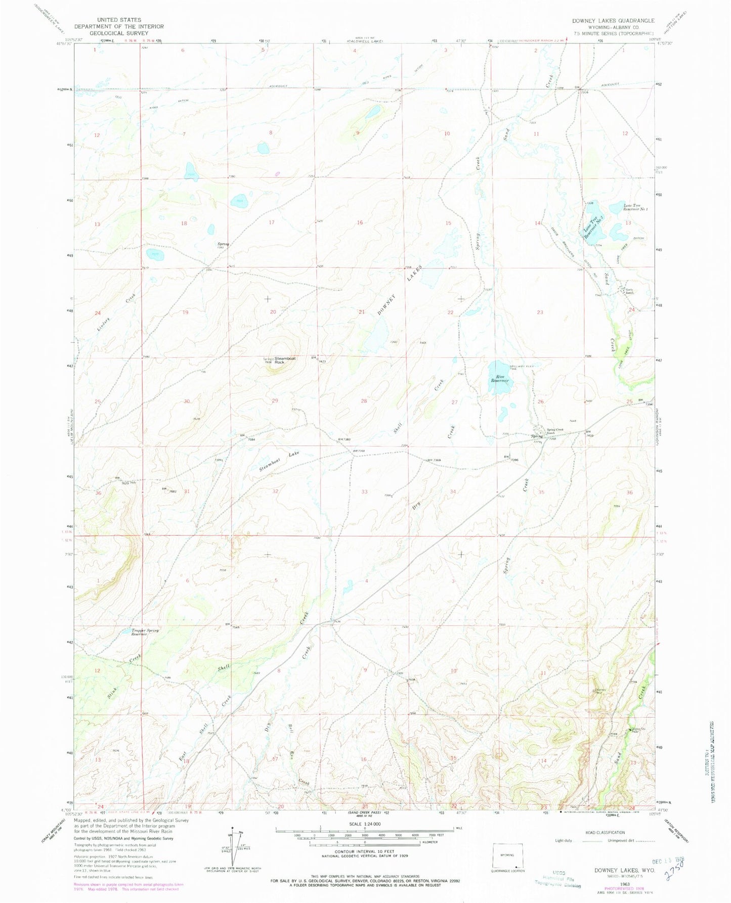
Historical USGS topographic quad map of Downey Lakes in the state of Wyoming. Map scale may vary for some years, but is generally around 1:24,000. Print size is approximately 24" x 27"
This quadrangle is in the following counties: Albany.
The map contains contour lines, roads, rivers, towns, and lakes. Printed on high-quality waterproof paper with UV fade-resistant inks, and shipped rolled.
Contains the following named places: Bull Run Creek, Davis Brothers Ditch Number 1, Downey Lakes, Dry Creek, East Shell Creek, Lindsey Creek, Lone Tree Ditch, Lone Tree Number 1 Dam, Lone Tree Reservoir Number 2, Lone Tree Reservoir Number One, Middle Downey Lake Mine, North Downey Lake Mine, Rice Reservoir, Riverside Ranch Mine, Shell Creek, South Downey Lake Mine, Spring Creek, Spring Creek Ranch, Steamboat Lake, Steamboat Rock, Stink Creek, Trapper Spring Reservoir