
MyTopo
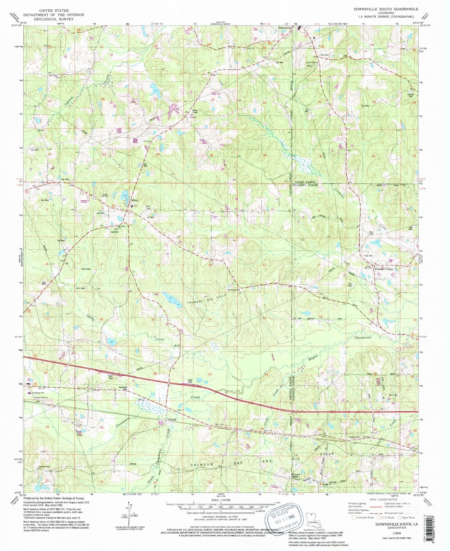
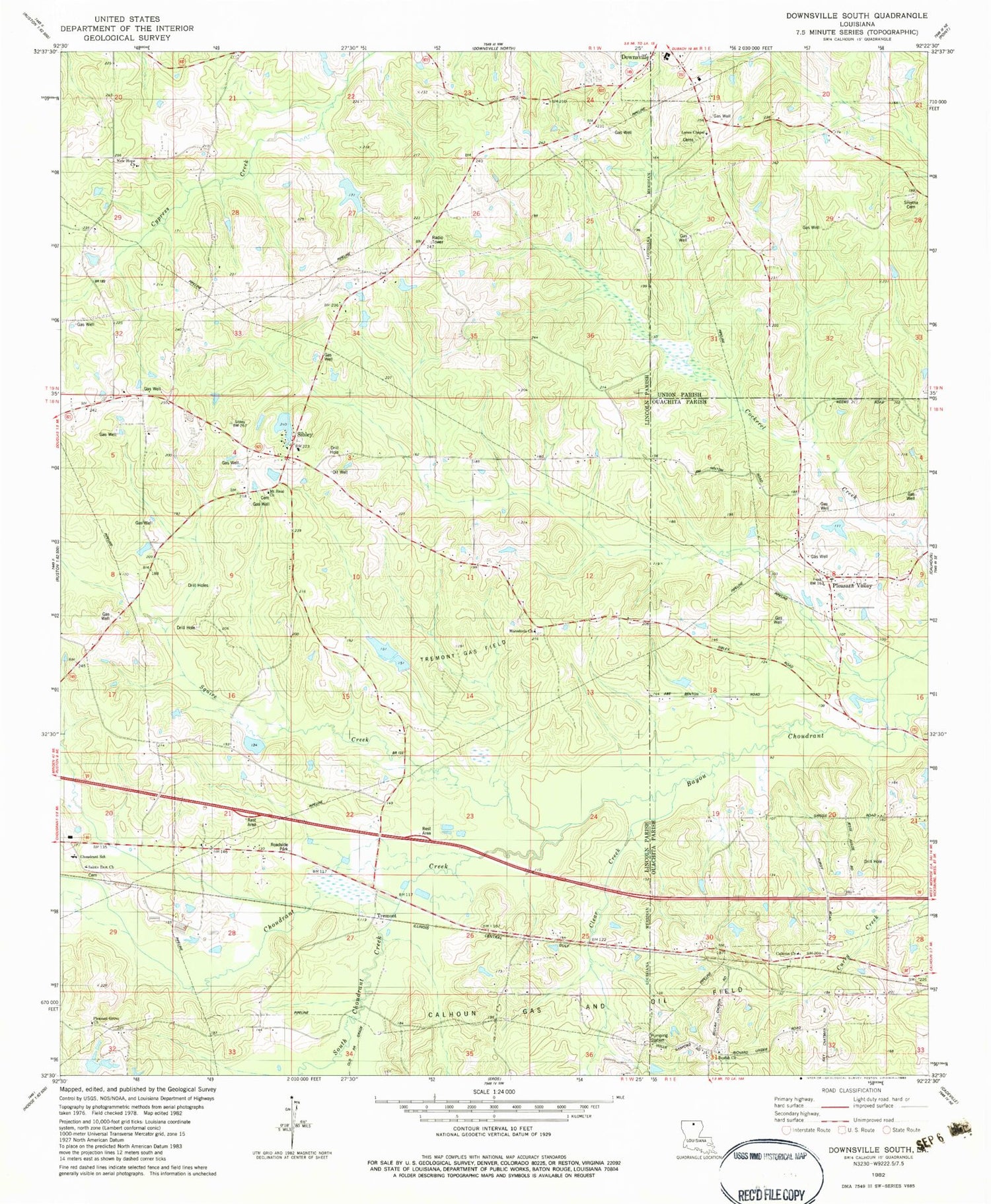
Classic USGS Downsville South Louisiana 7.5'x7.5' Topo Map
Couldn't load pickup availability
Historical USGS topographic quad map of Downsville South in the state of Louisiana. Map scale may vary for some years, but is generally around 1:24,000. Print size is approximately 24" x 27"
This quadrangle is in the following counties: Lincoln, Ouachita, Union.
The map contains contour lines, roads, rivers, towns, and lakes. Printed on high-quality waterproof paper with UV fade-resistant inks, and shipped rolled.
Contains the following named places: Atley Donaldson Pond Dam, Averit, Beulah Church, Calhoun Church, Choudrant Creek, Choudrant Elementary School, Clear Creek, Downsville Community Charter School, Frost Town, Lane School, Lanes Chapel, Macedonia Church, Macedonia School, Mount Sinai Church, New Hope Baptist Church, North Carlton Gas Field, Parish Governing Authority District 5, Pleasant Grove Baptist Church, Pleasant Grove Cemetery, Pleasant Grove School, Pleasant Valley, Pleasant Valley Assembly of God Church, Saints Rest Church, Sibley, Smurney, Smyrna Cemetery, South Choudrant Creek, South Downsville Gas Field, Squire Creek, Tremont, Tremont Gas Field, Zion Traveler Baptist Church, ZIP Code: 71227


