MyTopo
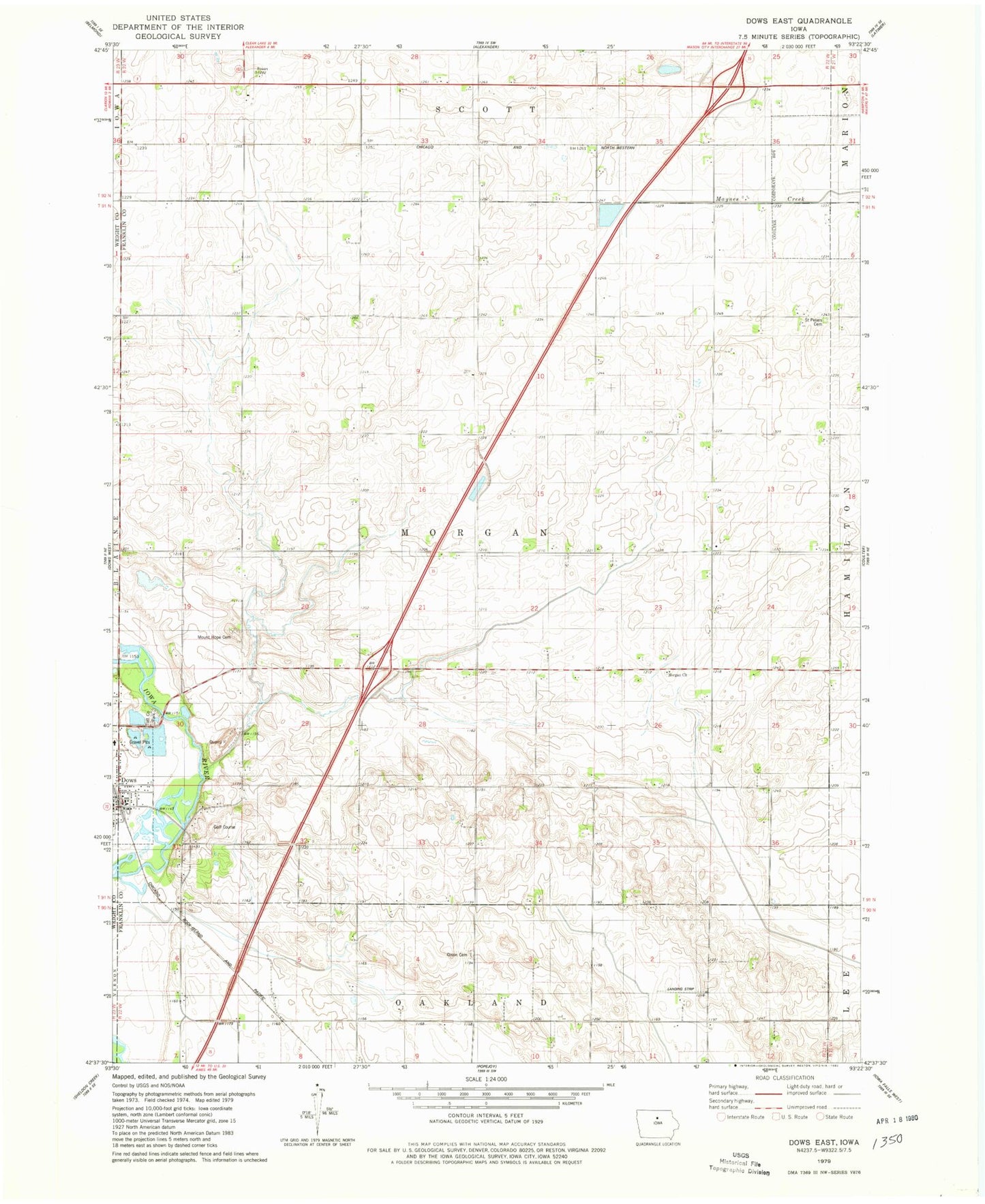
Classic USGS Dows East Iowa 7.5'x7.5' Topo Map
Regular price
$16.95
Regular price
Sale price
$16.95
Unit price
per
Couldn't load pickup availability
Historical USGS topographic quad map of Dows East in the state of Iowa. Map scale may vary for some years, but is generally around 1:24,000. Print size is approximately 24" x 27"
This quadrangle is in the following counties: Franklin, Wright.
The map contains contour lines, roads, rivers, towns, and lakes. Printed on high-quality waterproof paper with UV fade-resistant inks, and shipped rolled.
Contains the following named places: Dows, Dows Golf Course, Dows Quarry, Farmers Co-op Company Elevator, Interstate Lake Park, Morgan Cemetery, Morgan Church, Morgan Township Cemetery, Mount Hope Cemetery, Olson Cemetery, Saint Peters Cemetery, Toft County Park, Toft Wildlife Area, Township of Morgan