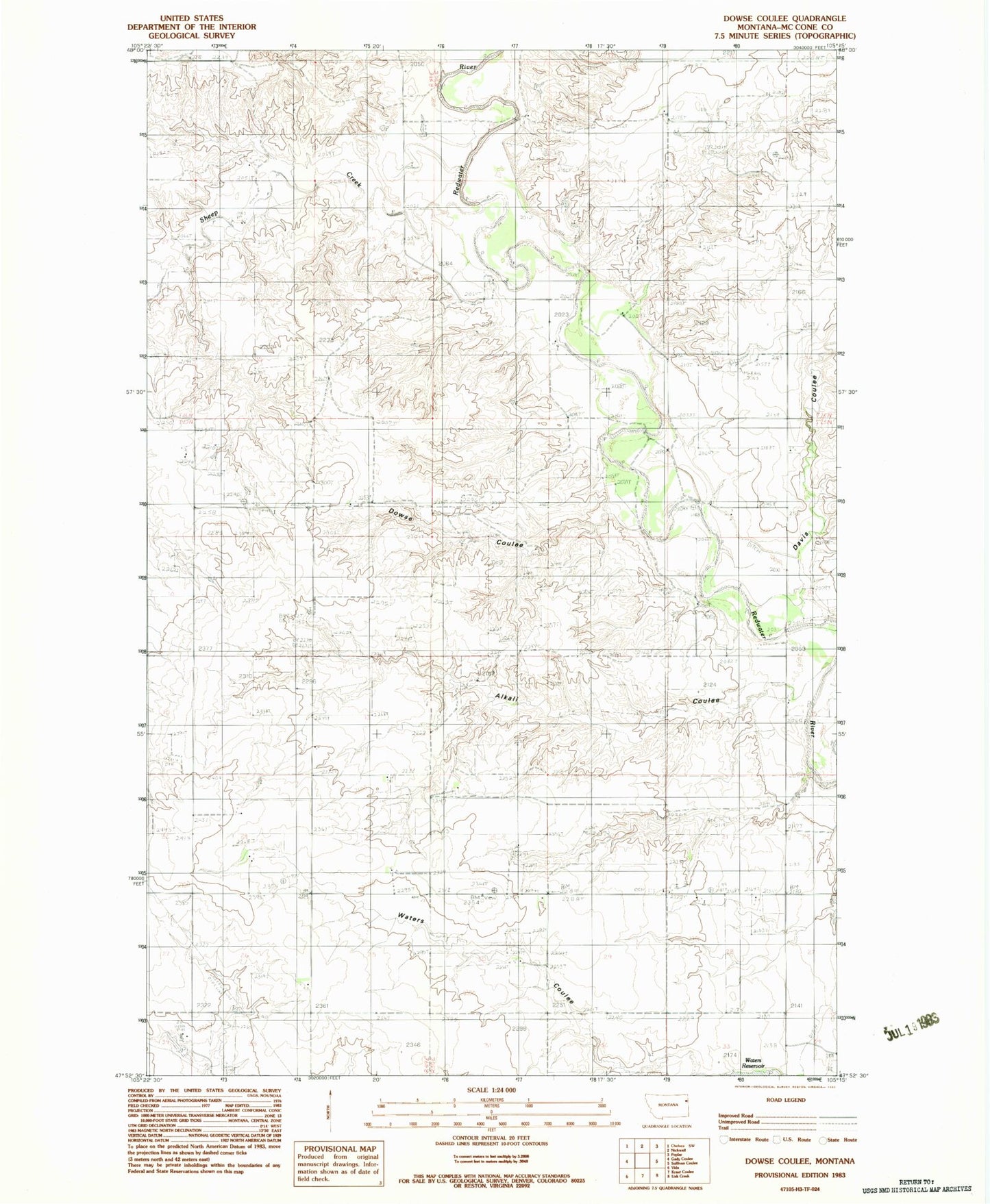
MyTopo
Classic USGS Dowse Coulee Montana 7.5'x7.5' Topo Map
Regular price
$16.95
Regular price
Sale price
$16.95
Unit price
per
Couldn't load pickup availability
Historical USGS topographic quad map of Dowse Coulee in the state of Montana. Map scale may vary for some years, but is generally around 1:24,000. Print size is approximately 24" x 27"
This quadrangle is in the following counties: McCone.
The map contains contour lines, roads, rivers, towns, and lakes. Printed on high-quality waterproof paper with UV fade-resistant inks, and shipped rolled.
Contains the following named places: 25N49E01DBCD01 Well, 25N49E34AA__01 Well, 25N50E09CBAD01 Well, 25N50E21CCCC01 Well, 26N50E33BDAD01 Well, Alkali Coulee, Davis Coulee, Dowse Coulee, Paul Huber Dam, Riverside Cemetery, Robert Johnson Dam, Sacred Heart Mission, Sheep Creek, Waters Dam Number 1