MyTopo
Classic USGS Doyle Peak New Mexico 7.5'x7.5' Topo Map
Regular price
$16.95
Regular price
Sale price
$16.95
Unit price
per
Couldn't load pickup availability
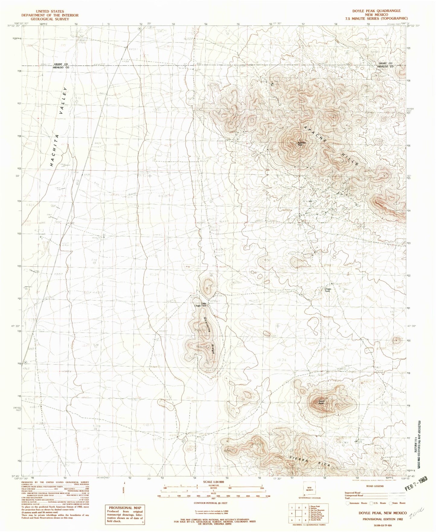
Historical USGS topographic quad map of Doyle Peak in the state of New Mexico. Map scale may vary for some years, but is generally around 1:24,000. Print size is approximately 24" x 27"
This quadrangle is in the following counties: Grant, Hidalgo.
The map contains contour lines, roads, rivers, towns, and lakes. Printed on high-quality waterproof paper with UV fade-resistant inks, and shipped rolled.
Contains the following named places: 8 Mile Water Well, Apache Hills, Apache Mine, Apache Peak, Chapo Mine, Chapo Tank, Christmas Tree Mine, Eightmile Wells, Fourmile Wells, Hachita Pit, Last Chance Lode, Little Chapo Tank, Luna Mine, Mairland Mine, Quartzite Ridge, Summertime Mine