MyTopo
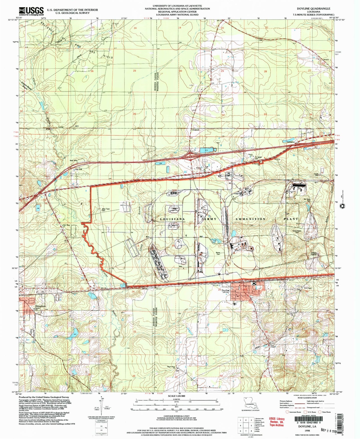
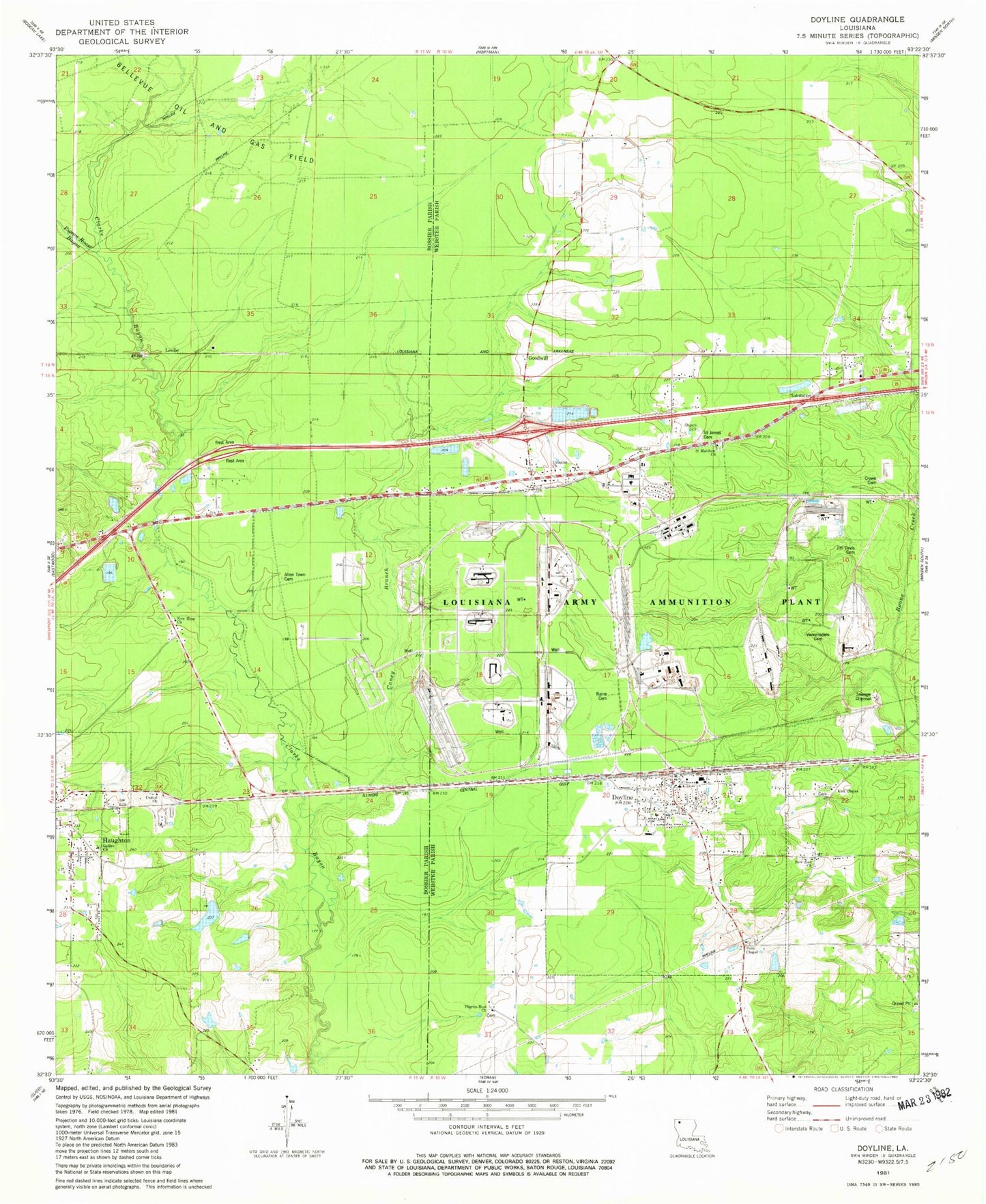
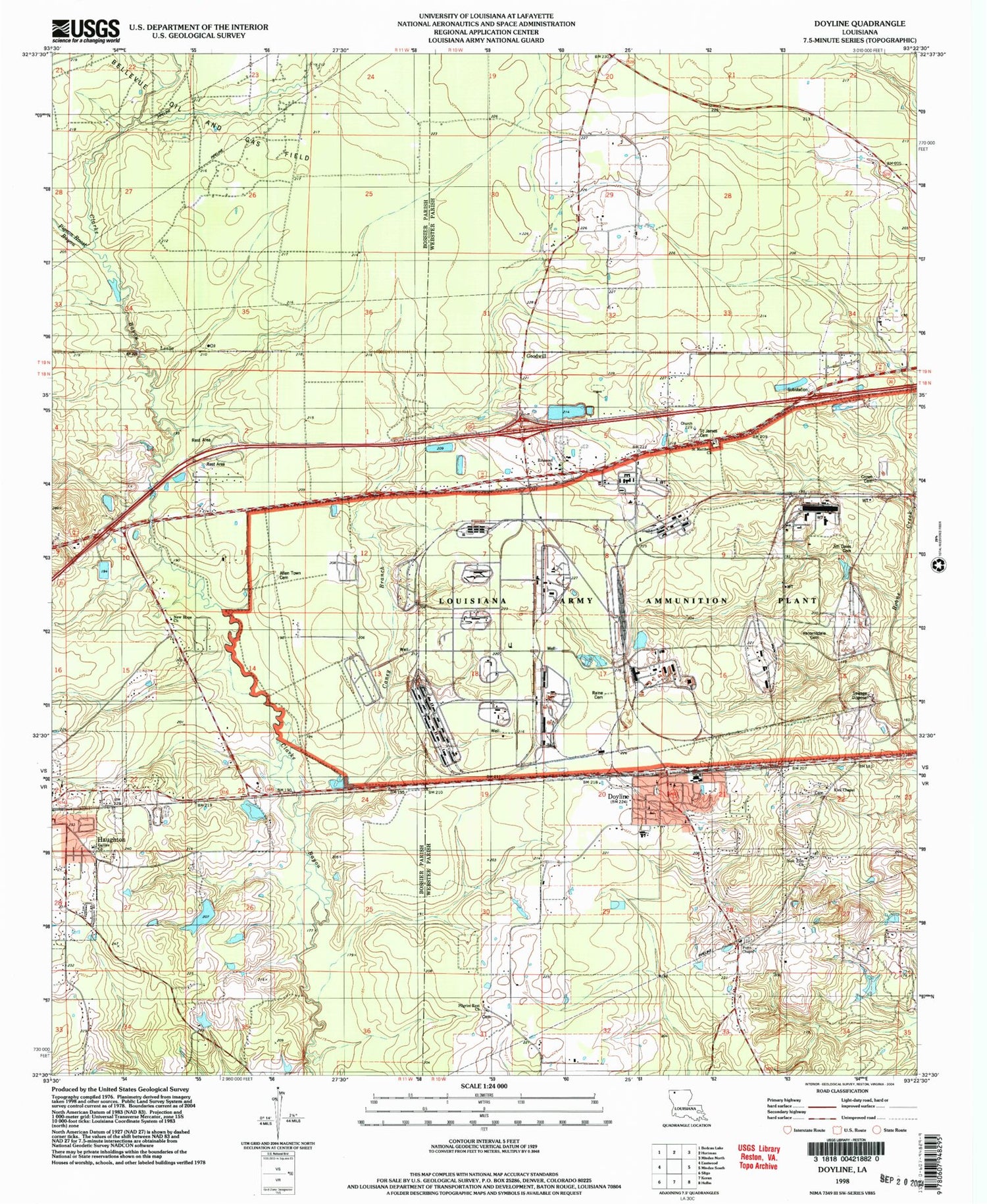
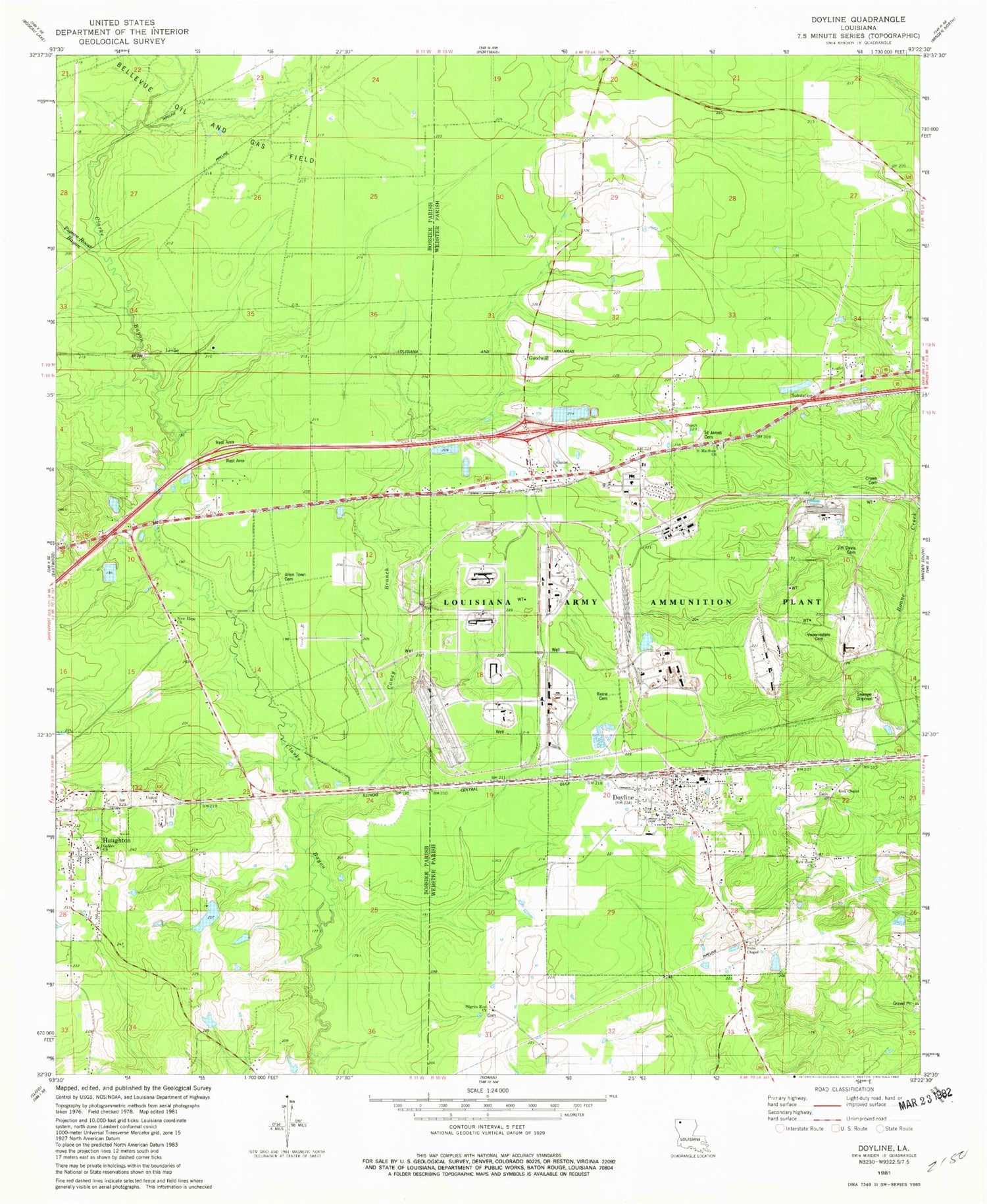
Classic USGS Doyline Louisiana 7.5'x7.5' Topo Map
Couldn't load pickup availability
Historical USGS topographic quad map of Doyline in the state of Louisiana. Typical map scale is 1:24,000, but may vary for certain years, if available. Print size: 24" x 27"
This quadrangle is in the following counties: Bossier, Webster.
The map contains contour lines, roads, rivers, towns, and lakes. Printed on high-quality waterproof paper with UV fade-resistant inks, and shipped rolled.
Contains the following named places: Caney Branch, Concord School, Crowe Cemetery, Doyline, Jenkins School, Jim Davis Cemetery, Kirk Chapel, New Hope Church, Pigeon Roost Bayou, Saint Matthew Church, Vanorsdale Cemetery, Galilee Church, United Church, Allentown Cemetery, Raine Cemetery, Emanuel Church, Point Chapel, New Zion Church, Saint James Cemetery, Goodwill, Leslie, Union Elementary School, Doyline High School, Saint James Church (historical), Pilgrim Rest Baptist Church, Doyline Post Office, Village of Doyline, Louisiana Army Ammunition Plant, Doyline Police Department


