
MyTopo
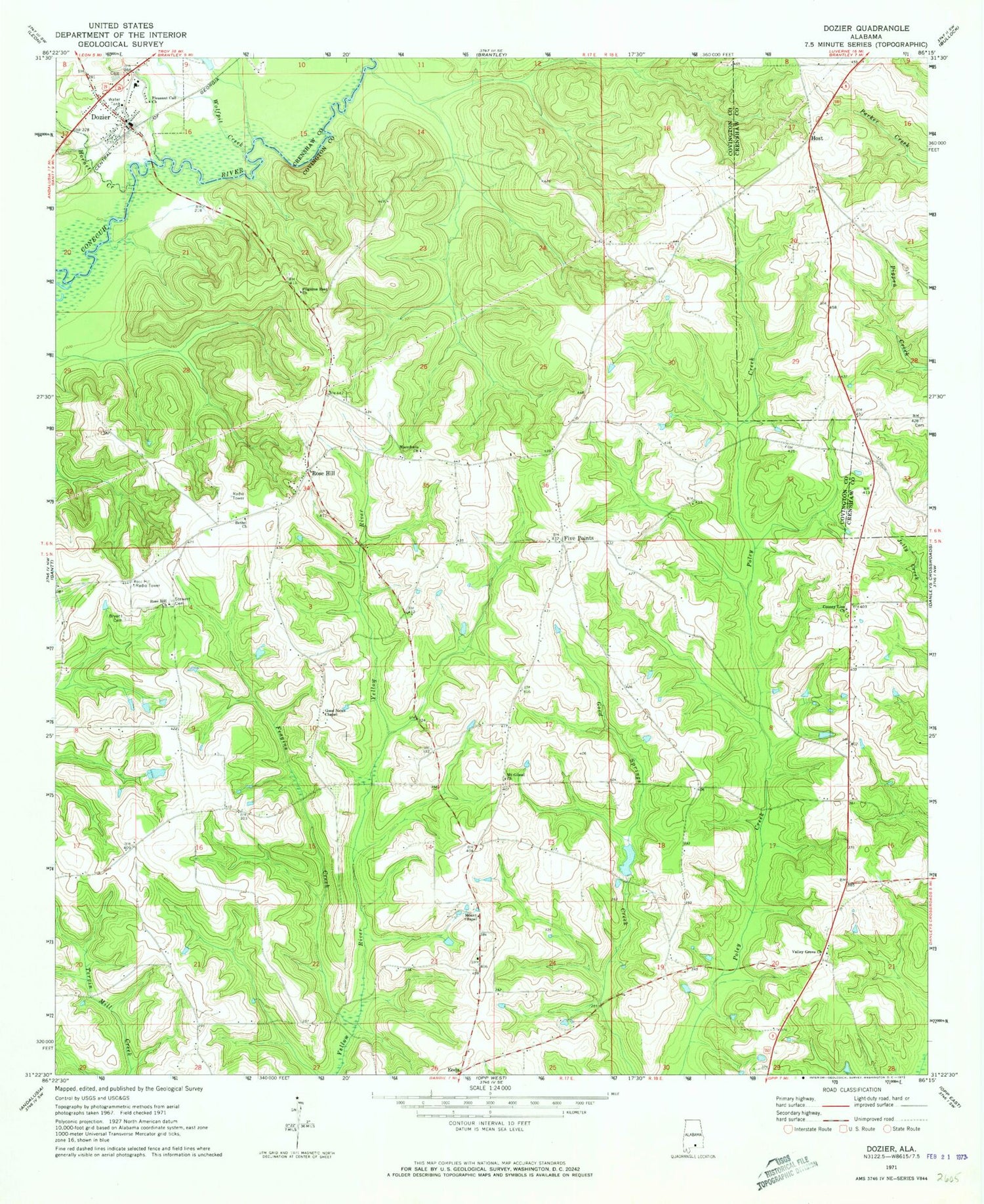
Classic USGS Dozier Alabama 7.5'x7.5' Topo Map
Couldn't load pickup availability
Historical USGS topographic quad map of Dozier in the state of Alabama. Map scale may vary for some years, but is generally around 1:24,000. Print size is approximately 24" x 27"
This quadrangle is in the following counties: Covington, Crenshaw.
The map contains contour lines, roads, rivers, towns, and lakes. Printed on high-quality waterproof paper with UV fade-resistant inks, and shipped rolled.
Contains the following named places: Bailey School, Bethel Church, Bryant Cemetery, Burnt Out School, Corinth School, County Line Church of Christ, Dozier, Dozier Cemetery, Dozier High School, Dozier Post Office, Dozier Volunteer Fire Department, Feagins Creek, Five Points, Friendship Church, Good News Chapel, Hornet Creek, Host, Macedonia Church, Mount Chapel Baptist Church, Mount Gilead Church, Pilgrims Rest Cemetery, Pilgrims Rest Primitive Baptist Church, Pleasant Call Church, Rose Hill, Rose Hill Cemetery, Rose Hill Church, Rose Hill Volunteer Fire Department, Sassers Crossroads, Scofields Mill, Stewart Cemetery, Valley Grove Church, Wolfpit Creek


