MyTopo
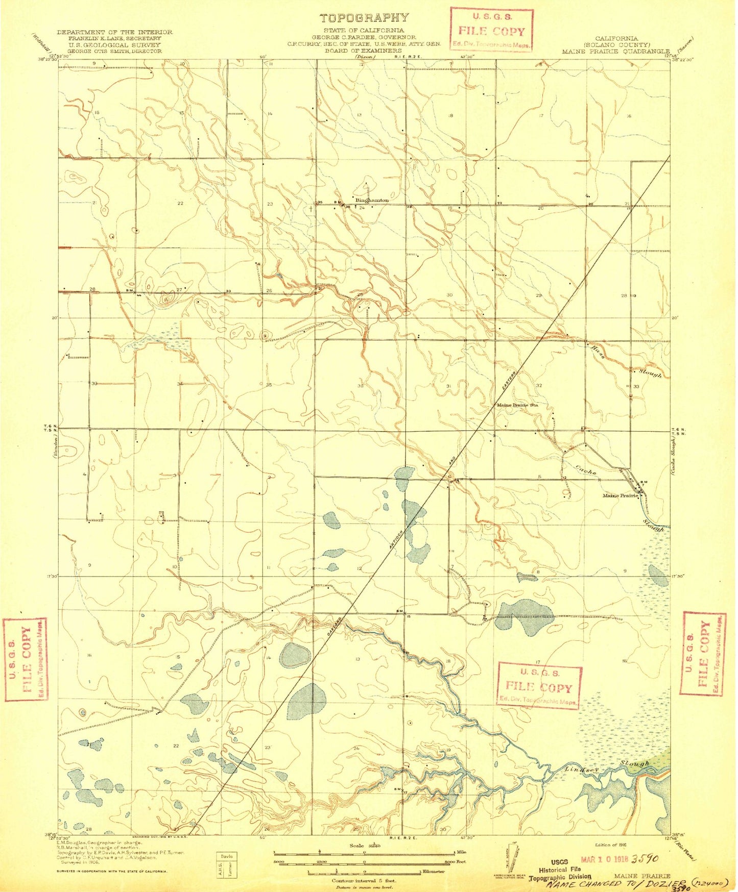
Classic USGS Dozier California 7.5'x7.5' Topo Map
Regular price
$16.95
Regular price
Sale price
$16.95
Unit price
per
Couldn't load pickup availability
Historical USGS topographic quad map of Dozier in the state of California. Map scale may vary for some years, but is generally around 1:24,000. Print size is approximately 24" x 27"
This quadrangle is in the following counties: Solano.
The map contains contour lines, roads, rivers, towns, and lakes. Printed on high-quality waterproof paper with UV fade-resistant inks, and shipped rolled.
Contains the following named places: Alamo Creek, Barker Slough, Binghampton Cemetery, Binghamton, Bunker, Calhoun Cut, Campbell Ranch, Dozier, Hastings Cut, Hay Road Landfill, Maine Prairie, Maine Prairie School, Maine Prairie Slough, Maine Prarie Number 3 1040 Dam, Olcott, Sweany Creek, The Big Ditch, Vale