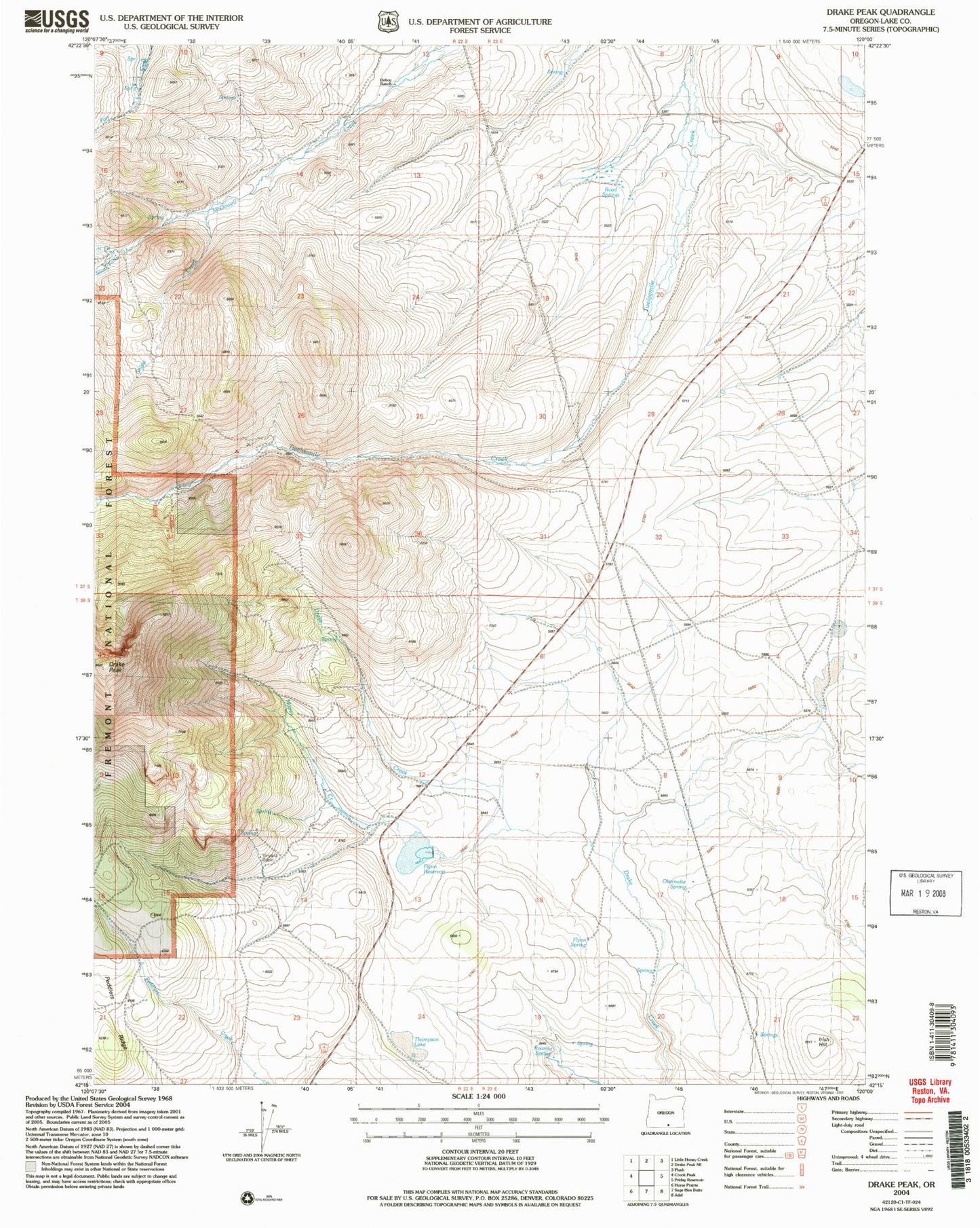
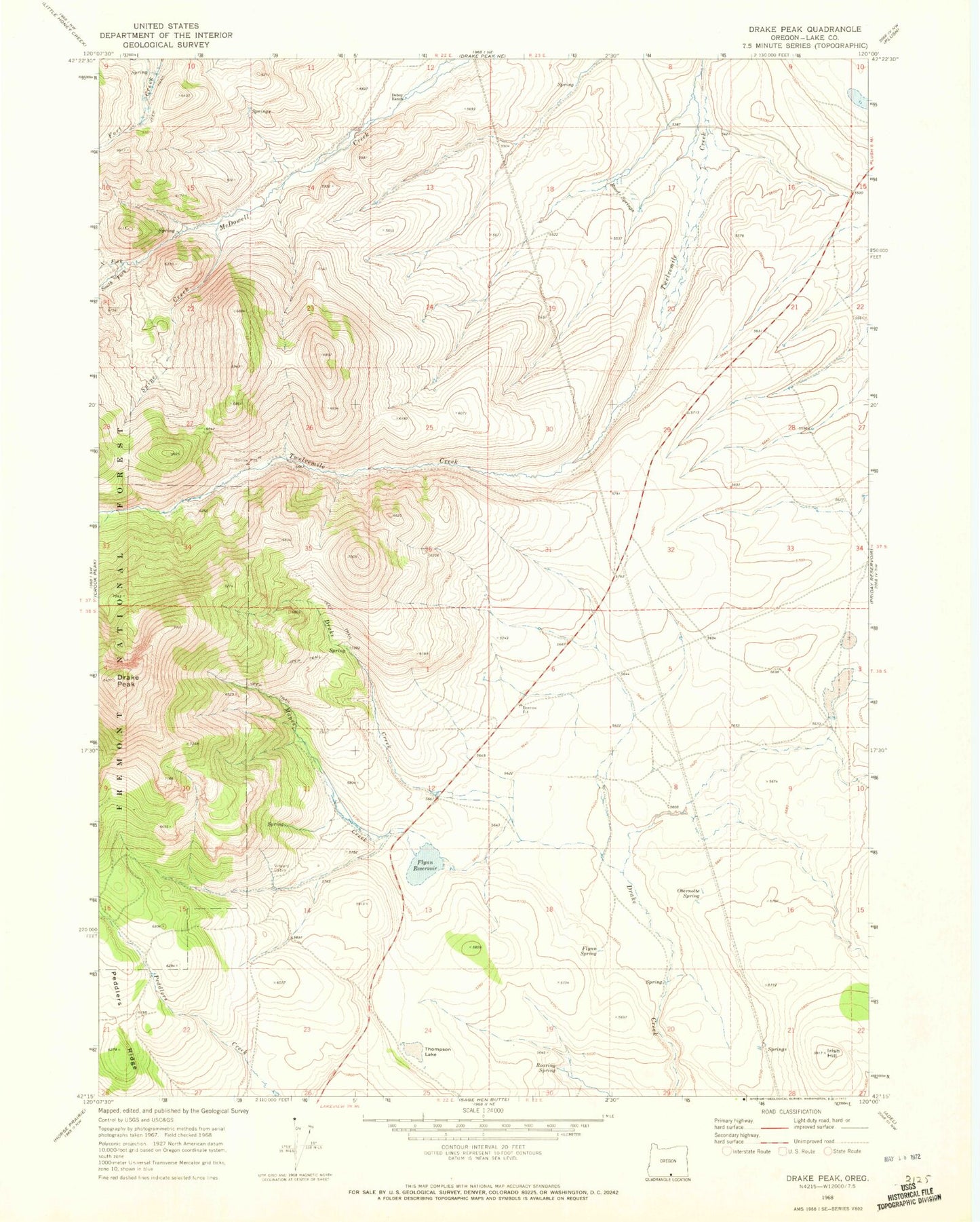
MyTopo
Classic USGS Drake Peak Oregon 7.5'x7.5' Topo Map
Couldn't load pickup availability
Historical USGS topographic quad map of Drake Peak in the state of Oregon. Map scale may vary for some years, but is generally around 1:24,000. Print size is approximately 24" x 27"
This quadrangle is in the following counties: Lake.
The map contains contour lines, roads, rivers, towns, and lakes. Printed on high-quality waterproof paper with UV fade-resistant inks, and shipped rolled.
Contains the following named places: Deboy Ranch, Deboy Reservoir, Drake Peak, Flynn Dam, Flynn Reservoir, Flynn Spring, Game Reservoir, Irish Hill, Mapes Creek, North Fork McDowell Creek, Obernolte Spring, Road Springs, Roaring Spring, Snipe Creek, South Fork McDowell Creek, State Game Reservoir Number Two, Thompson Lake, Vinyard Cabin