MyTopo
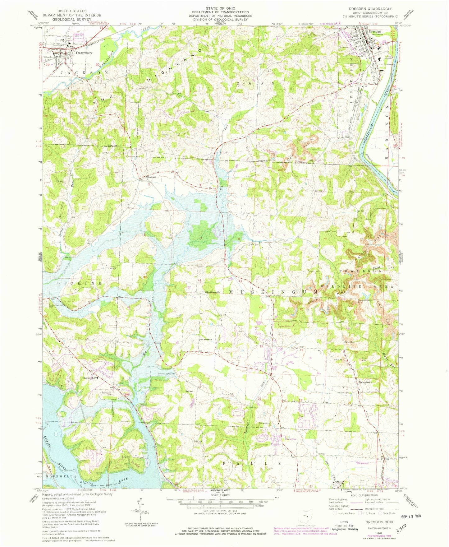
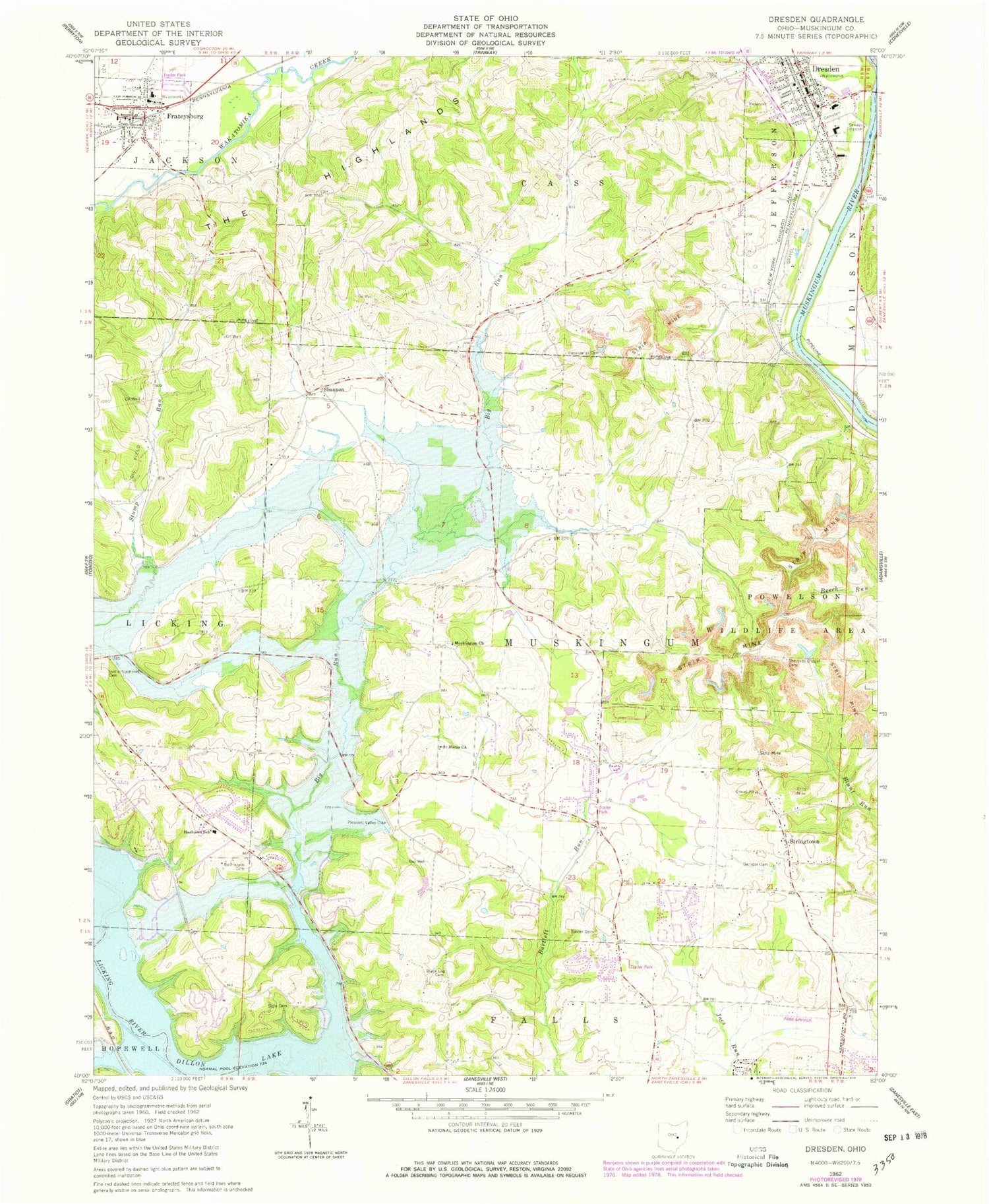
Classic USGS Dresden Ohio 7.5'x7.5' Topo Map
Couldn't load pickup availability
Historical USGS topographic quad map of Dresden in the state of Ohio. Typical map scale is 1:24,000, but may vary for certain years, if available. Print size: 24" x 27"
This quadrangle is in the following counties: Muskingum.
The map contains contour lines, roads, rivers, towns, and lakes. Printed on high-quality waterproof paper with UV fade-resistant inks, and shipped rolled.
Contains the following named places: Dillon Lake, Bethlehem Cemetery, Black Log Cemetery, Baxter Cemetery, Covenanter Cemetery, Garnger Cemetery, Pleasant Valley Dike, Poverty Run, Sherrods Chapel, Sidle Cemetery, The Highlands, Dresden, Shannon, Stringtown, Sodom School (historical), Frazeysburg Elementary School, Dutch School (historical), Elberson School (historical), Vandenbark School (historical), Zanesville Industrial Park, Kelley Store (historical), McGlade School (historical), Sandy Ridge School (historical), Stony Point School (historical), Tri-Valley High School, Jefferson Elementary School, Powelson State Wildlife Area, Frazeysburg, Big Run, Lower Dresden, Muskingum Presbyterian Church, Saint Marys Catholic Church, Frazeysburg Cemetery, Wakatomika (historical), Nashport Elementary School, Parr Airport, Township of Jefferson, Township of Muskingum, Dresden United Methodist Church, Dresden Village Mall Shopping Center, Eschmans Hall, First Baptist Church, Kenney Wolford Community Park, Longaberger Museum, Dresden Cemetery, Mattingly Settlement Cemetery, Muskingum Presbyterian Cemetery, Shannon Baptist Cemetery, Shannon Baptist Church (historical), Sherrods Chapel Cemetery, Dresden Post Office, Frazeysburg Post Office, Shannon Post Office (historical), Village of Dresden, Village of Frazeysburg, Licking Township Volunteer Fire Department, Dresden Fire Department, Muskingum Township Volunteer Fire Department, Frazeysburg Volunteer Fire Department, Hoppers Grove Methodist Episcopal Cemetery, Dresden Police Department, Stonehenge, Woodcrest


