
MyTopo
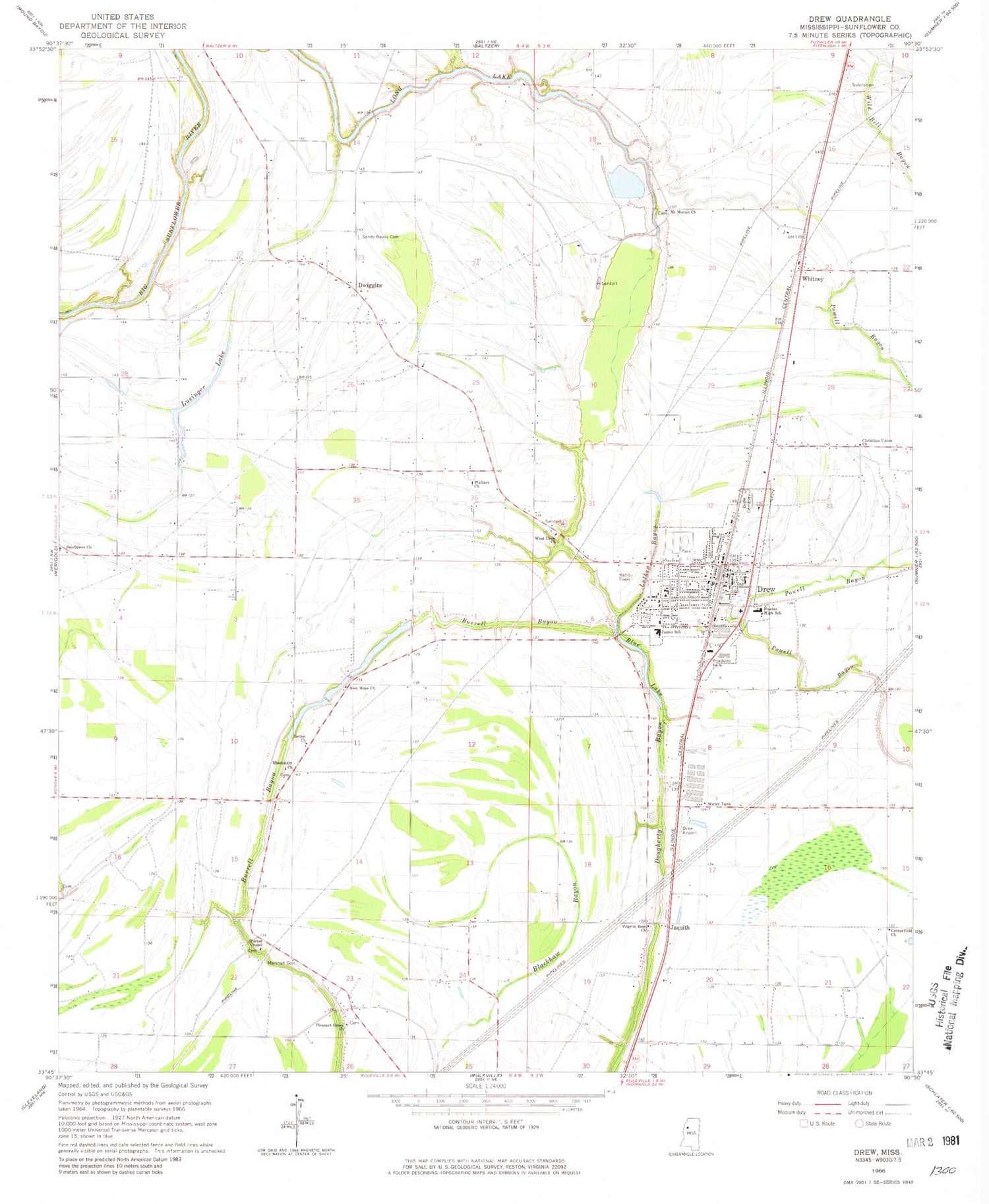
Classic USGS Drew Mississippi 7.5'x7.5' Topo Map
Couldn't load pickup availability
Historical USGS topographic quad map of Drew in the state of Mississippi. Map scale may vary for some years, but is generally around 1:24,000. Print size is approximately 24" x 27"
This quadrangle is in the following counties: Sunflower.
The map contains contour lines, roads, rivers, towns, and lakes. Printed on high-quality waterproof paper with UV fade-resistant inks, and shipped rolled.
Contains the following named places: A W James Elementary School, Ballaston, Bethel Church, Blackhaw School, Blue Lake, Centerfield Church, Christian Union Church, Church of Christ, City of Drew, Drew, Drew Cemetery, Drew Health Clinic, Drew High School, Drew Lagoon Dam, Drew Police Department, Drew Post Office, Drew Public Library, Drew United Methodist Church, Drew Volunteer Fire Department, Dwiggins, First Baptist Church, Galen, Gold Dust Church, Holly Grove Baptist Church, Howard Grittman Pond Dam, Hunter High School, Jaquith, Long Lake, Long Lake School, Looney Plantation, Lusinger Lake, Lutken Bayou, Marshall Cemetery, Marshall School, Missionary Church, Mount Moriah Church, New Hope Church, New Hope School, Nora Smith Church, Pilgrim Green Church, Pilgrim Rest Church, Pleasant Grove Church, Powell Bayou, Prewitt School, Promised Land, Ruleville-Drew Airport, Saint Marys Church, Sandy Bayou, Sandy Bayou Cemetery, Stansel Plantation, Strangers Home Church, Sunflower Church, Sunflower Plantation, Supervisor District 5, Turner Chapel, Wallace Church, West Drew Church, Whitney, Whitney Church, WKZB-FM (Drew), ZIP Code: 38737


