MyTopo
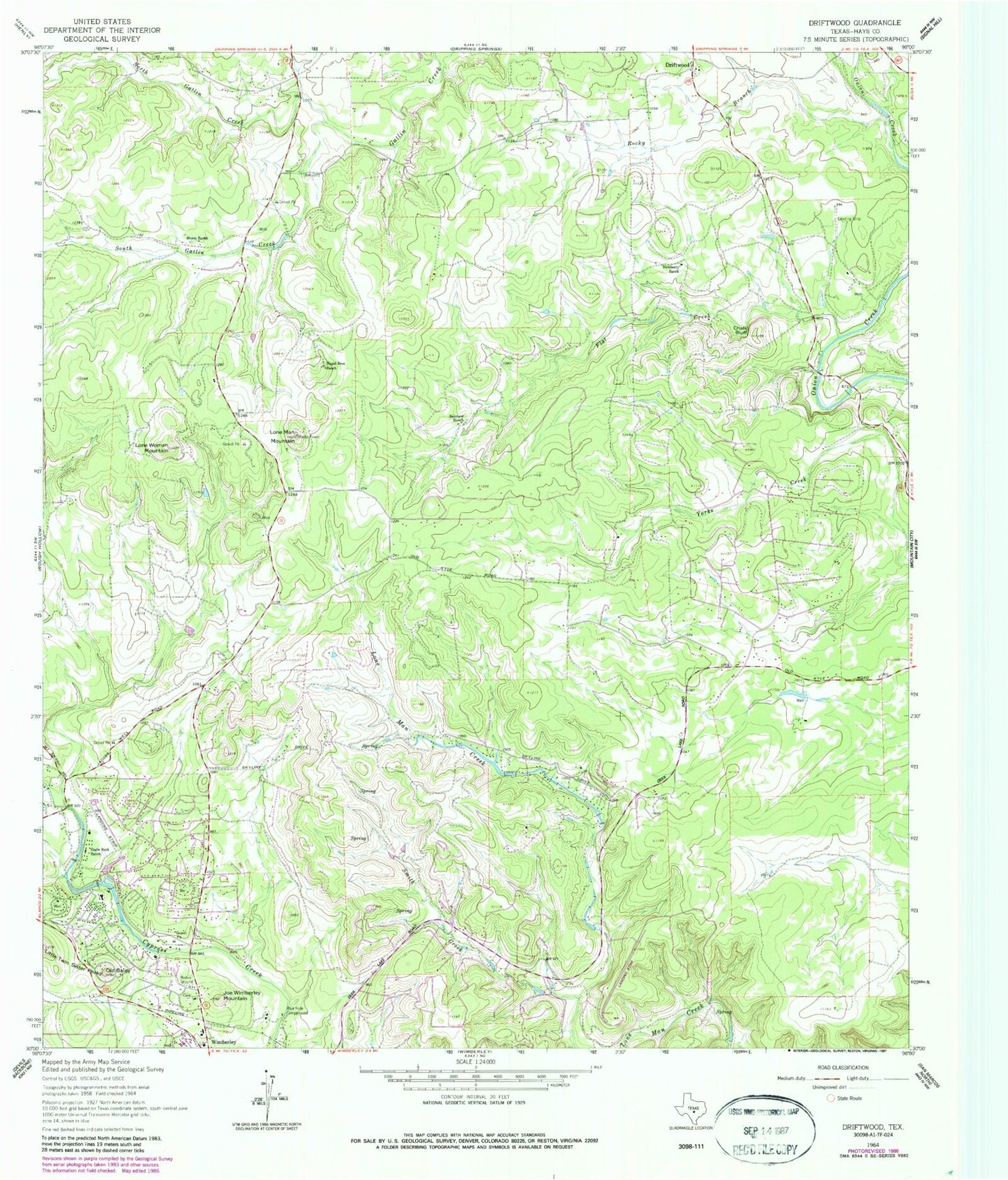
Classic USGS Driftwood Texas 7.5'x7.5' Topo Map
Couldn't load pickup availability
Historical USGS topographic quad map of Driftwood in the state of Texas. Typical map scale is 1:24,000, but may vary for certain years, if available. Print size: 24" x 27"
This quadrangle is in the following counties: Hays.
The map contains contour lines, roads, rivers, towns, and lakes. Printed on high-quality waterproof paper with UV fade-resistant inks, and shipped rolled.
Contains the following named places: Blue Hole Campground, Chalk Bluff, Eagle Rock Ranch, Flat Creek, Joe Wimberley Mountain, Little Twin Sister Peaks, Lone Man Mountain, Lone Woman Mountain, Nagel Brothers Ranch, Newberry Ranch, Old Baldy, Rainbow Ranch, Rocky Branch, Smith Creek, South Gatlin Creek, Storm Ranch, North Gatlin Creek, Driftwood, Hays County, Woodcreek Resort Airport (historical), Woodcreek, Bowen Intermediate School, Scudder Primary School, Wimberley High School, Wimberley Church of Christ, The Chapel in the Hills Community Church, City of Woodcreek, Wimberley Volunteer Fire Department Central Station, Wimberley Volunteer Fire Department Rolling Oaks Station, White Wings Airport, Driftwood Post Office, Wimberley Post Office, Hays County Sheriff's Office - Wimberley Substation, Woodcreek City Hall


