MyTopo
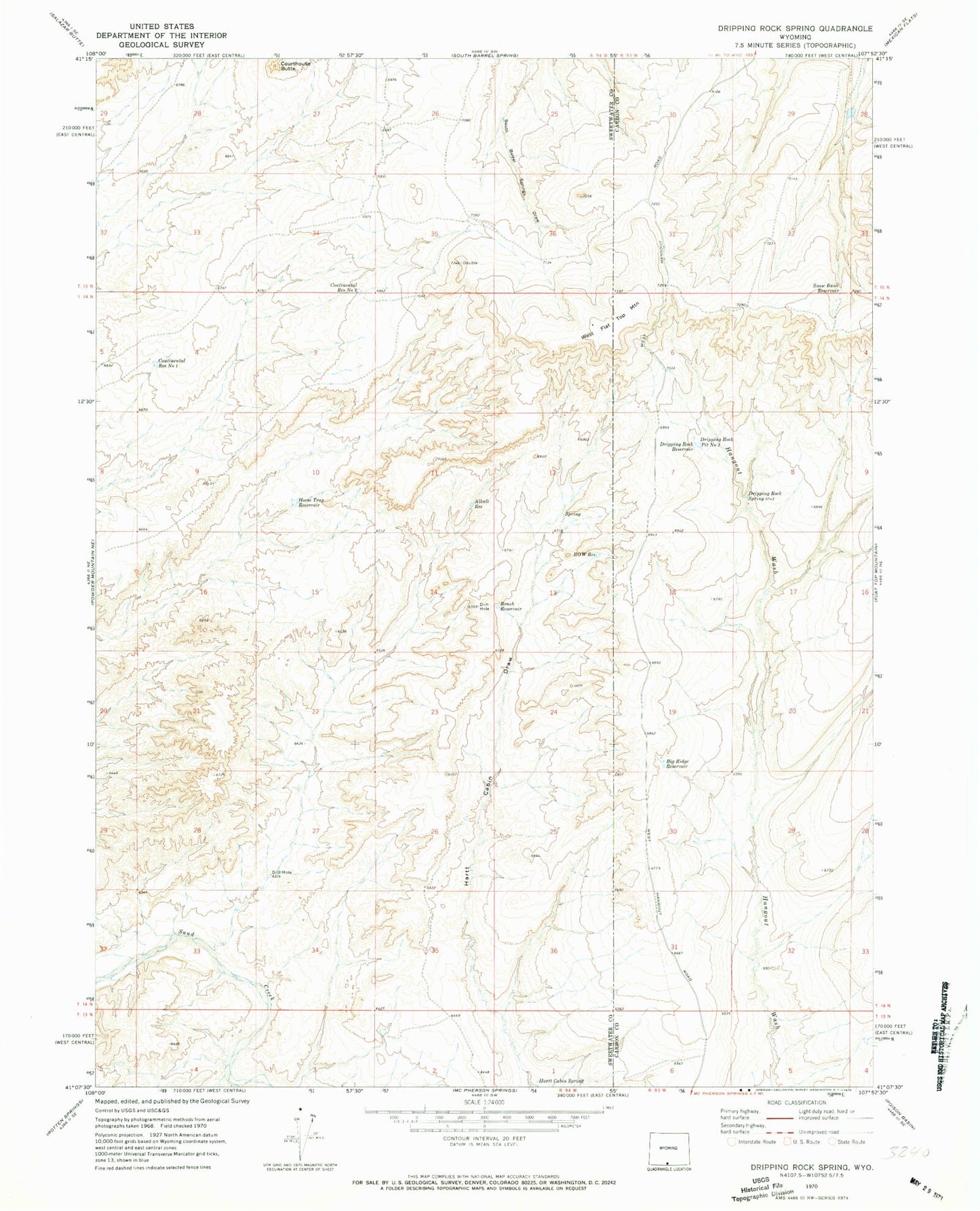
Classic USGS Dripping Rock Spring Wyoming 7.5'x7.5' Topo Map
Couldn't load pickup availability
Historical USGS topographic quad map of Dripping Rock Spring in the state of Wyoming. Map scale may vary for some years, but is generally around 1:24,000. Print size is approximately 24" x 27"
This quadrangle is in the following counties: Carbon, Sweetwater.
The map contains contour lines, roads, rivers, towns, and lakes. Printed on high-quality waterproof paper with UV fade-resistant inks, and shipped rolled.
Contains the following named places: Alkali Reservoir, Big Ridge Reservoir, Brush Reservoir, Continental Reservoir Number 1, Continental Reservoir Number 2, Courthouse Butte, Detention Dam 1593 Number 3, Dripping Rock Pit Number 2, Dripping Rock Reservoir, Dripping Rock Spring, Hartt Cabin Spring, Horse Trap Reservoir, R O W Reservoir, Snow Bank Reservoir, West Flat Top Mountain