MyTopo
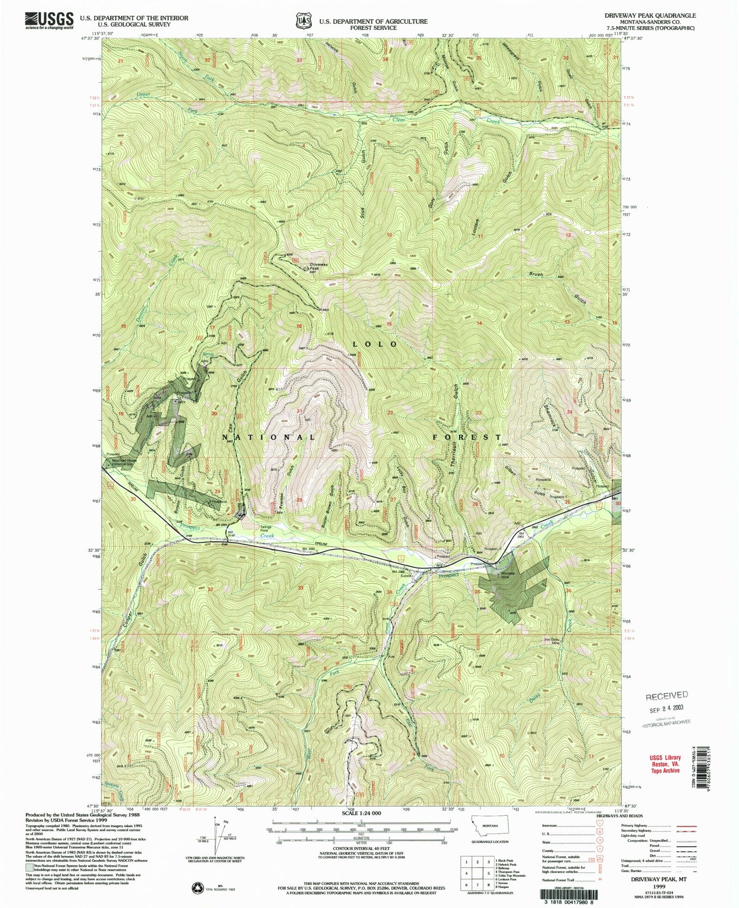
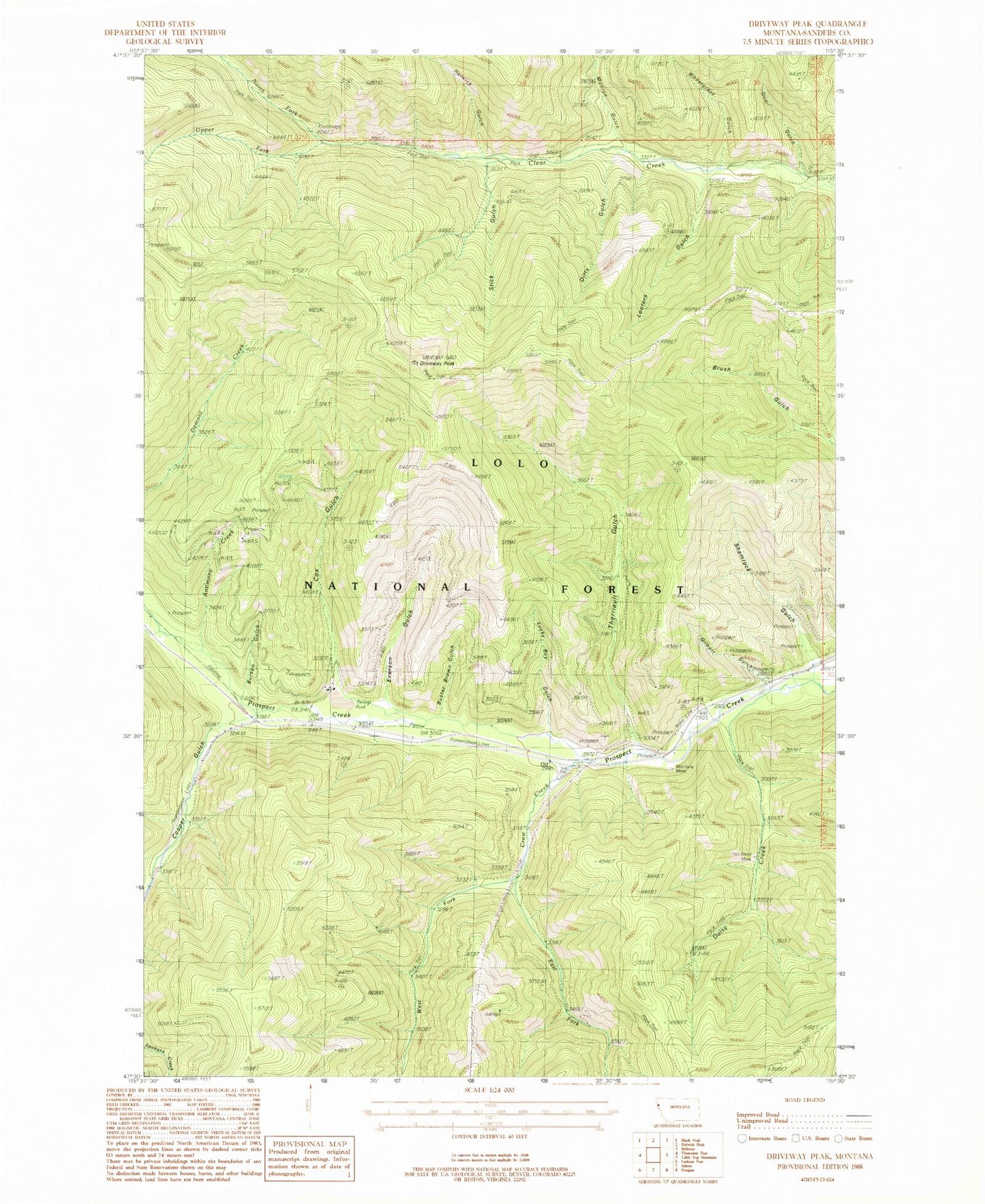
Classic USGS Driveway Peak Montana 7.5'x7.5' Topo Map
Couldn't load pickup availability
Historical USGS topographic quad map of Driveway Peak in the state of Montana. Typical map scale is 1:24,000, but may vary for certain years, if available. Print size: 24" x 27"
This quadrangle is in the following counties: Sanders.
The map contains contour lines, roads, rivers, towns, and lakes. Printed on high-quality waterproof paper with UV fade-resistant inks, and shipped rolled.
Contains the following named places: Antimony Creek, Buster Brown Gulch, Cooper Gulch, Cox Gulch, Crow Creek, Daisy Creek, Dirty Gulch, Driveway Peak, East Fork Crow Creek, Everson Gulch, Helwick Gulch, Looters Gulch, Lucky Boy Gulch, Monroe Gulch, Montana Mine, North Fork Clear Creek, Quail Gulch, Shamrock Gulch, Stick Gulch, Therriault Gulch, United States Forest Service Fire Station, Upper Fork Clear Creek, West Fork Crow Creek, Wheatgrass Gulch, Iron Daisy Mine, Burson Gulch, Gilbert Gulch, Mountain House Historic Site, Meadow Mountain/Tarbox Mine, Iron Daisy Mine, Lower Schwark Mine, Upper Schwark Mine, Montana Standard Mine, Antimony Mine, Prospect Creek Mine, Montana City (historical)


