MyTopo
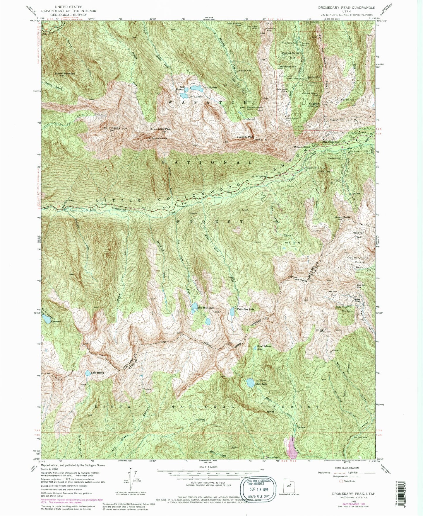
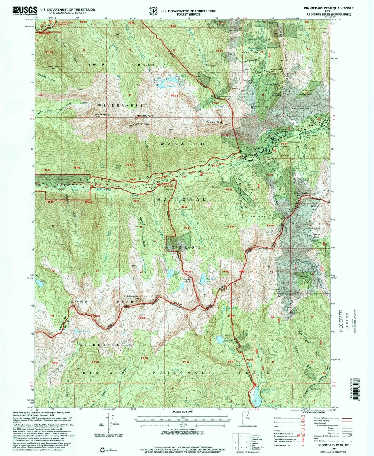
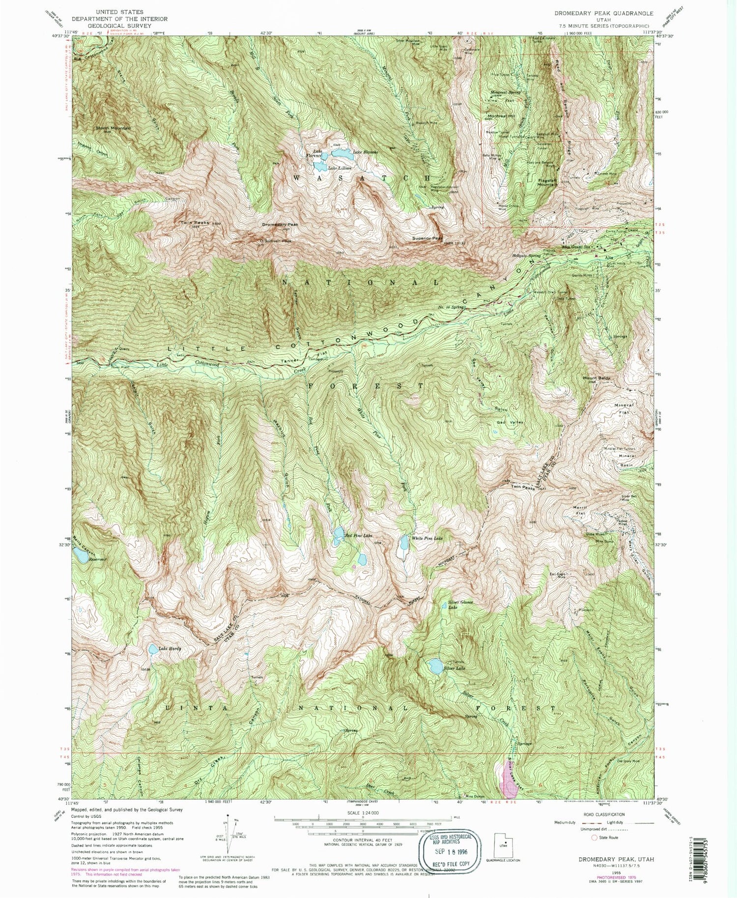
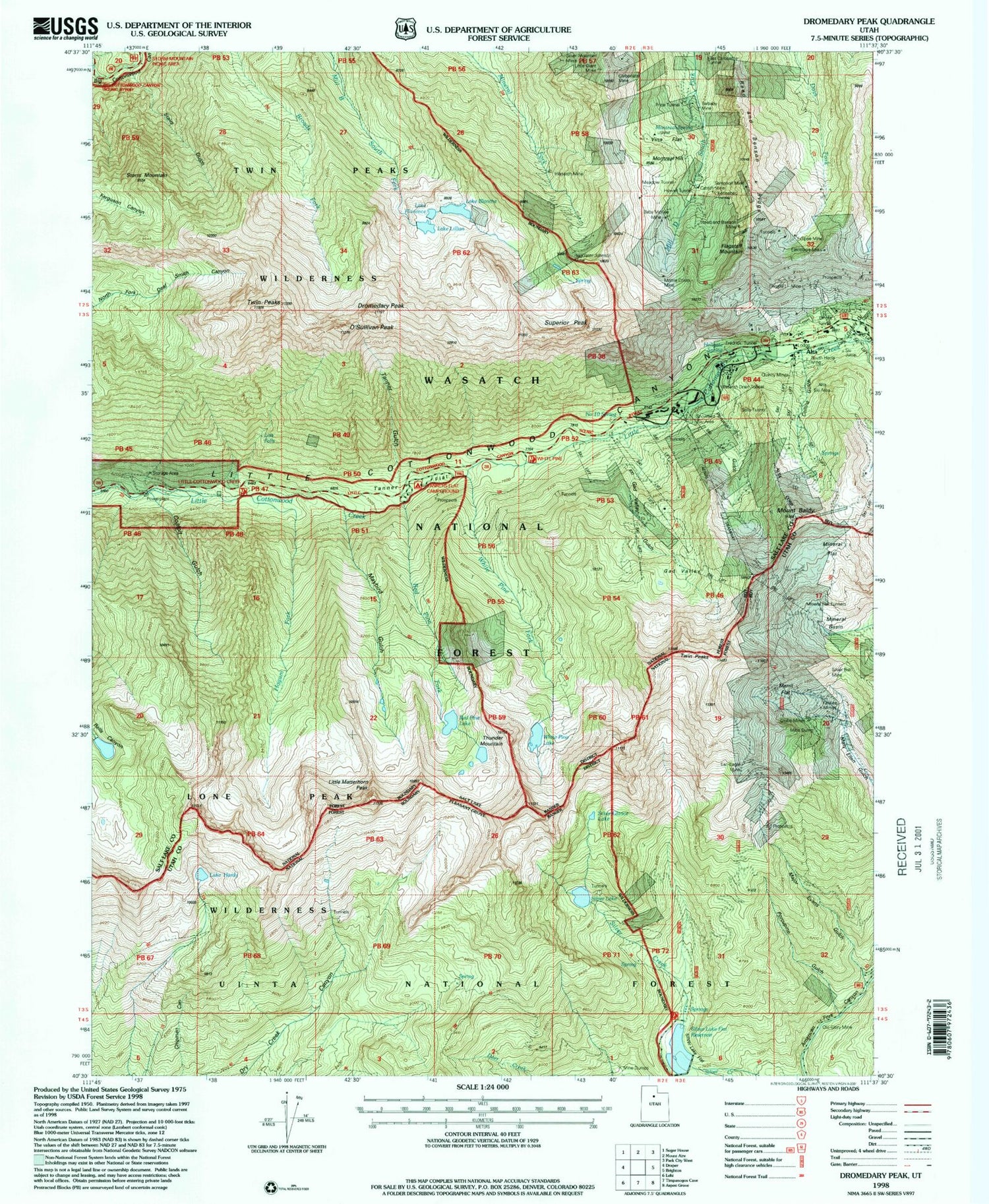
USGS Classic Dromedary Peak Utah 7.5'x7.5' Topo Map
Couldn't load pickup availability
Historical USGS topographic quad map of Dromedary Peak in the state of Utah. Scale: 1:24000. Print size: 24" x 27"
This quadrangle is in the following counties: Salt Lake, Utah.
The map contains contour lines, roads, rivers, towns, lakes, and grids including latitude / longitude and UTM / MGRS. Printed on high-quality waterproof paper with UV fade-resistant inks.
Contains the following named places: Alta Guard Station, Baby McKee Mine, Mount Baldy, Lake Blanche, Carbonate Mine, Cardiff Mine, Coalpit Gulch, Collins Gulch, Dromedary Peak, Earl-Eagle Mine, East Carbonate Tunnel, Eclipse Mine, Emma Tunnel, Flagstaff Mine, Flagstaff Mountain, Lake Florence, Fredrick Tunnel, Gad Valley, Gad Valley Gulch, Globe Mines, Lake Hardy, Hellgate Spring, Hogum Fork, Howell Tunnel, Kennebec Tunnel, Lake Lillian, Little Giant Mine, Major Evans Gulch, Maybird Gulch, Meadow Tunnel, Merril Flat, Mineral Basin, Mineral Flat, Mineral Flat Tunnels, Monte Cristo Mine, Montreal Hill, Montreal Spring, Peruvian Gulch, Porcupine Gulch, Price Tunnel, Quincy Mines, Red Pine Fork, Red Pine Lake, Reed and Benson Mine, Regulator Johnson Mine, Sampson Mine, Sells Tunnel, Silver Bell Mine, Silver Glance Lake, Silver Lake, Silver Mountain Mine, South Hecla Mine, Stairs Gulch, Storm Mountain, Tanner Gulch, Tarbaby Mine, Twin Peaks, Twin Peaks, Vina Flat, Wasatch Drain Tunnel, Wasatch Mine, White Pine Fork, White Pine Lake, Yankee Mines, Silver Lake Flat Reservoir, Silver Lake Flat Dam, Silver Lake Dam, White Pine Dam, Red Pine Dam, Alta Ski Area, Lisa Falls, The Pfeifferhorn, O'Sullivan Peak, Snowbird Ski and Summer Resort, Snowbird Ski Resort Heliport, Sundial Peak, Thunder Mountain, Upper Bells Canyon Reservoir, White Baldy, Alta City Cemetery, Alta, Tanners Flat Campground, Grizzly Gulch, Reed and Benson Ridge, Storm Mountain Picnic Area, Lone Peak Wilderness, Twin Peaks Wilderness, Lodge at Snowbird, Number 10 Spring, Cottonwood Division, Superior Peak, Snowbird Center, Snowbird Aerial Tram, Hidden Peak, Iron Blosam Lodge, The Inn, Big Cottonwood Canyon Resorts Census Designated Place, Unified Fire Authority Station 113 - Little Cottonwood Canyon


