MyTopo
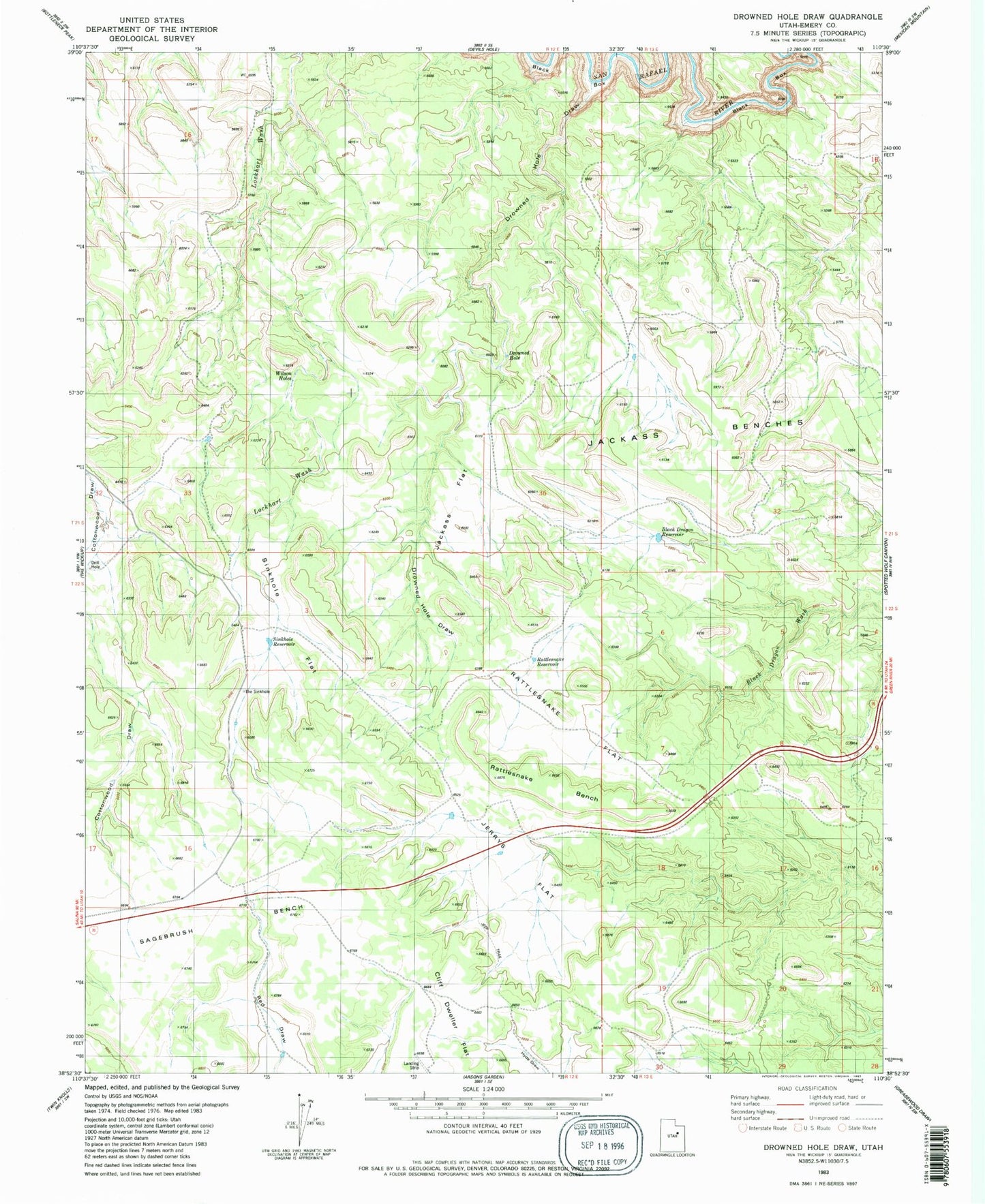
Classic USGS Drowned Hole Draw Utah 7.5'x7.5' Topo Map
Regular price
$16.95
Regular price
Sale price
$16.95
Unit price
per
Couldn't load pickup availability
Historical USGS topographic quad map of Drowned Hole Draw in the state of Utah. Map scale may vary for some years, but is generally around 1:24,000. Print size is approximately 24" x 27"
This quadrangle is in the following counties: Emery.
The map contains contour lines, roads, rivers, towns, and lakes. Printed on high-quality waterproof paper with UV fade-resistant inks, and shipped rolled.
Contains the following named places: Black Dragon Reservoir, Brillian Mine, Cliff Dweller Flat, Drowned Hole, Drowned Hole Draw, Jackass Benches, Jackass Flat, Jerrys Flat, Rattlesnake Bench, Rattlesnake Flat, Rattlesnake Reservoir, Sagebrush Bench, Sinkhole Flat, Sinkhole Reservoir, The Sinkhole, Wilson Hole