MyTopo
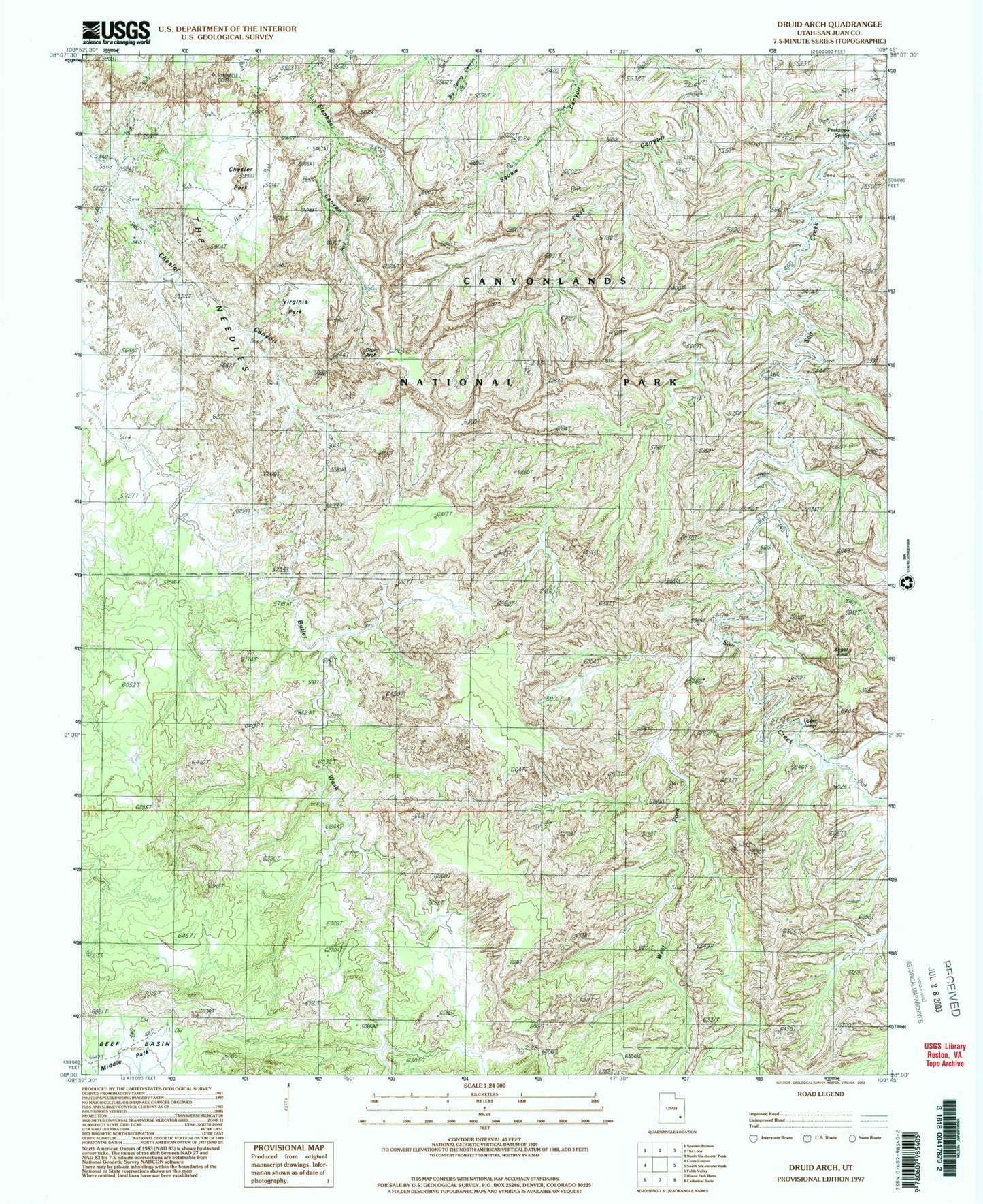
USGS Classic Druid Arch Utah 7.5'x7.5' Topo Map
Regular price
$16.95
Regular price
Sale price
$16.95
Unit price
per
Couldn't load pickup availability
Historical USGS topographic quad map of Druid Arch in the state of Utah. Scale: 1:24000. Print size: 24" x 27"
This quadrangle is in the following counties: San Juan.
The map contains contour lines, roads, rivers, towns, lakes, and grids including latitude / longitude and UTM / MGRS. Printed on high-quality waterproof paper with UV fade-resistant inks.
Contains the following named places: Chesler Park, The Needles, West Fork Salt Creek, Angel Arch, Peekaboo Spring, Joint Trail, Kirk Fence, S.O.B. Hill, Druid Arch, Peekaboo Spring, Upper Jump, Virginia Park, Kissing Cows, Trail Arch