MyTopo
Classic USGS Drummond Basin Oregon 7.5'x7.5' Topo Map
Couldn't load pickup availability
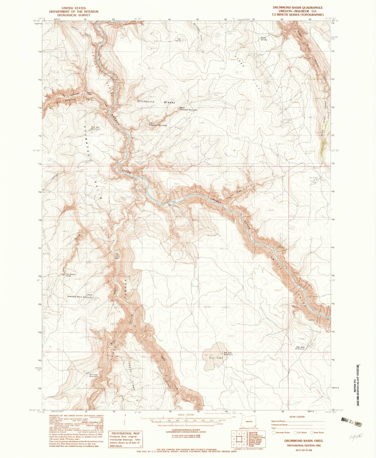
Historical USGS topographic quad map of Drummond Basin in the state of Oregon. Map scale may vary for some years, but is generally around 1:24,000. Print size is approximately 24" x 27"
This quadrangle is in the following counties: Malheur.
The map contains contour lines, roads, rivers, towns, and lakes. Printed on high-quality waterproof paper with UV fade-resistant inks, and shipped rolled.
Contains the following named places: Bay Duke Reservoir, Big Antelope Canyon, Big Antelope Creek, Brown Ridge, Brown Spring, Cave Creek, Drummond Basin, Dry Lake, Dry Lake Reservoir, Five Bar, Five Bar Reservoir, Half Way Tree, Hanson Canyon, Juniper Creek, Lower Crossing Big Antelope Creek, Lower Drummond Waterhole, North Cross Canyon, Overtime Reservoir, South Cross Canyon, South Drummond Basin Reservoir, The Butte, Toppin Creek, Toppin Creek V, Upper Drummond Waterhole, West Little Owyhee River