MyTopo
Classic USGS Drummond Michigan 7.5'x7.5' Topo Map
Couldn't load pickup availability
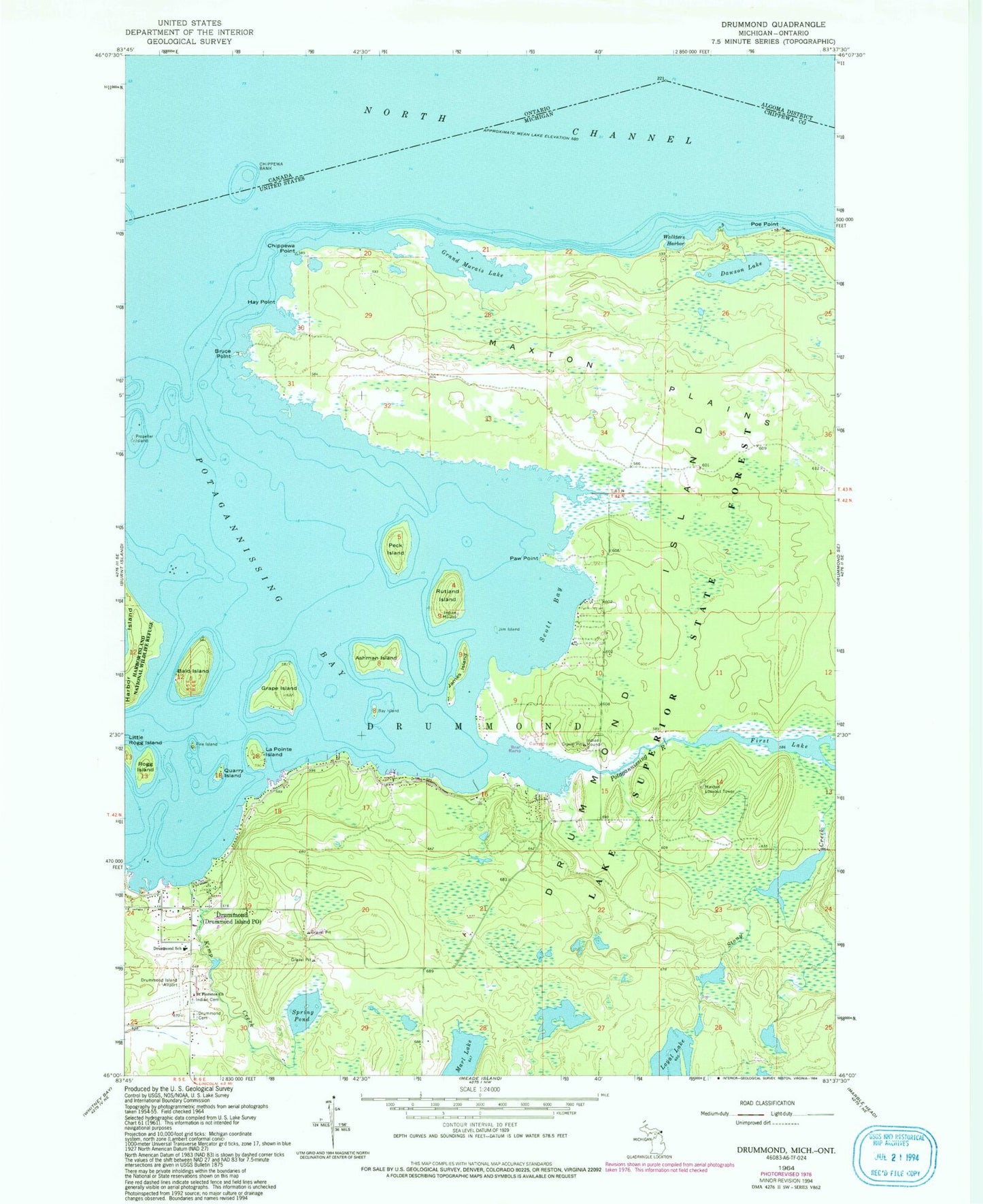
Historical USGS topographic quad map of Drummond in the state of Michigan. Typical map scale is 1:24,000, but may vary for certain years, if available. Print size: 24" x 27"
This quadrangle is in the following counties: Chippewa.
The map contains contour lines, roads, rivers, towns, and lakes. Printed on high-quality waterproof paper with UV fade-resistant inks, and shipped rolled.
Contains the following named places: Ashman Island, Bald Island, Bay Island, Bruce Point, Chippewa Bank, Chippewa Point, Dawson Lake, Drummond Cemetery, Drummond School, Fire Island, Grand Marais Lake, Grape Island, Hay Point, James Island, Jim Island, Kemp Creek, La Pointe Island, Little Rogg Island, Loyal Lake, Maxton Plains, Paw Point, Peck Island, Poe Point, Potagannissing River, Propeller Island, Quarry Island, Rogg Island, Rutland Island, Saint Florence Church, Scott Bay, Spring Pond, Stony Creek, Walkters Harbor, Chippewa Bank, Drummond Island Yacht Haven Ramp, Drummond Island Post Office, Hand H Marina, Drummond, Lykes Dock Ramp, Mossings Resort, Drummond Island Sports Center, Maxton, Drummond Island, Maxton Lookout Tower, Drummond Island Airport, Ashman Island Seaplane Base, Township of Drummond, Maxton Bay Campground, Maxton Post Office (historical), H and H Cabins and Campground, Drummond Island Library, Drummond Island Township Hall, Drummond Island Volunteer Fire and Rescue, Drummond Island Baptist Church, Drummond Island Historical Museum, Betsy Seamon Memorial Park, Drummond Island Medical Center, Lighthouse Christian Church, Drummond Island Golf Club, Drummond Island Township Ambulance Service, Drummond Island Indian Cemetery, Matthews Cemetery


