
MyTopo
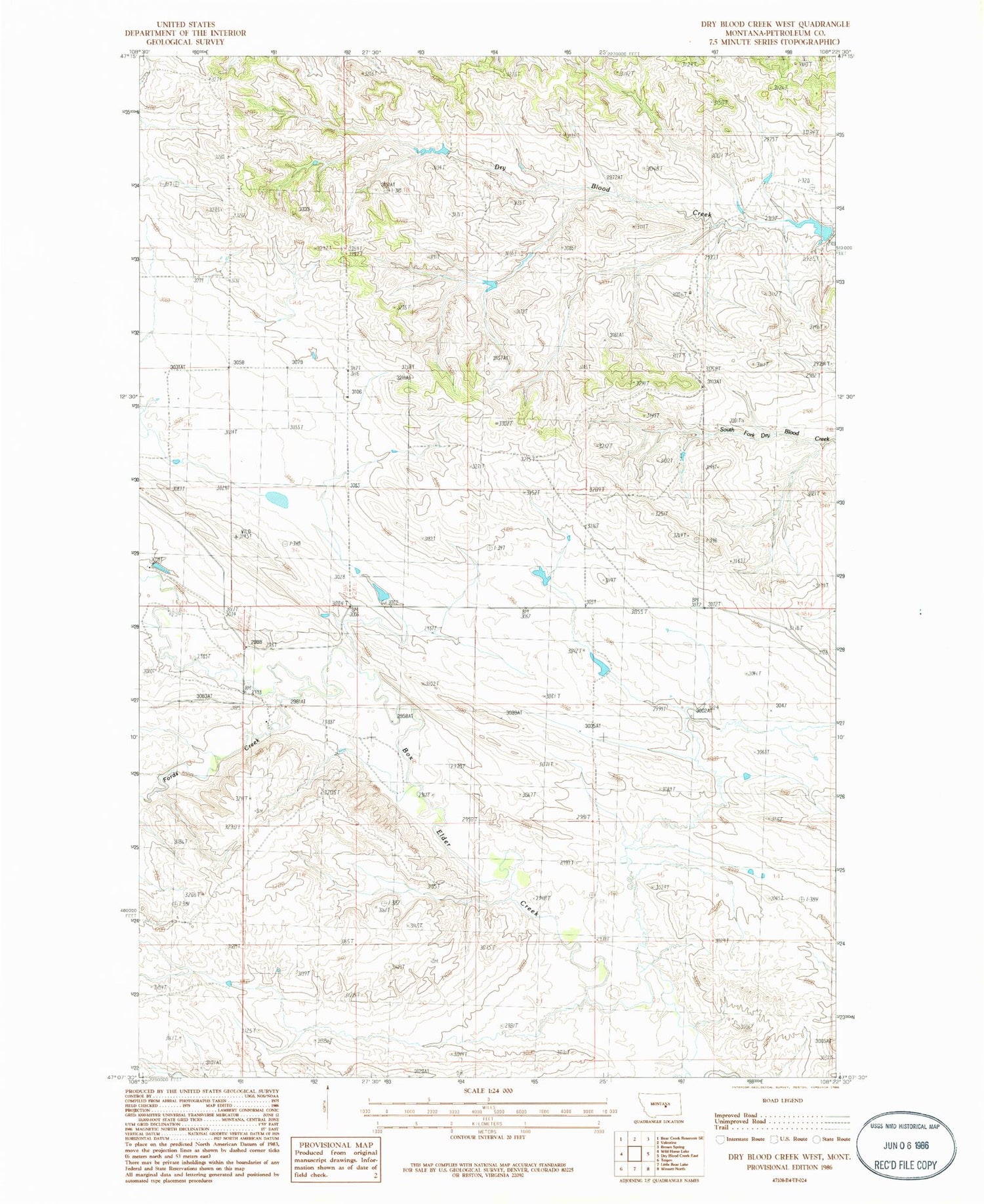
Classic USGS Dry Blood Creek West Montana 7.5'x7.5' Topo Map
Regular price
$16.95
Regular price
Sale price
$16.95
Unit price
per
Couldn't load pickup availability
Historical USGS topographic quad map of Dry Blood Creek West in the state of Montana. Map scale may vary for some years, but is generally around 1:24,000. Print size is approximately 24" x 27"
This quadrangle is in the following counties: Petroleum.
The map contains contour lines, roads, rivers, towns, and lakes. Printed on high-quality waterproof paper with UV fade-resistant inks, and shipped rolled.
Contains the following named places: 17N18E19DBDB01 Spring, 17N25E25AC__01 Well, Box Elder School, Edgewater Post Office, Fords Creek, Hailstone School, Leslie School, Resettlement FSA Number 5 Dam, Welter Post Office, Welter School


