MyTopo
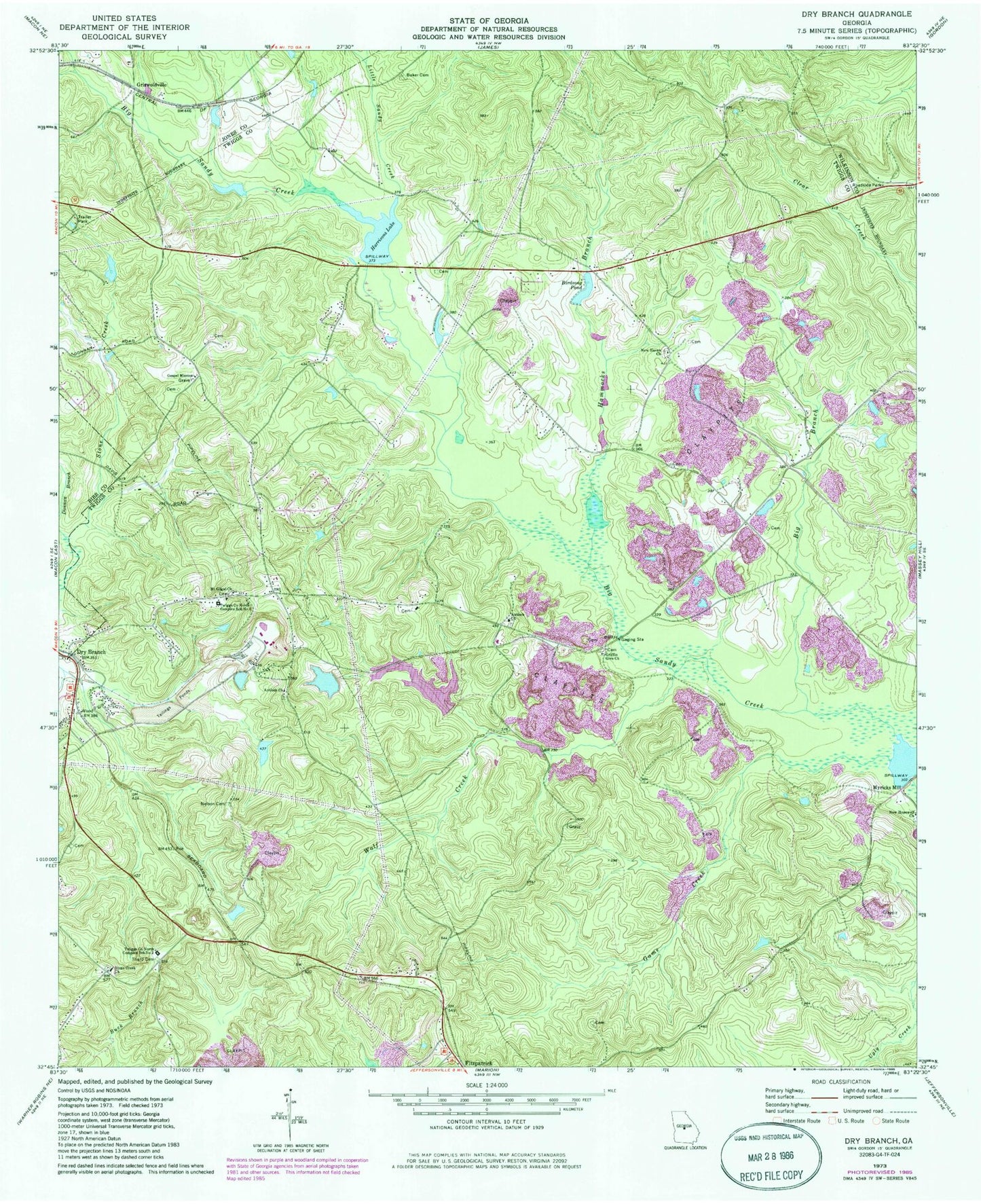
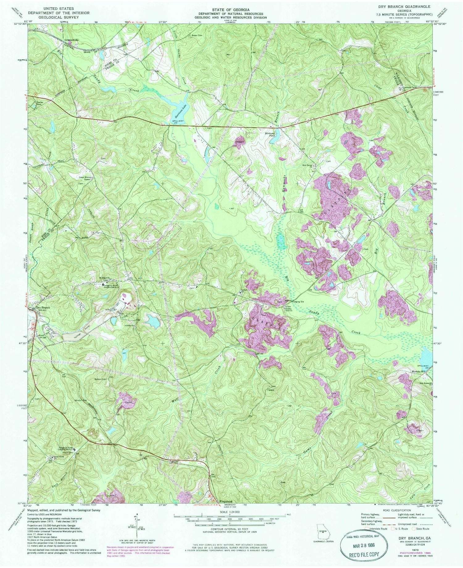
Classic USGS Dry Branch Georgia 7.5'x7.5' Topo Map
Couldn't load pickup availability
Historical USGS topographic quad map of Dry Branch in the state of Georgia. Map scale may vary for some years, but is generally around 1:24,000. Print size is approximately 24" x 27"
This quadrangle is in the following counties: Bibb, Jones, Twiggs, Wilkinson.
The map contains contour lines, roads, rivers, towns, and lakes. Printed on high-quality waterproof paper with UV fade-resistant inks, and shipped rolled.
Contains the following named places: Antioch Baptist Church, Antioch Cemetery, Antioch Church, Antioch School, Baker Cemetery, Big Branch, Birdsong Pond, Birdsong Pond Dam, Burkett Cemetery, Donnan Branch, Dry Branch, Dry Branch Church, Dry Branch Volunteer Fire Department, Epps - Champion Cemetery, First Congregational Holiness Church, Game Creek, Gospel Mission, Griffin Give Church, Griffin School, Griswoldville, Griswoldville Junior High School, Hammocks Branch, Harrisons Lake, Harrisons Lake Dam, Jolly Pond, Jolly Pond Dam, Kitchens Cemetery, Little Sandy Creek, Mount Gilgal Cemetery, Mount Gilgal Church, Myricks Mill, Myricks Mill Pond Dam, Myricks Millpond, Nelson Cemetery, New Haven Baptist Cemetery, New Haven Church, Stone Creek Academy, Stone Creek Church, Tharp Cemetery, Twiggs County North Complex School Number 1, Twiggs County North Complex School Number 2, WBNM-AM (Gordon), Wolf Creek


