MyTopo
Classic USGS Dry Coulee Montana 7.5'x7.5' Topo Map
Couldn't load pickup availability
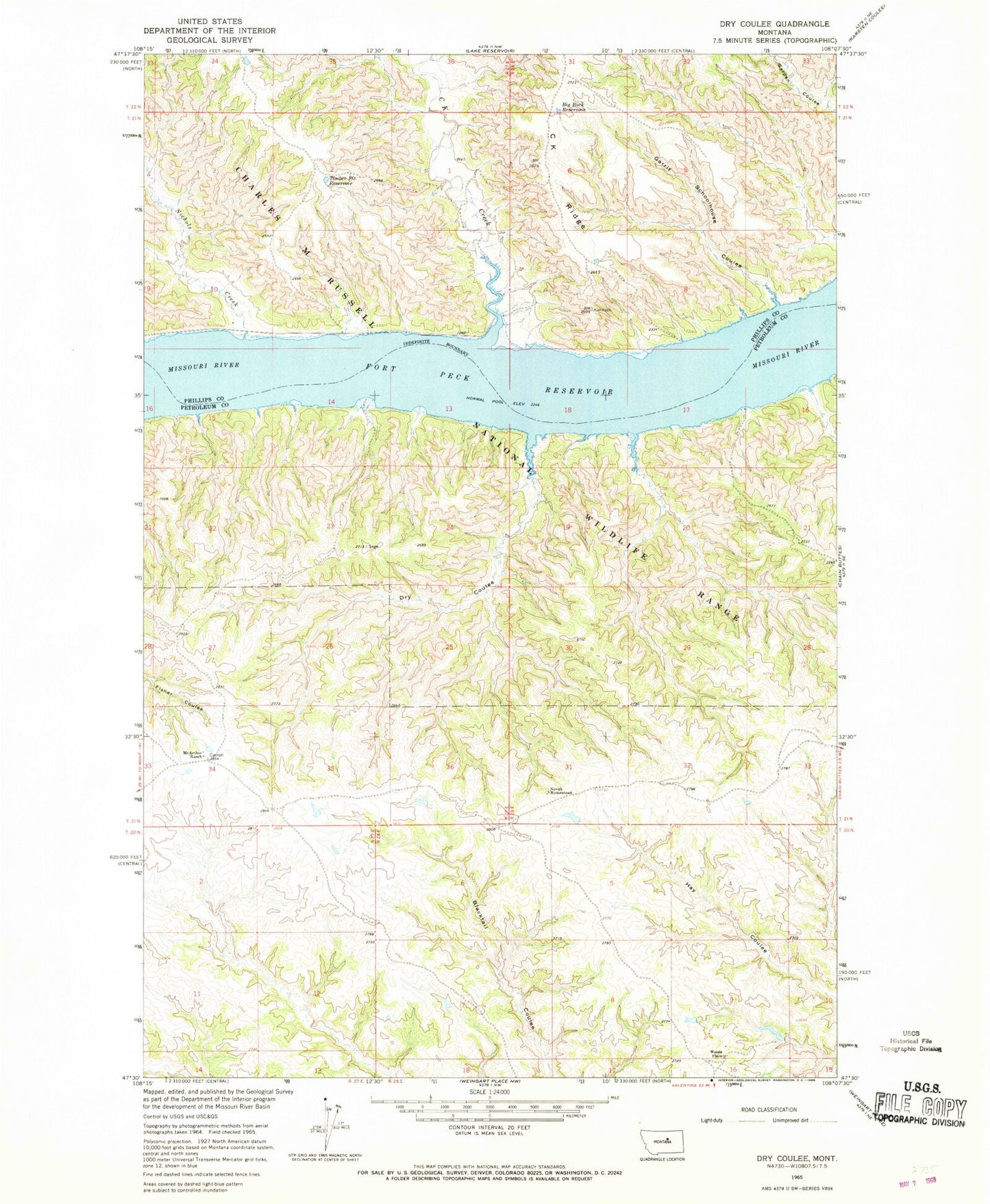
Historical USGS topographic quad map of Dry Coulee in the state of Montana. Map scale may vary for some years, but is generally around 1:24,000. Print size is approximately 24" x 27"
This quadrangle is in the following counties: Petroleum, Phillips.
The map contains contour lines, roads, rivers, towns, and lakes. Printed on high-quality waterproof paper with UV fade-resistant inks, and shipped rolled.
Contains the following named places: 21N27E01ACCB01 Well, 21N27E34ACCC01 Well, 21N27E34CA__01 Well, Big Rock Reservoir, C K Creek, C K Ridge, CeeKay School, Dry Coulee, Fort Andrew, Garrit Schoolhouse Coulee, McArthur Ranch, Nichol Post Office, Nichols Coulee, Novak Homestead, Ox Yoke Dam, Timber Pit Reservoir, Woods Place