MyTopo
Classic USGS Dry Creek Butte Montana 7.5'x7.5' Topo Map
Couldn't load pickup availability
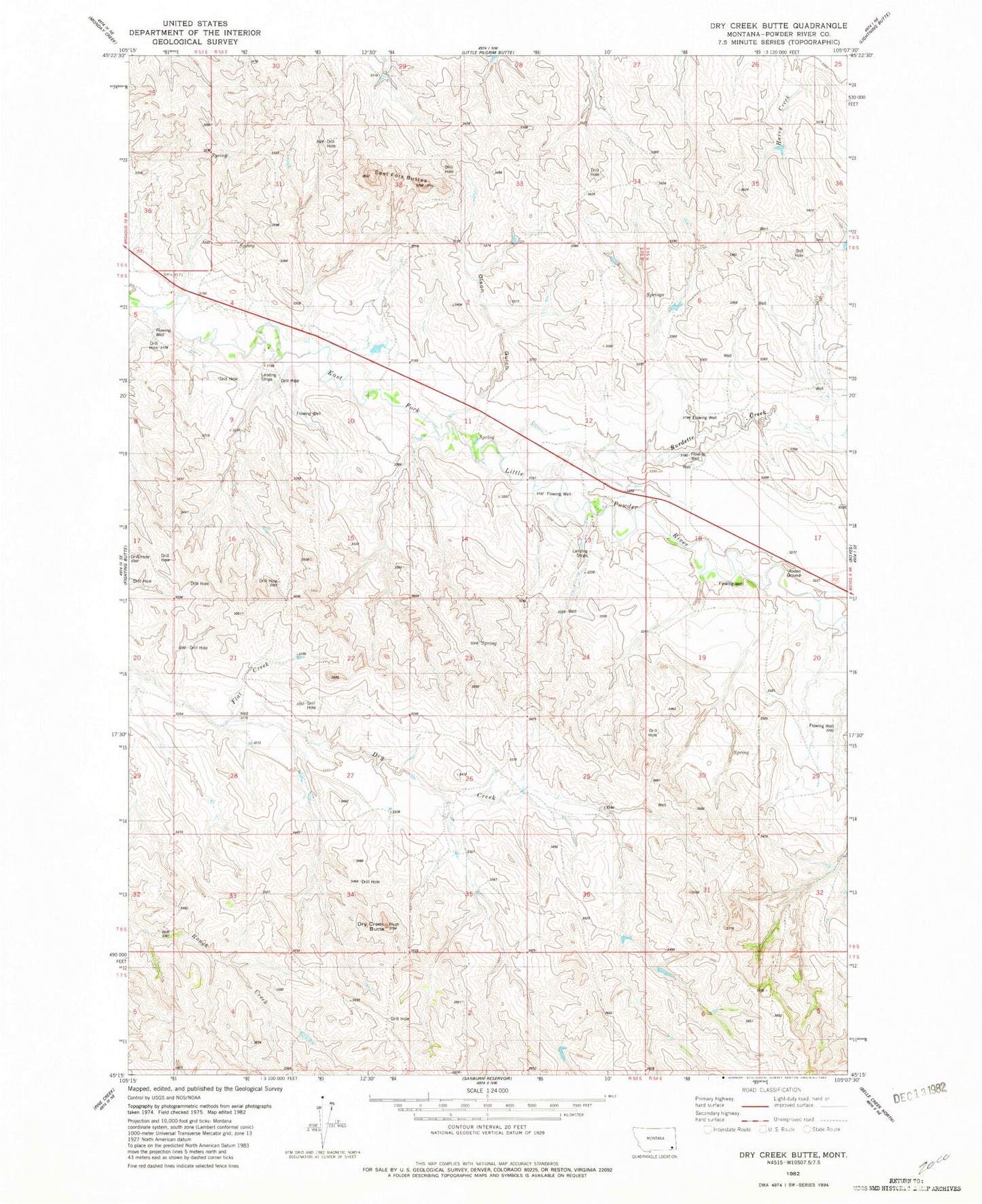
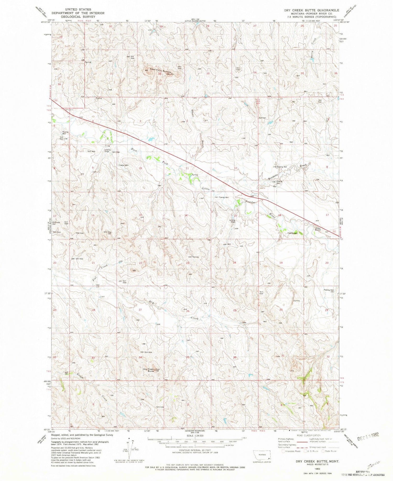
Historical USGS topographic quad map of Dry Creek Butte in the state of Montana. Map scale may vary for some years, but is generally around 1:24,000. Print size is approximately 24" x 27"
This quadrangle is in the following counties: Powder River.
The map contains contour lines, roads, rivers, towns, and lakes. Printed on high-quality waterproof paper with UV fade-resistant inks, and shipped rolled.
Contains the following named places: 06S53E03DDC_01 Well, 06S53E04DDCB01 Well, 06S53E09ADA_01 Well, 06S53E13ACBB01 Well, 06S53E13CD__01 Well, 06S53E17DC__01 Well, 06S53E25DCAB01 Well, 06S53E27DDBA01 Well, 06S53E28ABDC01 Well, Burdette Creek, Dry Creek Butte, East Fork Buttes, Flat Creek, Klapmeier Ranch Airport, Olson Gulch