MyTopo
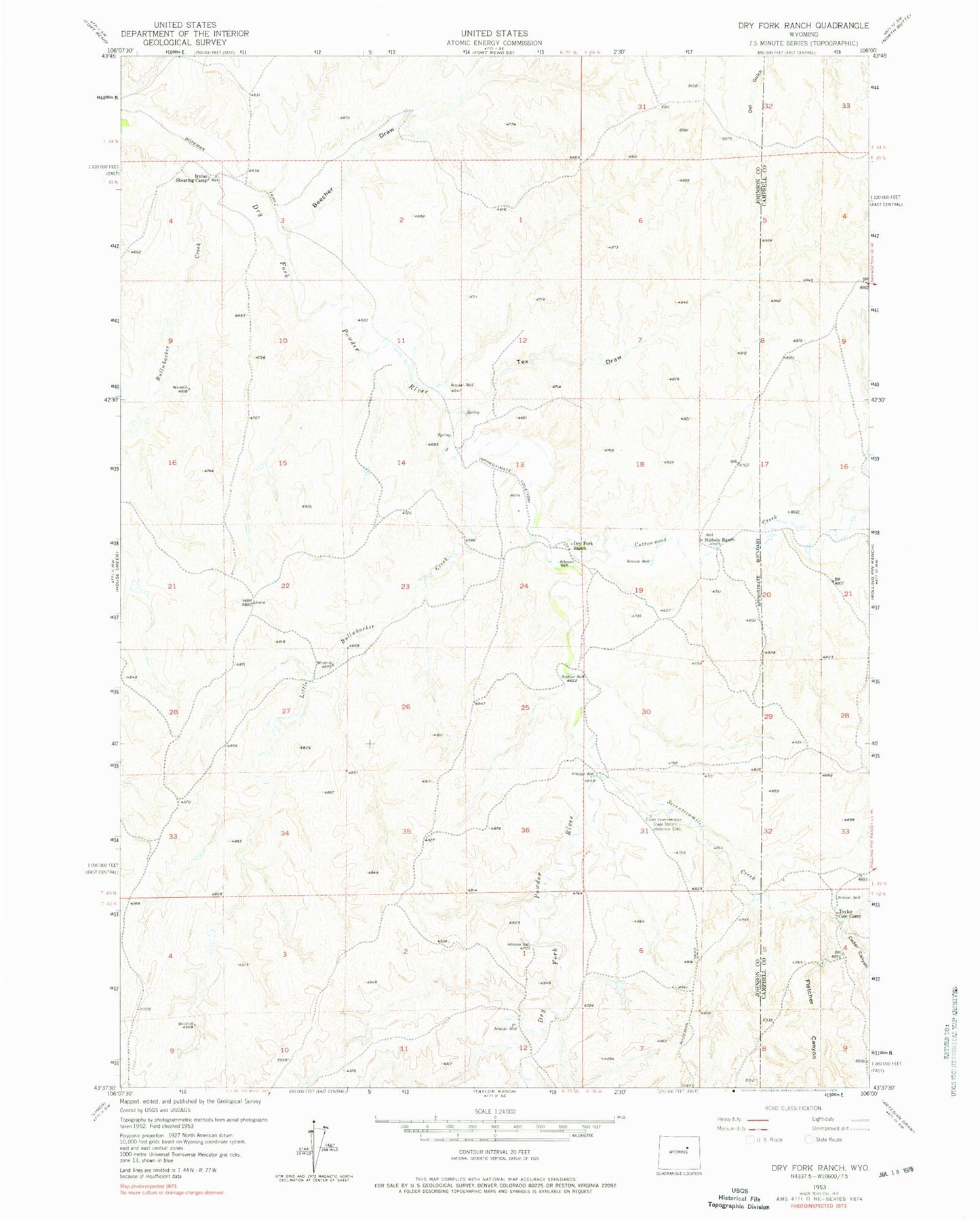
Classic USGS Dry Fork Ranch Wyoming 7.5'x7.5' Topo Map
Couldn't load pickup availability
Historical USGS topographic quad map of Dry Fork Ranch in the state of Wyoming. Map scale may vary for some years, but is generally around 1:24,000. Print size is approximately 24" x 27"
This quadrangle is in the following counties: Campbell, Johnson.
The map contains contour lines, roads, rivers, towns, and lakes. Printed on high-quality waterproof paper with UV fade-resistant inks, and shipped rolled.
Contains the following named places: Alice-Mae Mine, Antelope Mine, Artesian Dam, Artesian Upper Reservoir, Beecher Draw, Bullwhacker Creek, Cedar Canyon, Columbus Mine, Cottonwood Creek, Dry Fork Ranch, Fletcher Canyon, Irvine Shearing Camp, Little Bullwhacker Creek, Nichols Ranch, Seventeenmile Creek, Snakebite Number Two Mine, Sunset Mines, Taylor Cow Camp, Tex Draw, Tyjil Number One Mine, Water Hole Dam, Water Hole Reservoir