MyTopo
Classic USGS Dry Fork Ridge Montana 7.5'x7.5' Topo Map
Couldn't load pickup availability
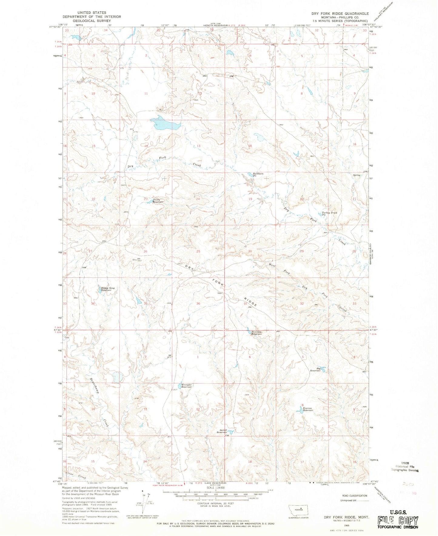
Historical USGS topographic quad map of Dry Fork Ridge in the state of Montana. Map scale may vary for some years, but is generally around 1:24,000. Print size is approximately 24" x 27"
This quadrangle is in the following counties: Phillips.
The map contains contour lines, roads, rivers, towns, and lakes. Printed on high-quality waterproof paper with UV fade-resistant inks, and shipped rolled.
Contains the following named places: 23N28E06CCAD01 Well, Bog Reservoir, Buckhorn Pit, Current Dam, Dry Fork Ridge, Dusky Reservoir, Express Reservoir, Garey Coulee, Happy Gang Reservoir, Hoverson Reservoir, Isaac Frye Number 1 Dam, Isaac Frye Number 4 Dam, PR-11 Dam, Sorrell Reservoir, Trine Creek, Turkey Track Pit, Wrangler Reservoir